

Splash Down Canyon, AZ
Location: Arizona, Four Peaks Wilderness
Rating: 3B-II
Longest Rappel: ≈ 140'
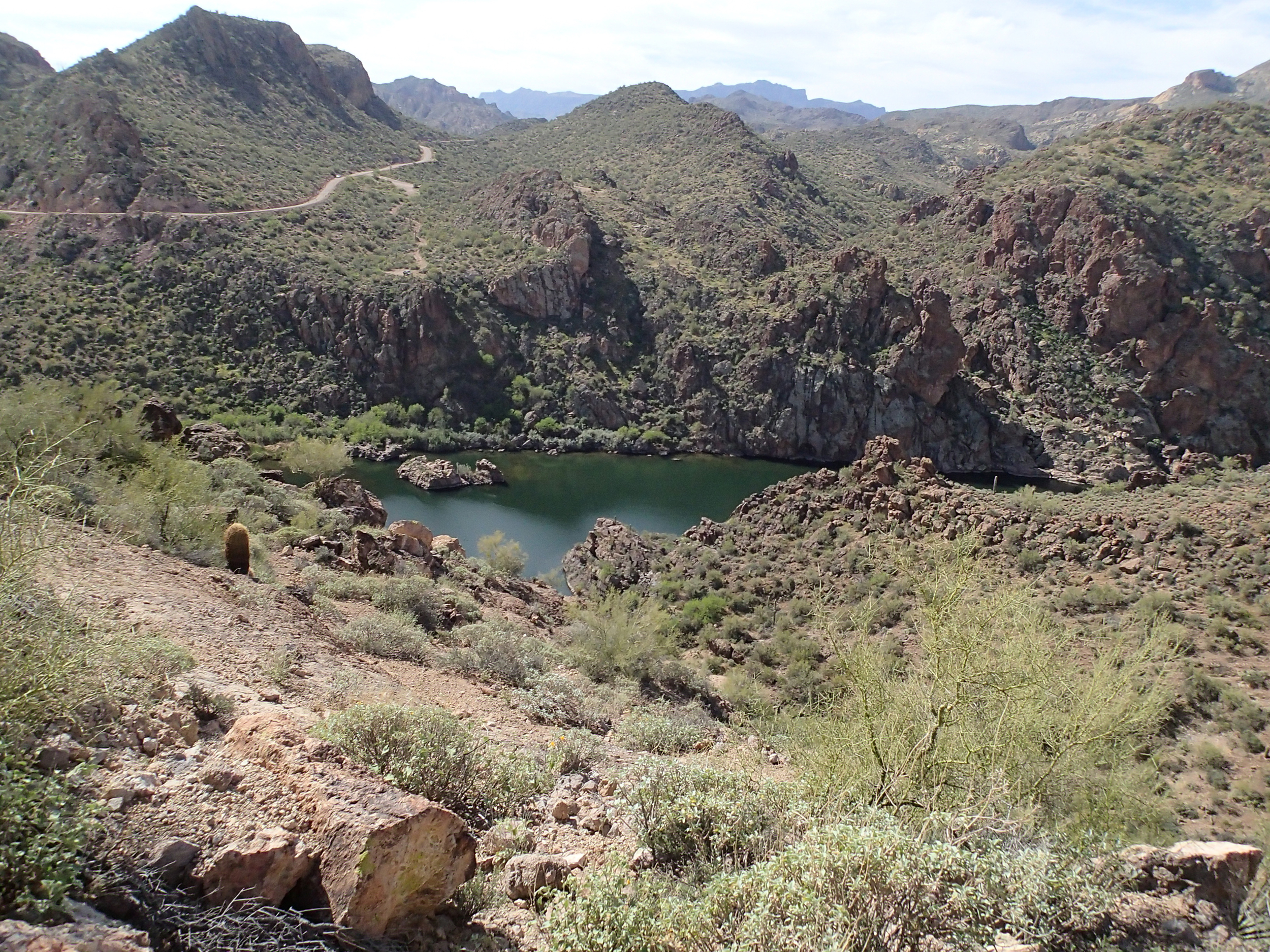
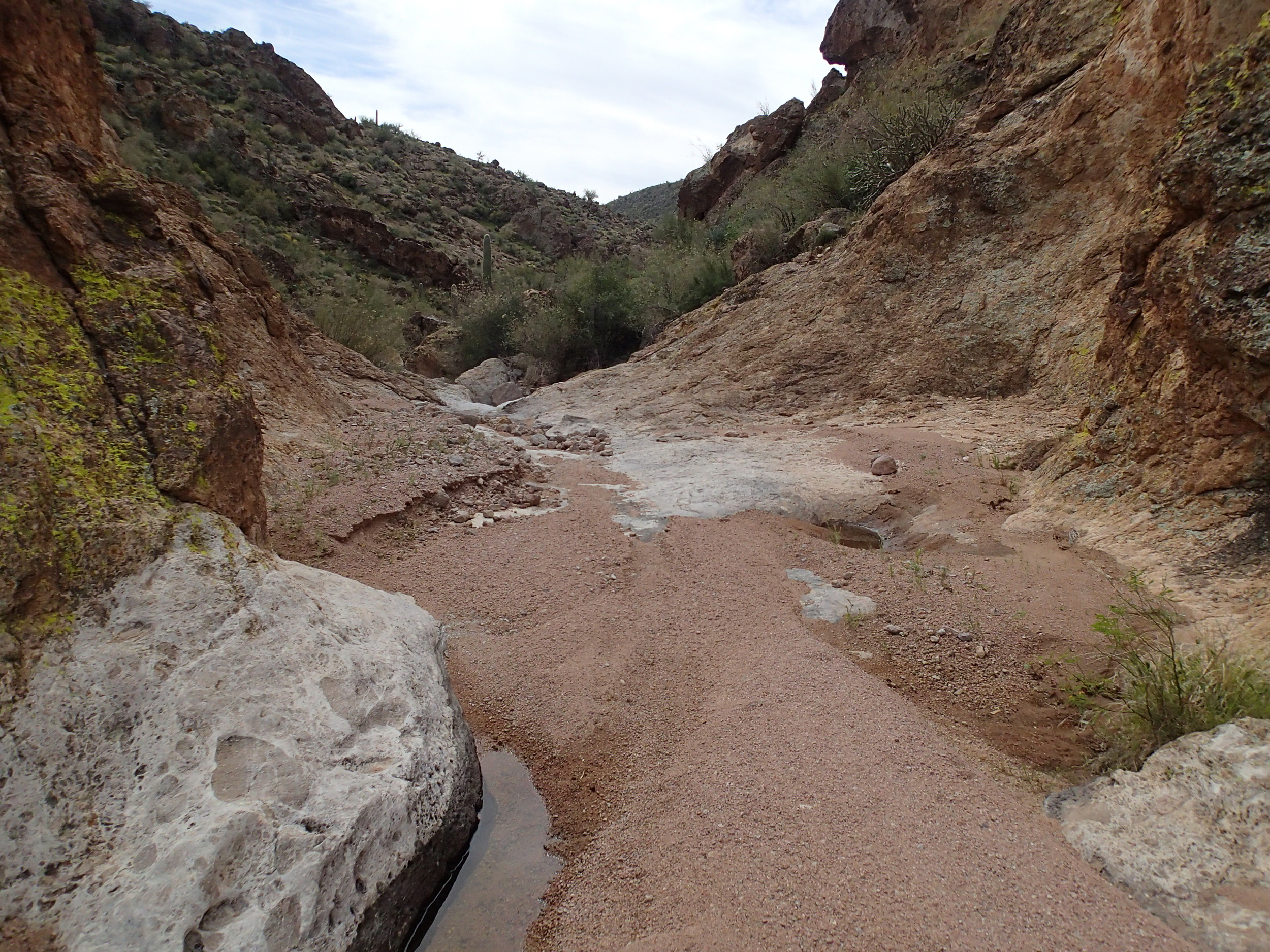
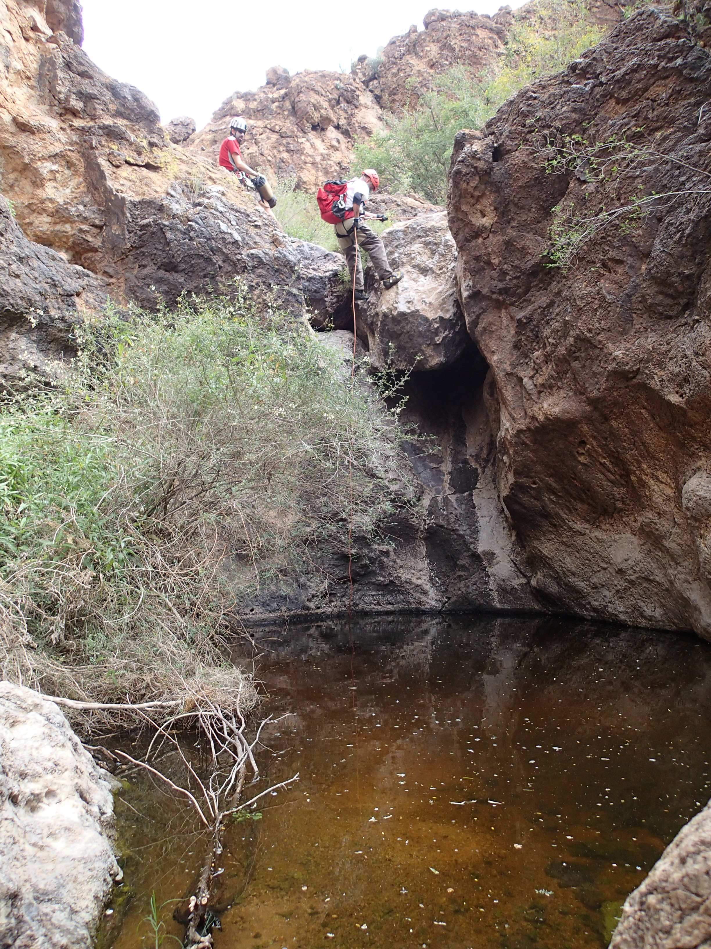
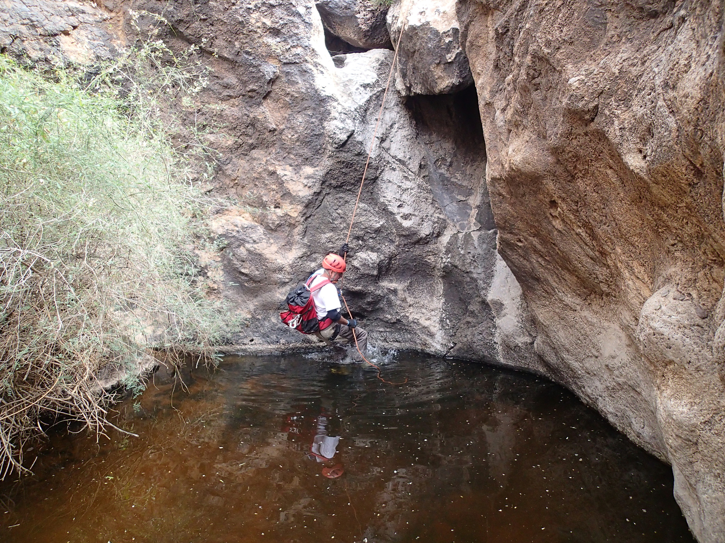
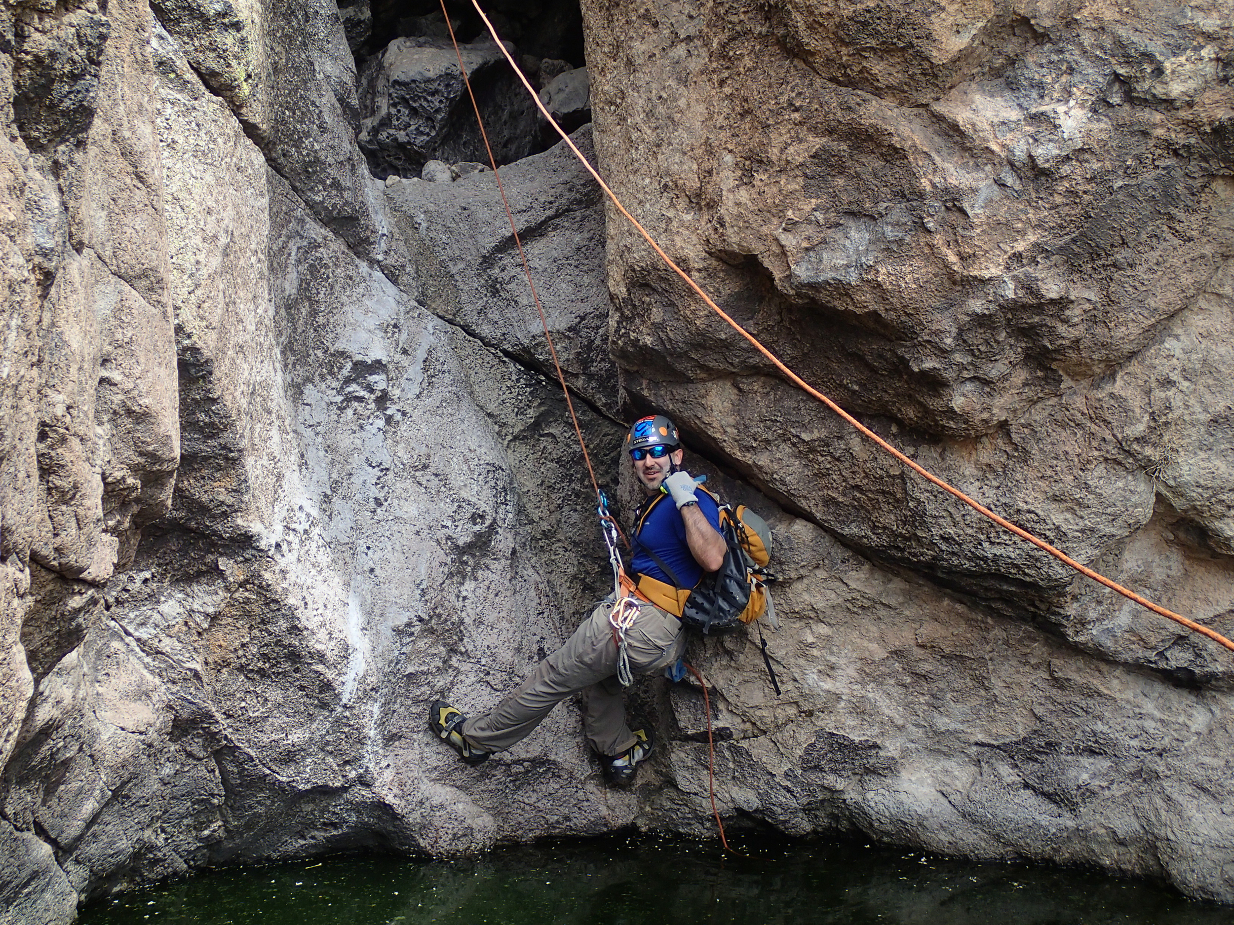
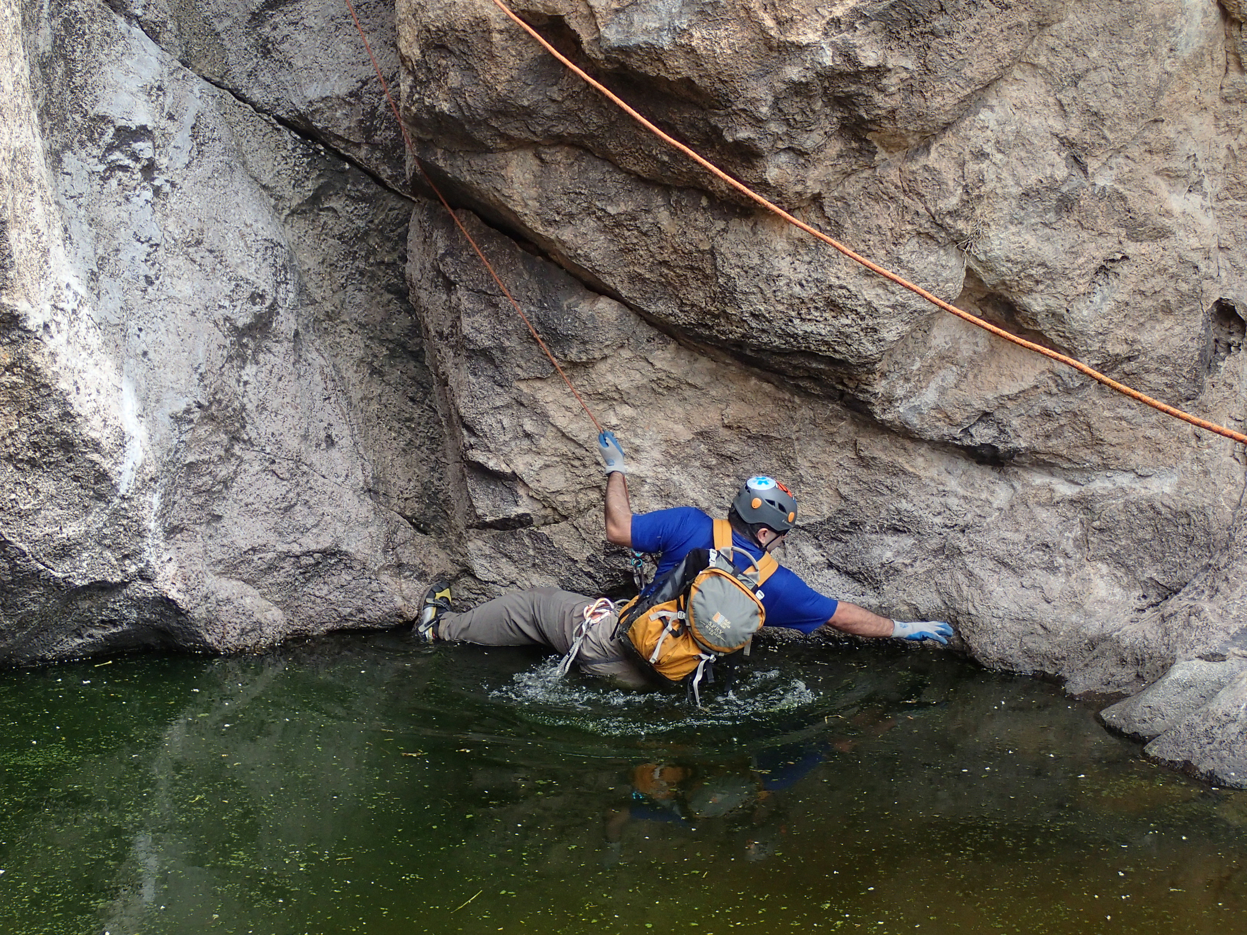
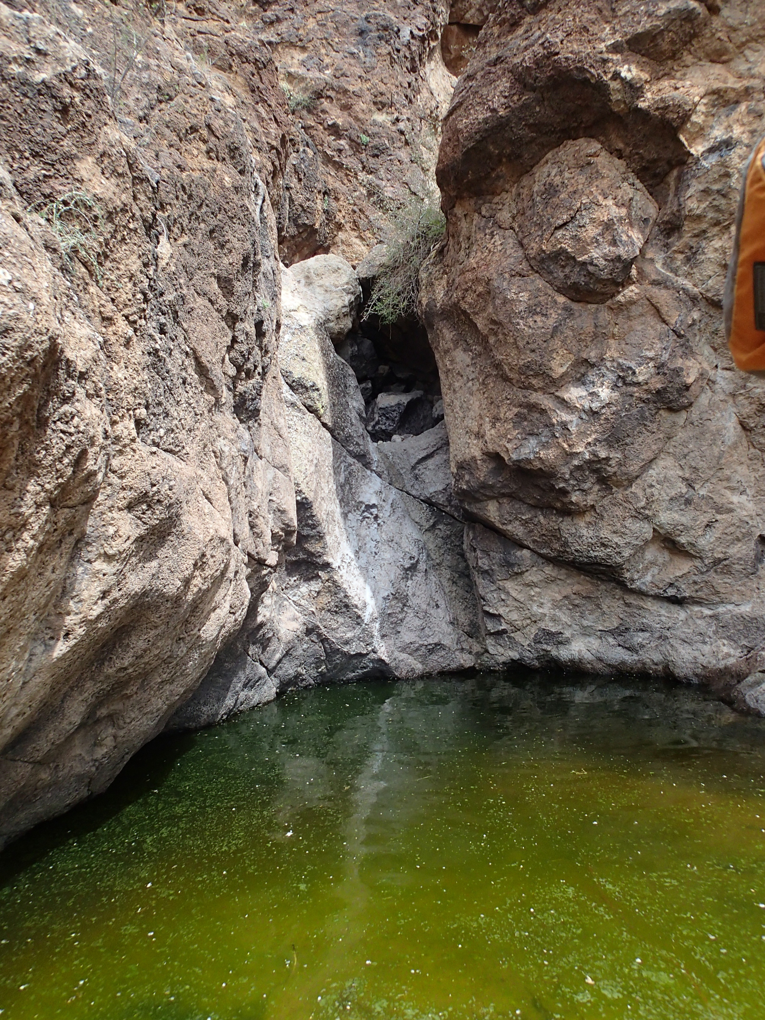
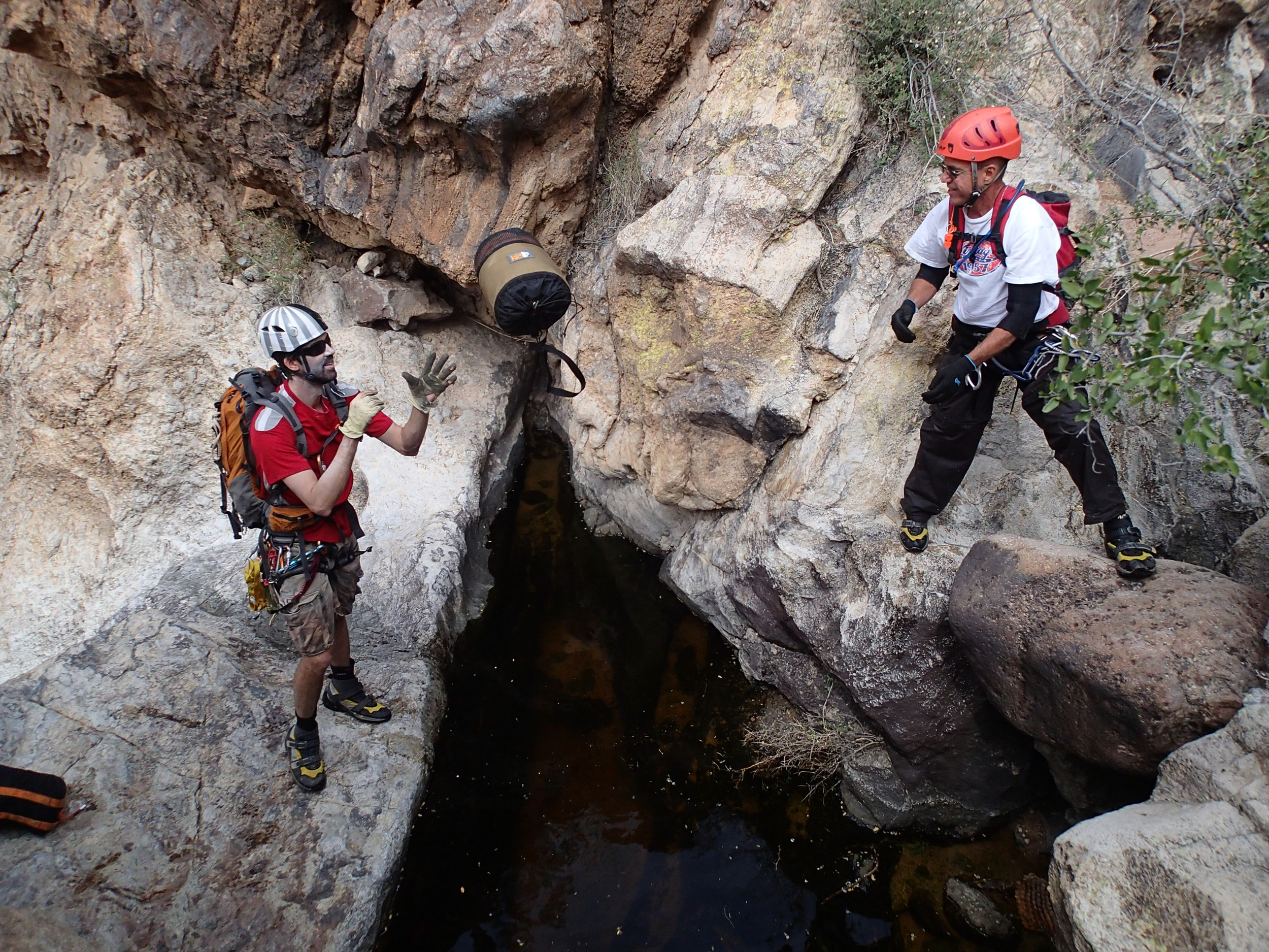
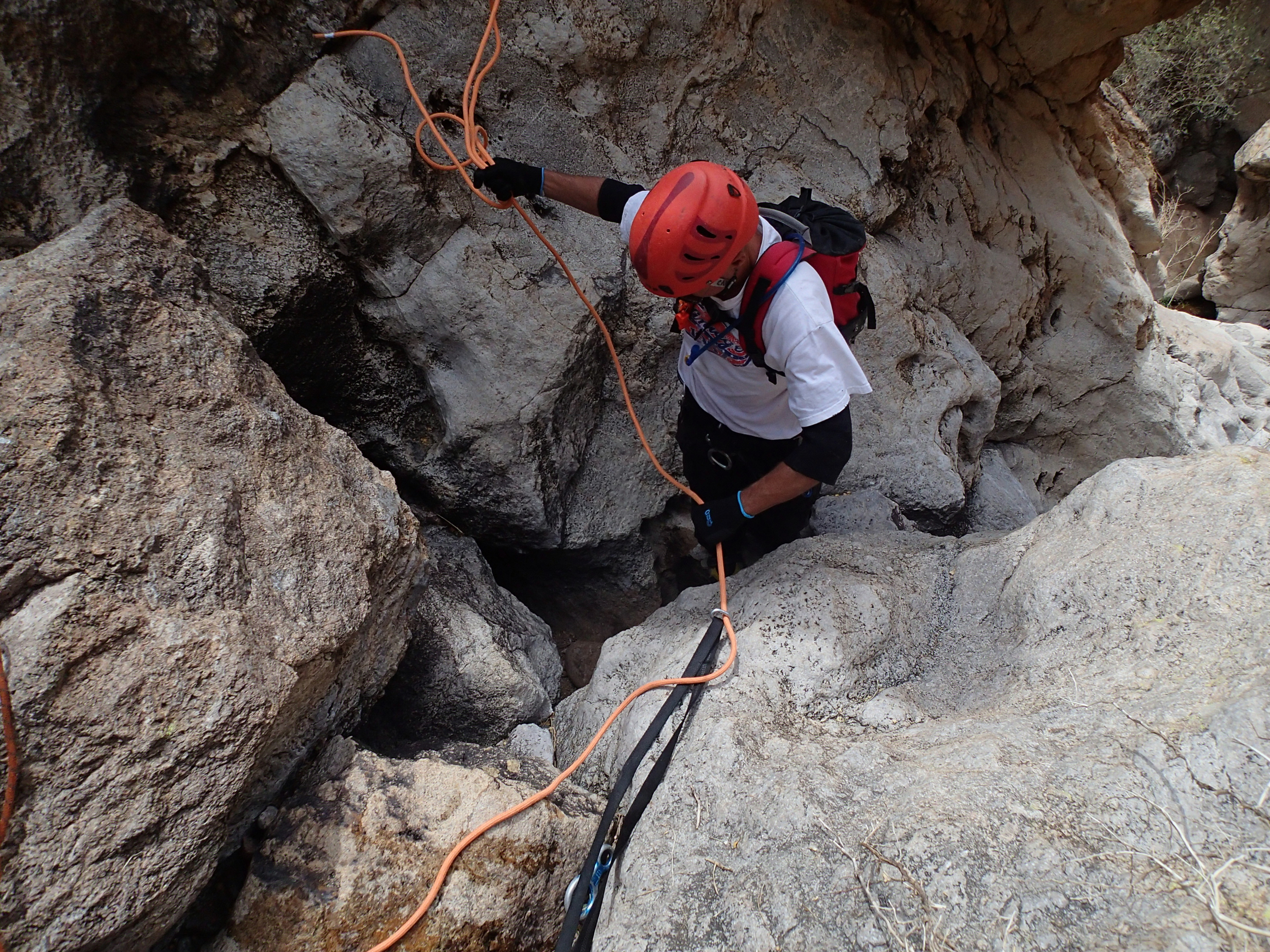
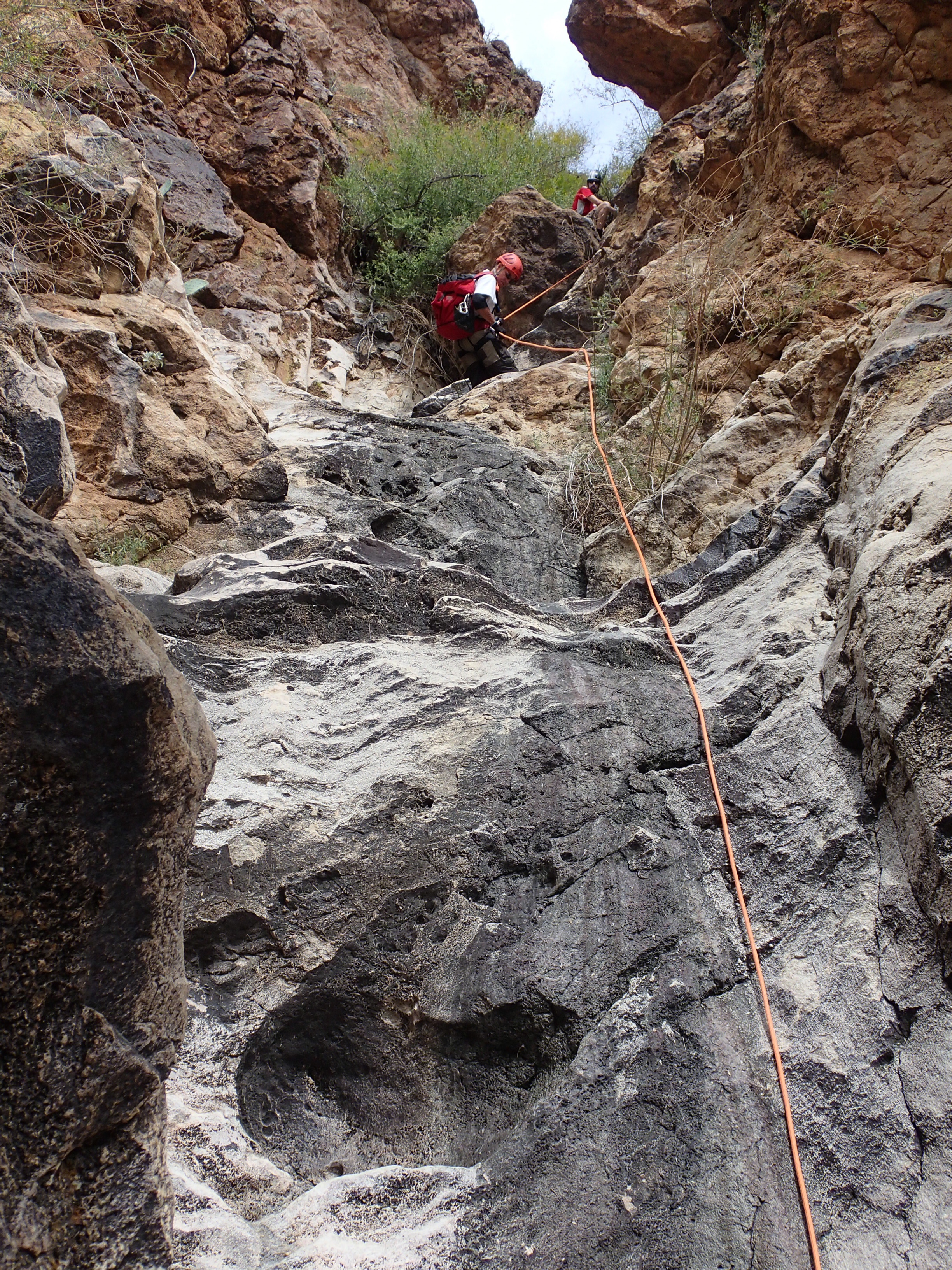
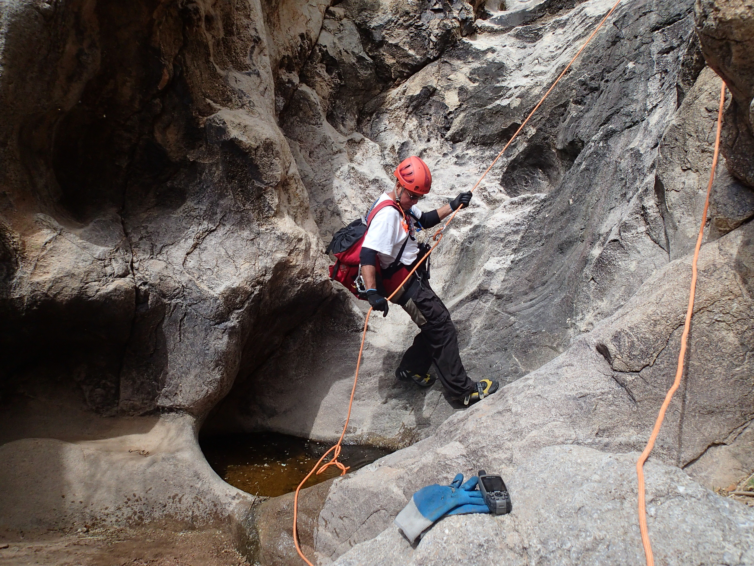
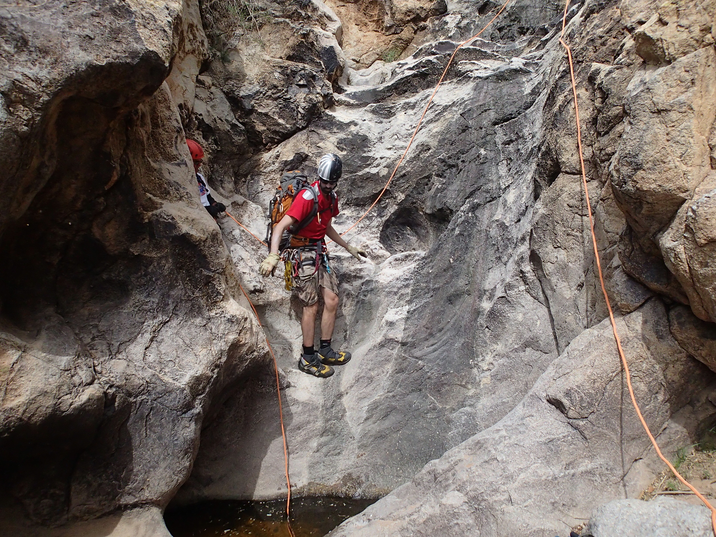
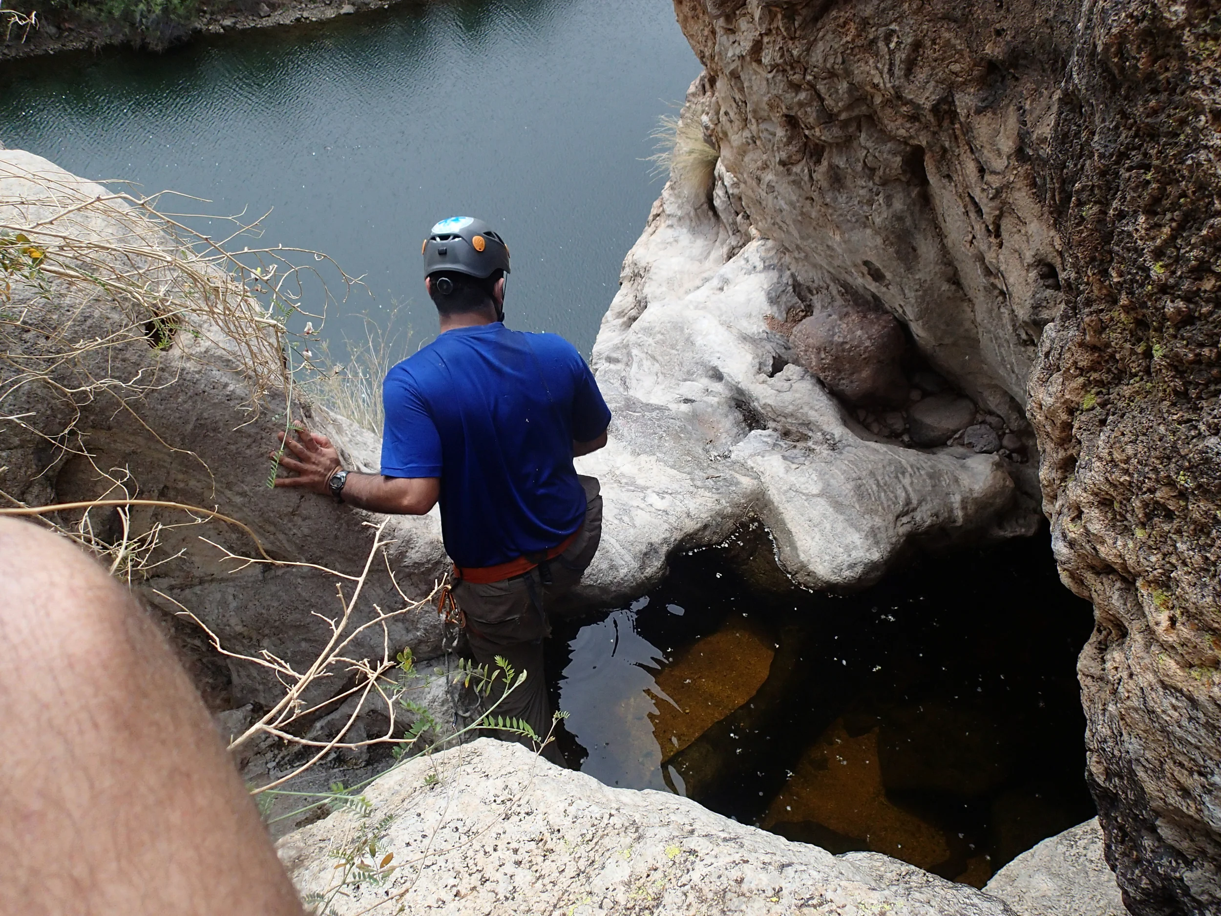
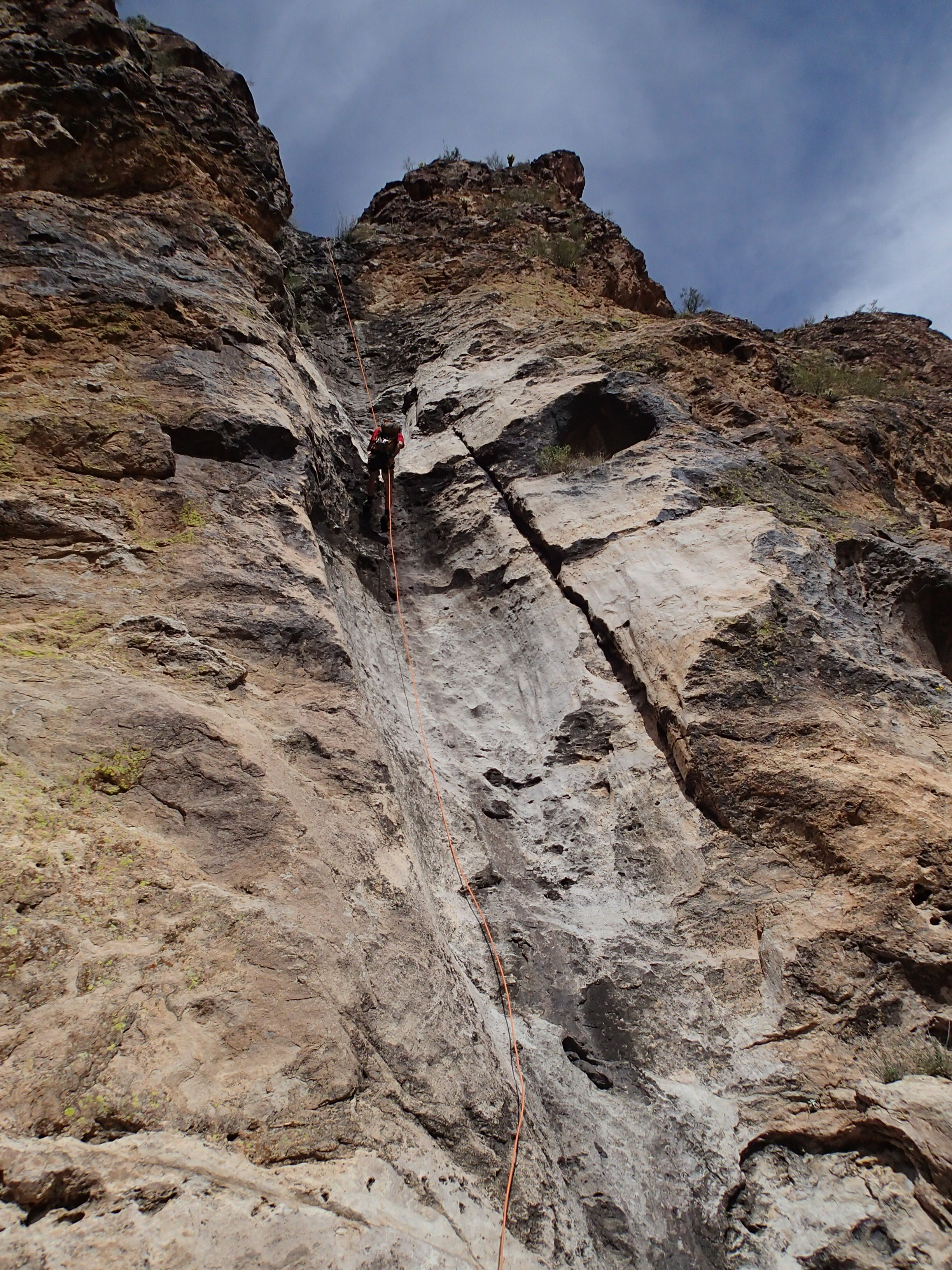
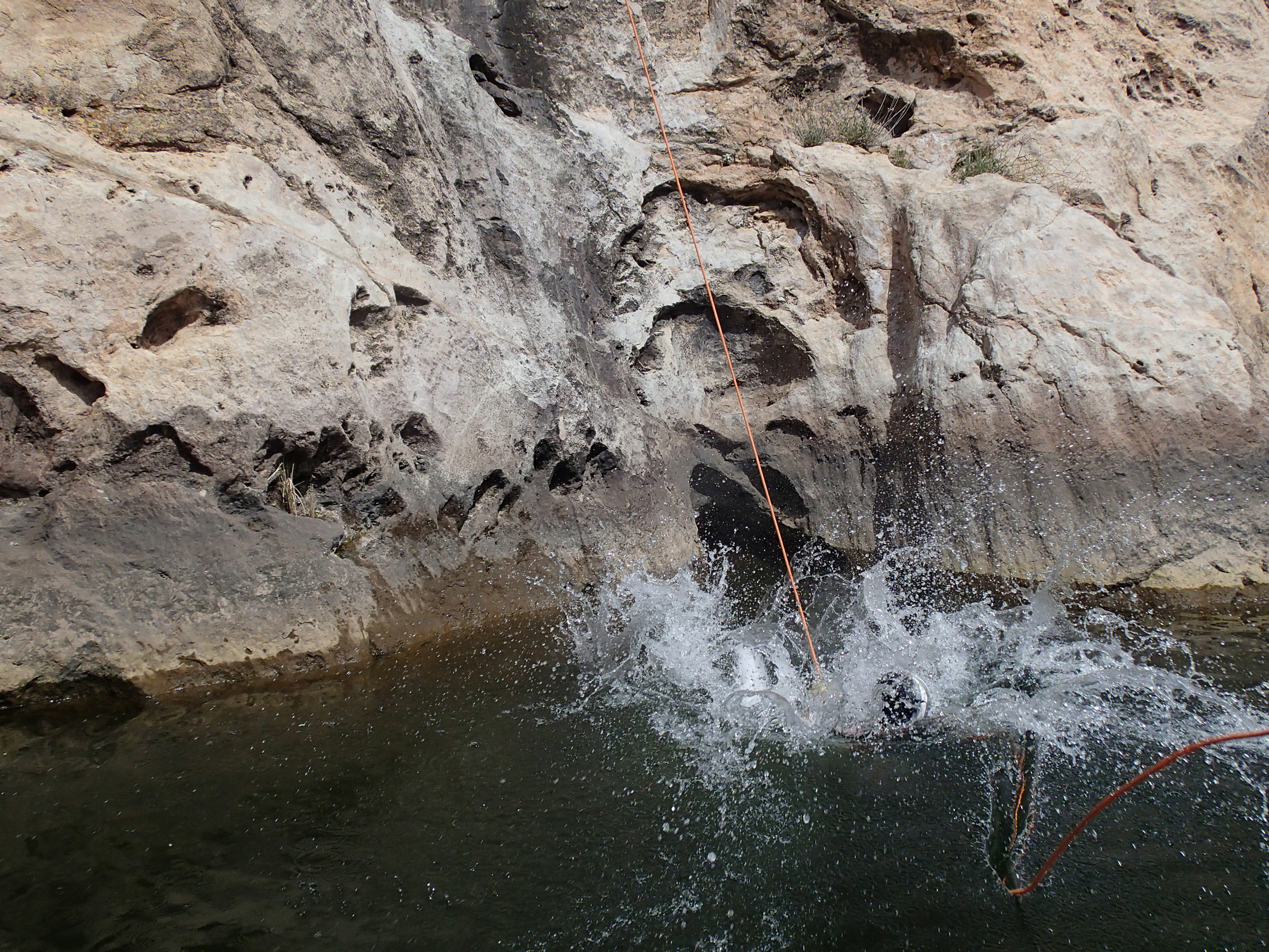
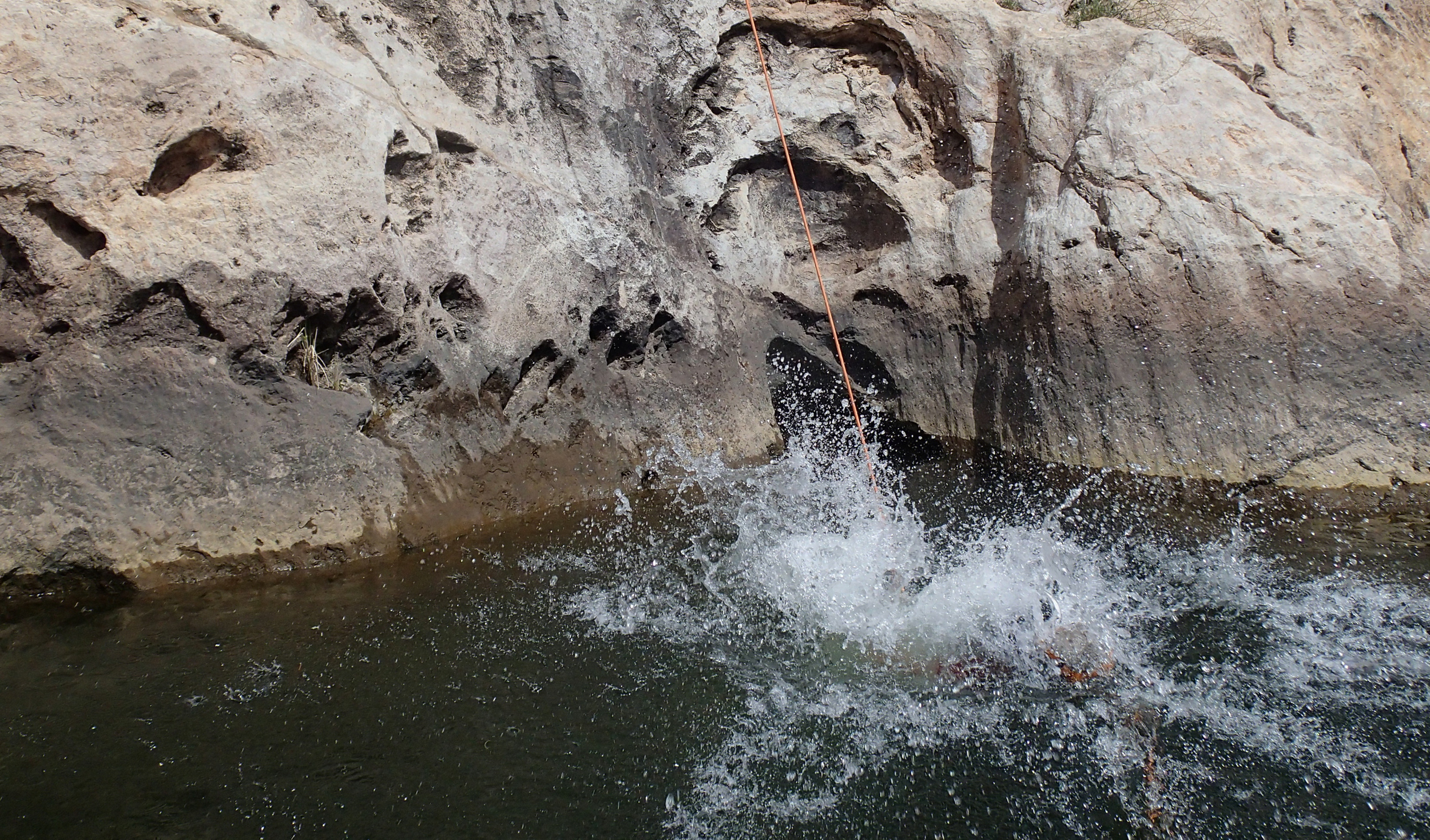
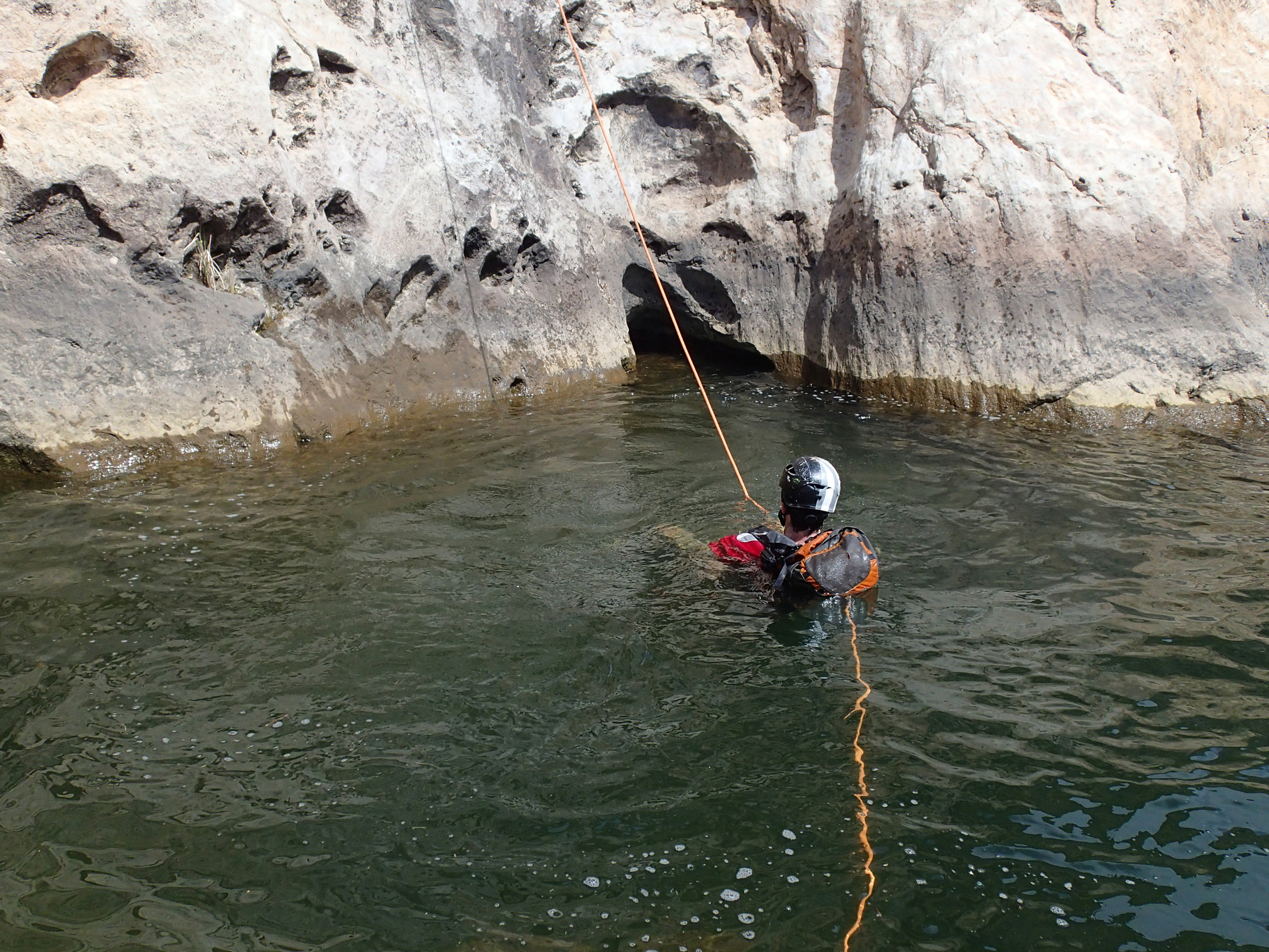
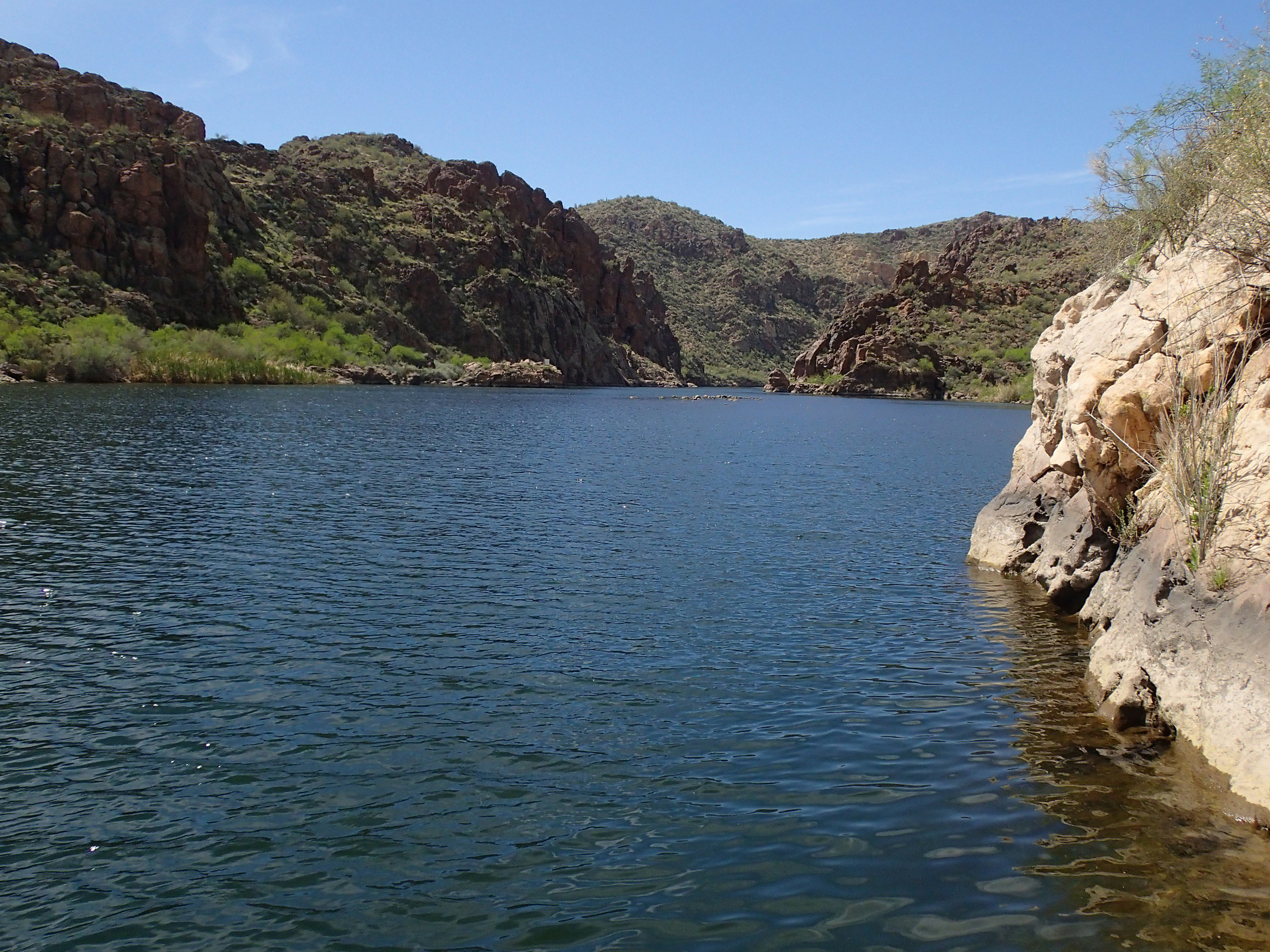
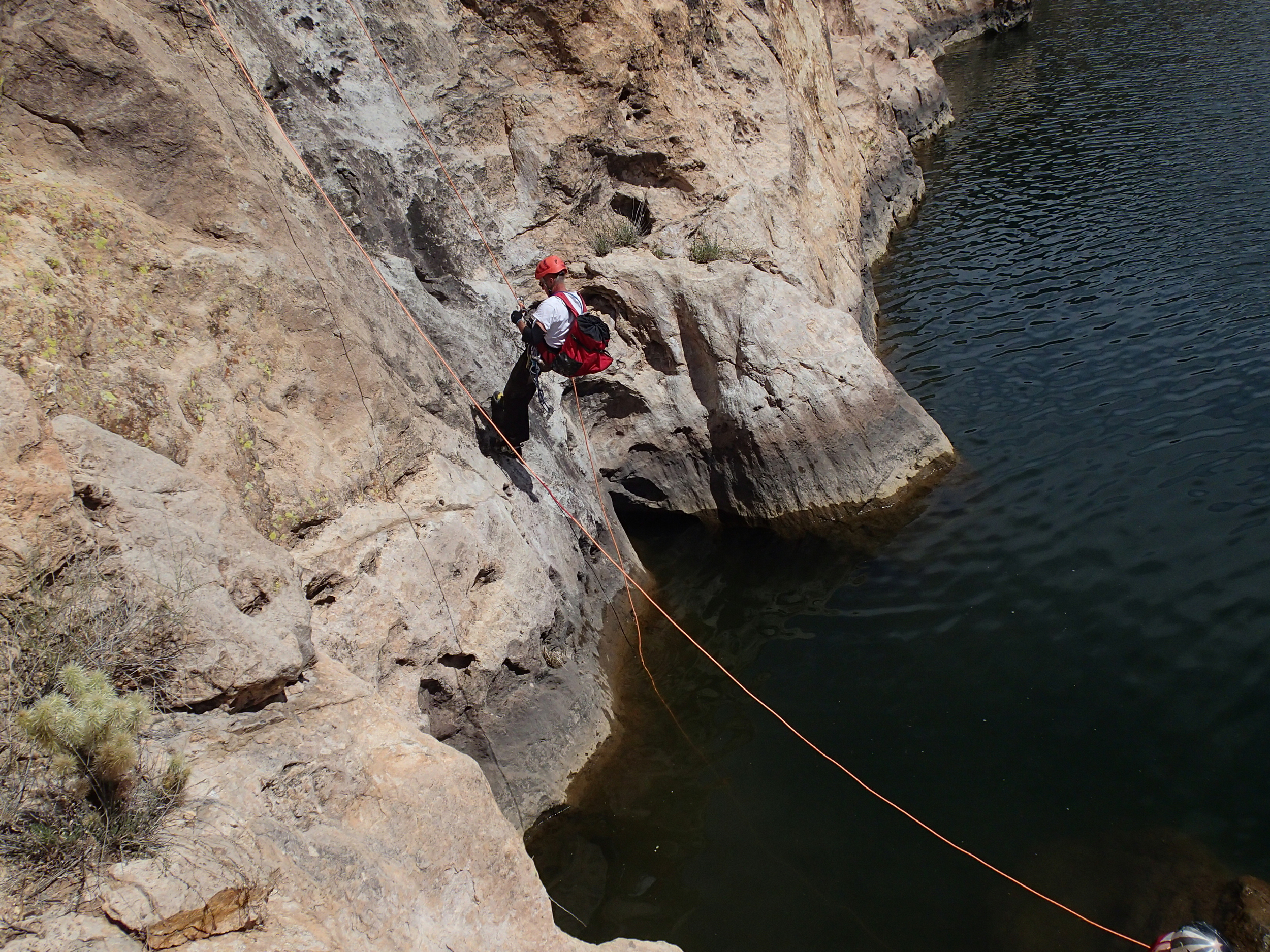
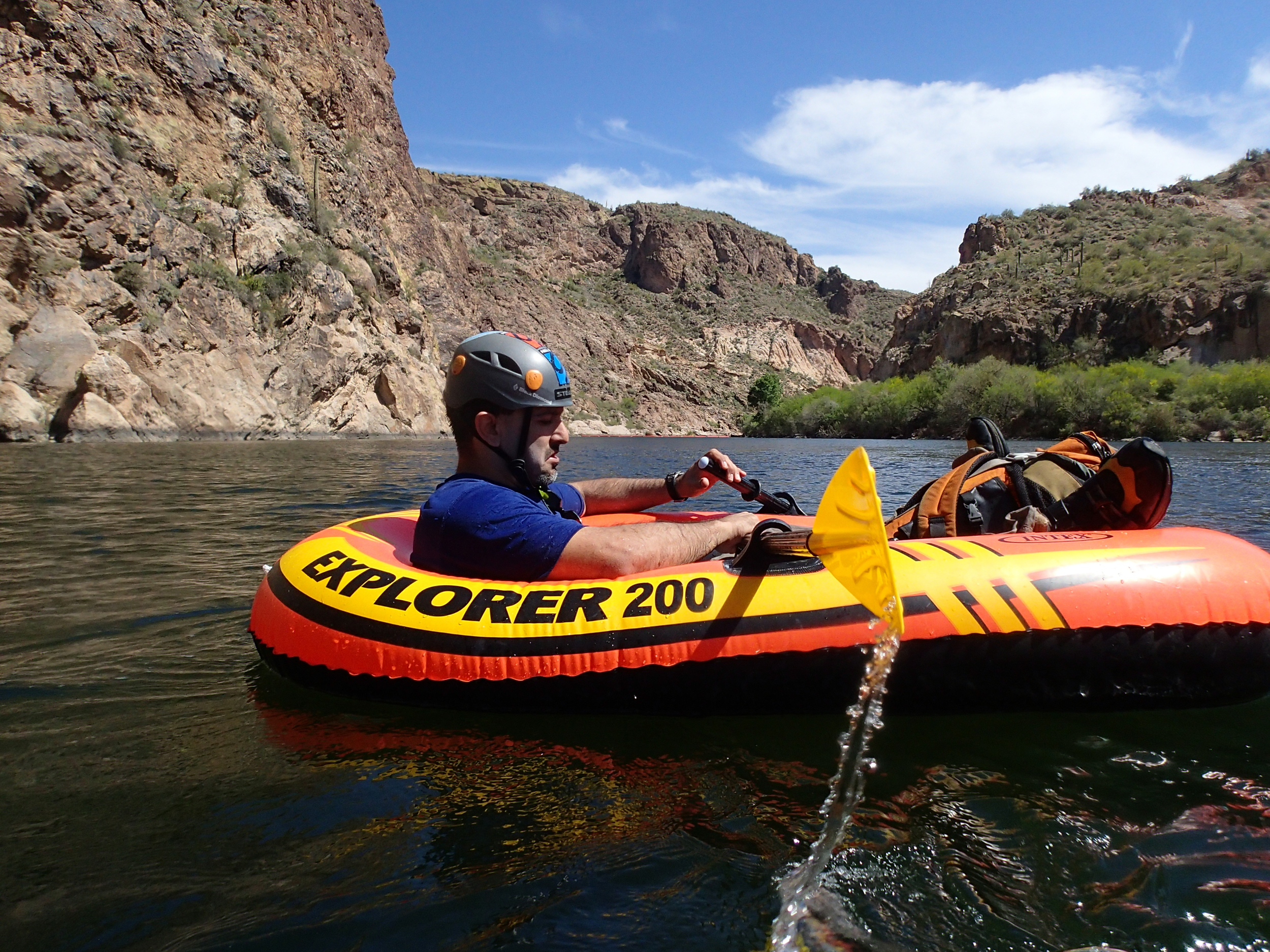
Splash Down Canyon is a short day out at the lake that has four drops, the final one being the main attraction, a 140' rap down a chute that drops you directly into Saguaro Lake (Splash Down). Parking for this route is found down the road leading to the Mormon Flat Dam just prior to the gate that blocks access. It seem to me there are several ways to approach this canyon depending on preference. Float across the lake, swim across the lake, stash a pack raft in the bushes for retrieval afterwards, carry a pack raft through the canyon - choose your own adventure. Parking can be obtained in two locations, our group chose to park down the road at the location marked Parking 1 on the map below, this short road can require high clearance to reach the end. The second option is labeled as Parking 2 and is a well maintained road that can easily be reached by any type of vehicle (both parking locations are extremely close to one another and will not have a major impact on the trip regardless of what you decide. Our group parked at location 1 where a trail can be found leading down to the waters edge. Pack rafts were inflated and we landed ashore to stash our rafts and unnecessary gear in the bushes as close as possible to the final rappel. With gear stashed, some serious, but short bush whacking got us to the cliff face where an inclined band of rock was easily followed and with some slight exposure ascended to the top. Once at elevation, movement was easy and we quickly cut into the drainage just above what appeared on maps to be the technical section. Working down canyon, we soon found the canyon closing in and shortly we were at the first rappel, a 15' drop into shallow water. The second drop followed the first and again was roughly 15' into a pool that had potential to be a swimmer, but staying canyon left appeared shallow and kept our heads dry. Drop three turned out to be around 50' and had two distinct levels and lands you on a sandy patch at the base. Once down this drop you will find yourself looking over the edge directly into Saguaro lake. This final drop was around 140' and has you working down a a fairly smooth chute where it dumps you into a deep section of lake water. On canyon right a rock band was easy to climb onto and made for a easy spot to pull rope out of the water. Depending on how you explored your canyon will determine your action from here. With our boats stashed on shore, it was a quick swim over to the bushes where we were then able to load up and float back across. Pay attention to the current in this area, when the Dam is releasing water, the current can easily pull you a little further down stream than you were expecting to go. The route we took out was up a trail that can be seen directly across from the last rappel. It was a little longer than our entry route, but not as steep. Perhaps after a handful more trips to the area a preference on entry and exit will start to form.
Trip Photos

Interactive Topographical Map

GPS Download

Printable Map