

Devil's Tail Canyon, AZ
Location: Arizona, Sierra Anchas Wilderness
Rating: 3B-III
Longest Rappel: ≈ 180'
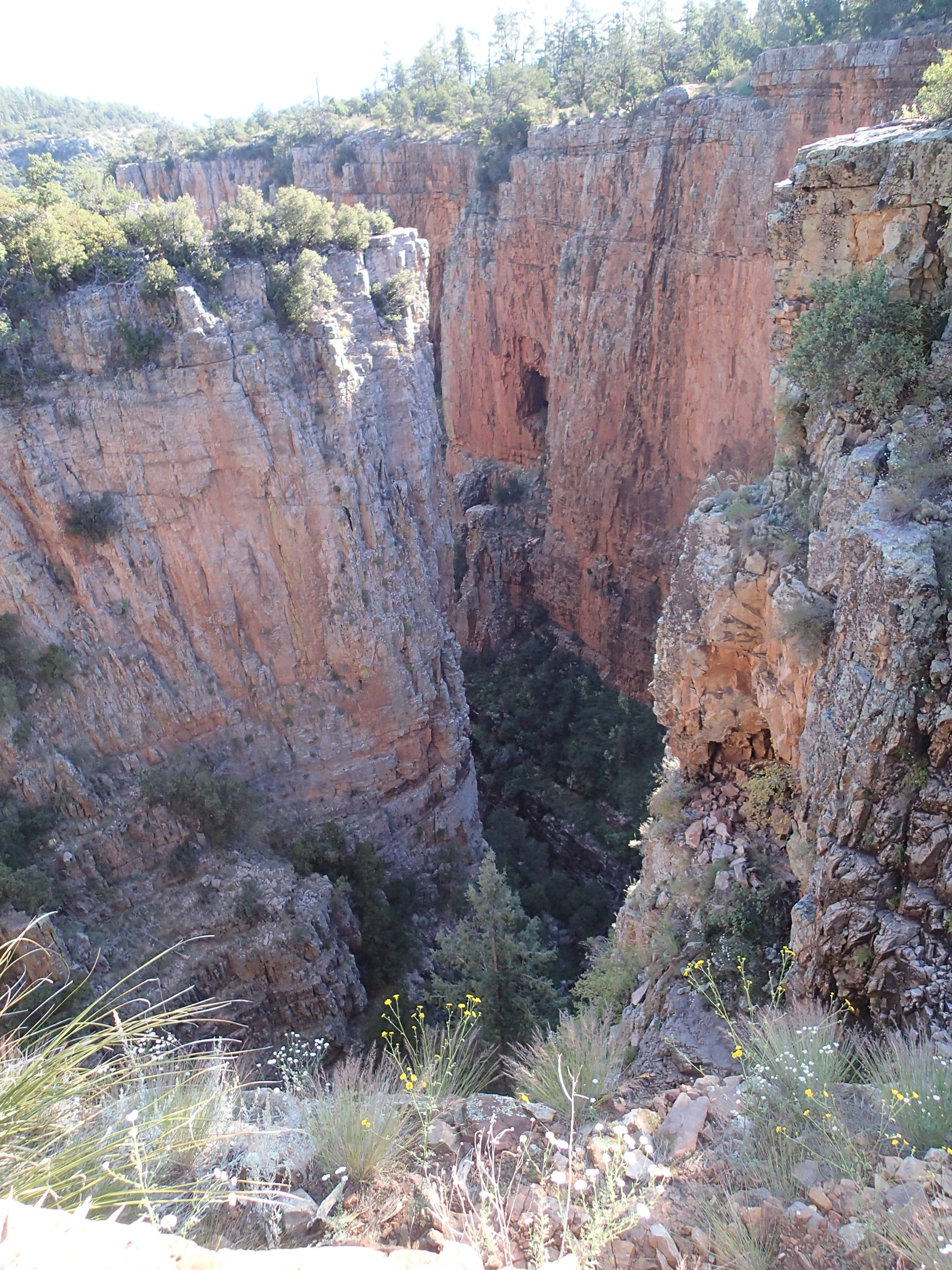
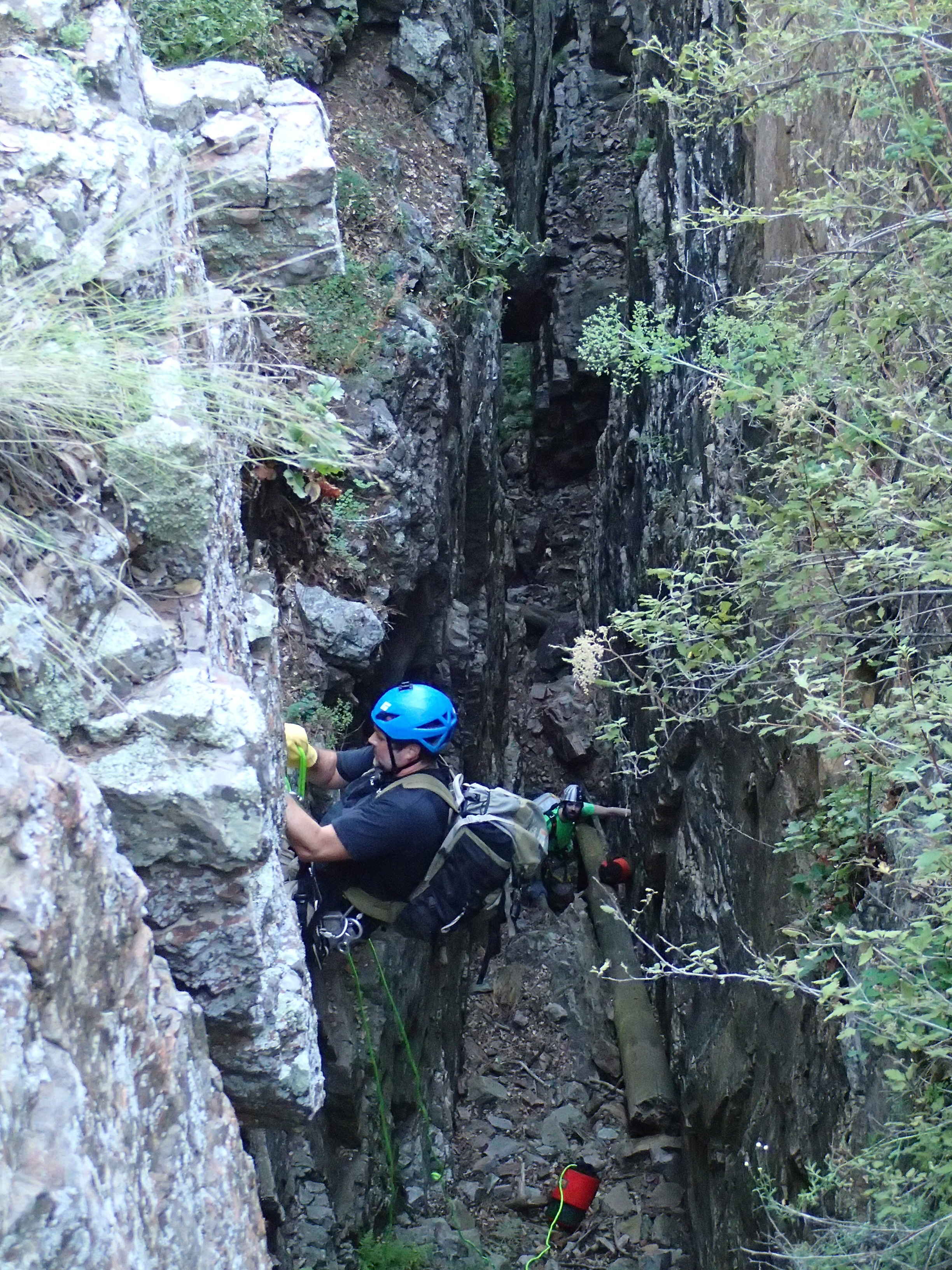
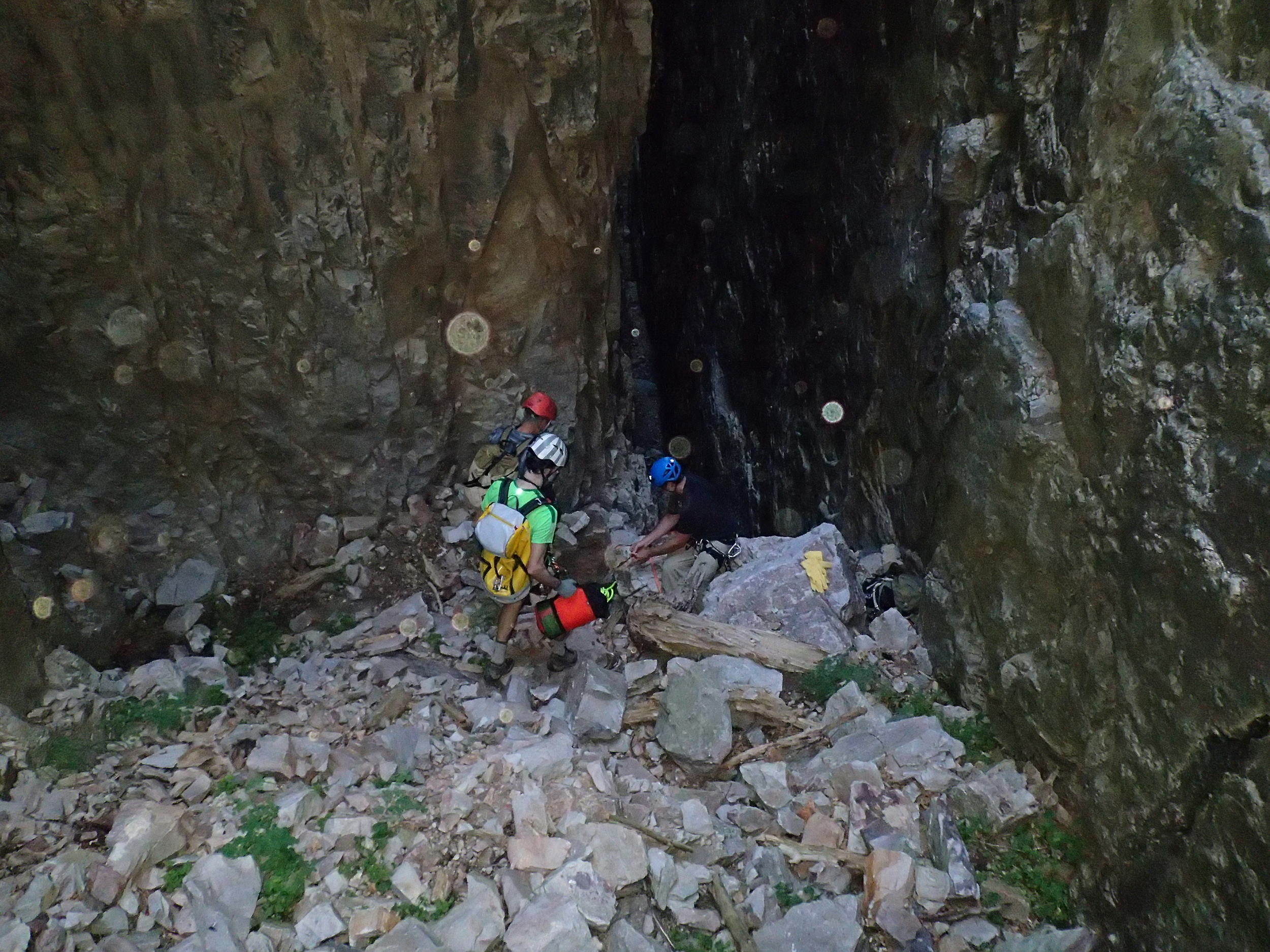
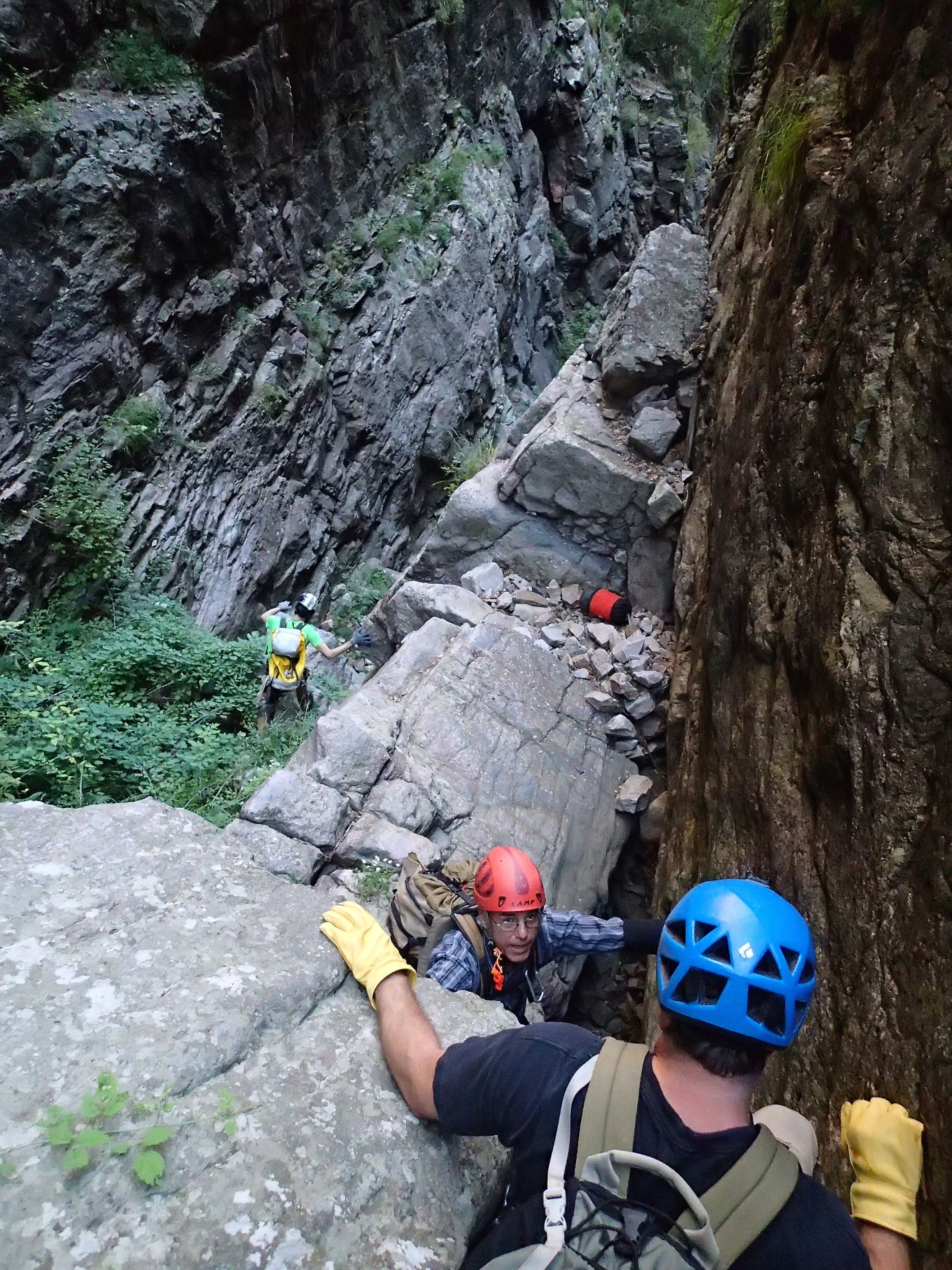
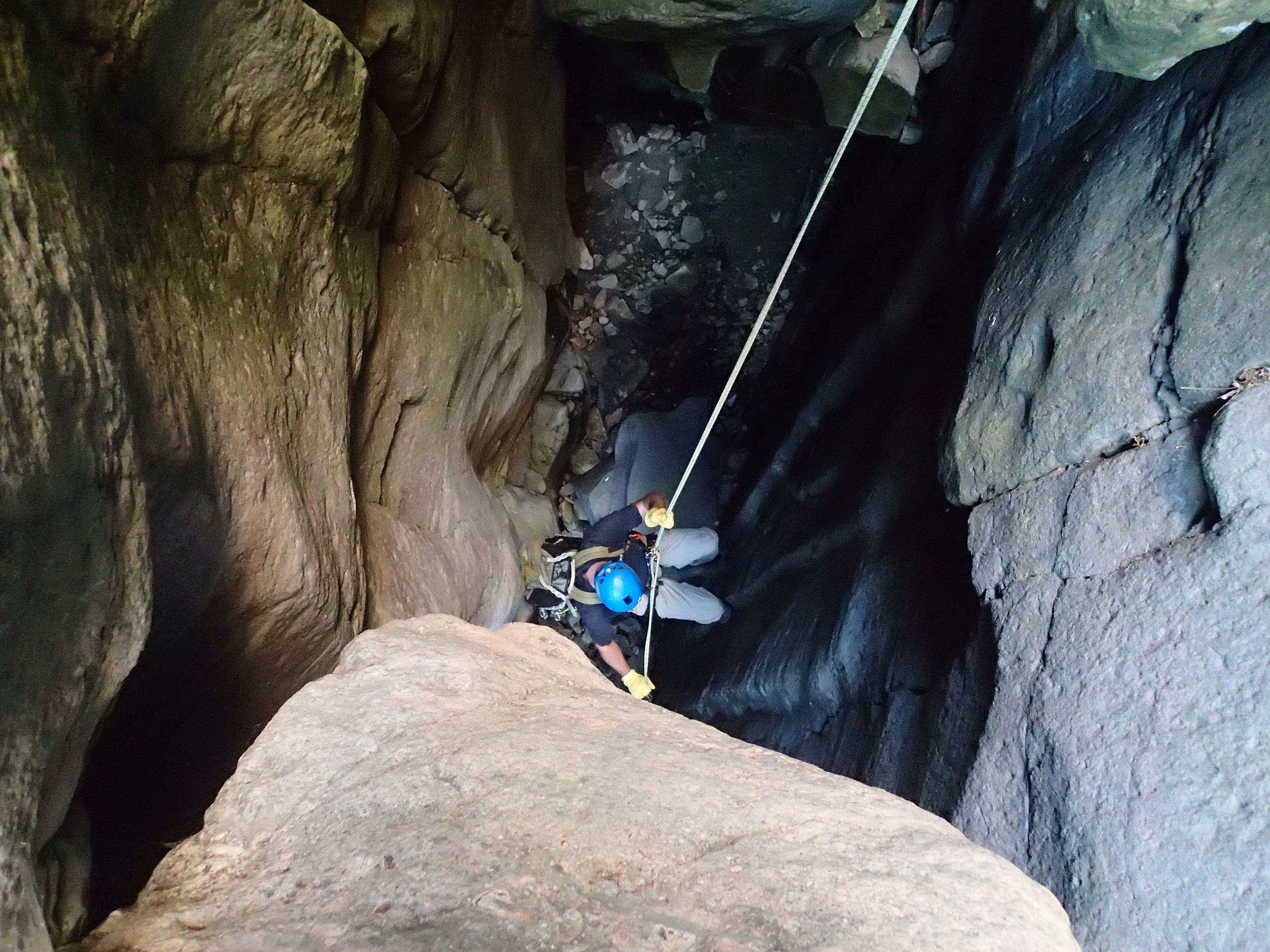
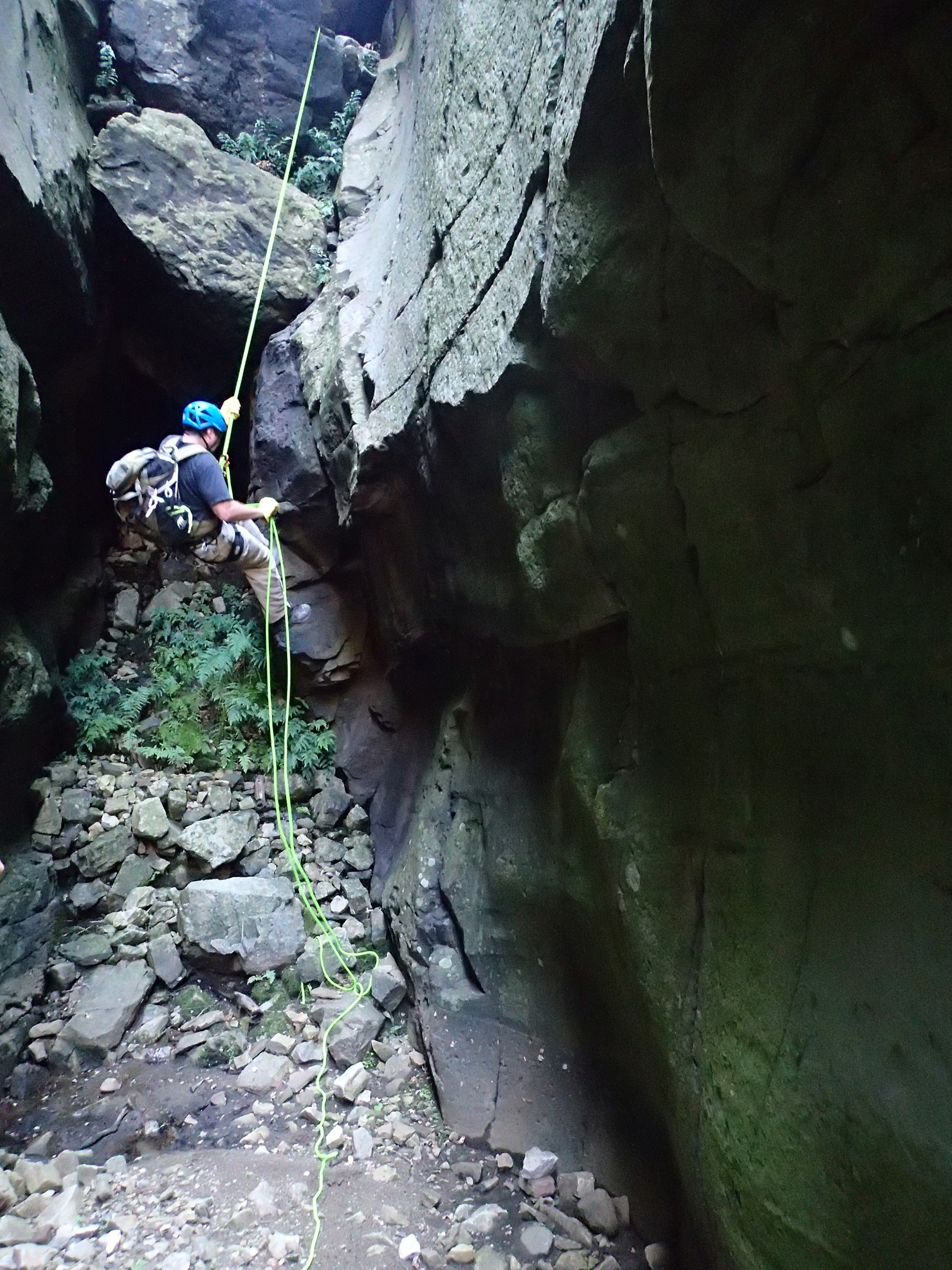
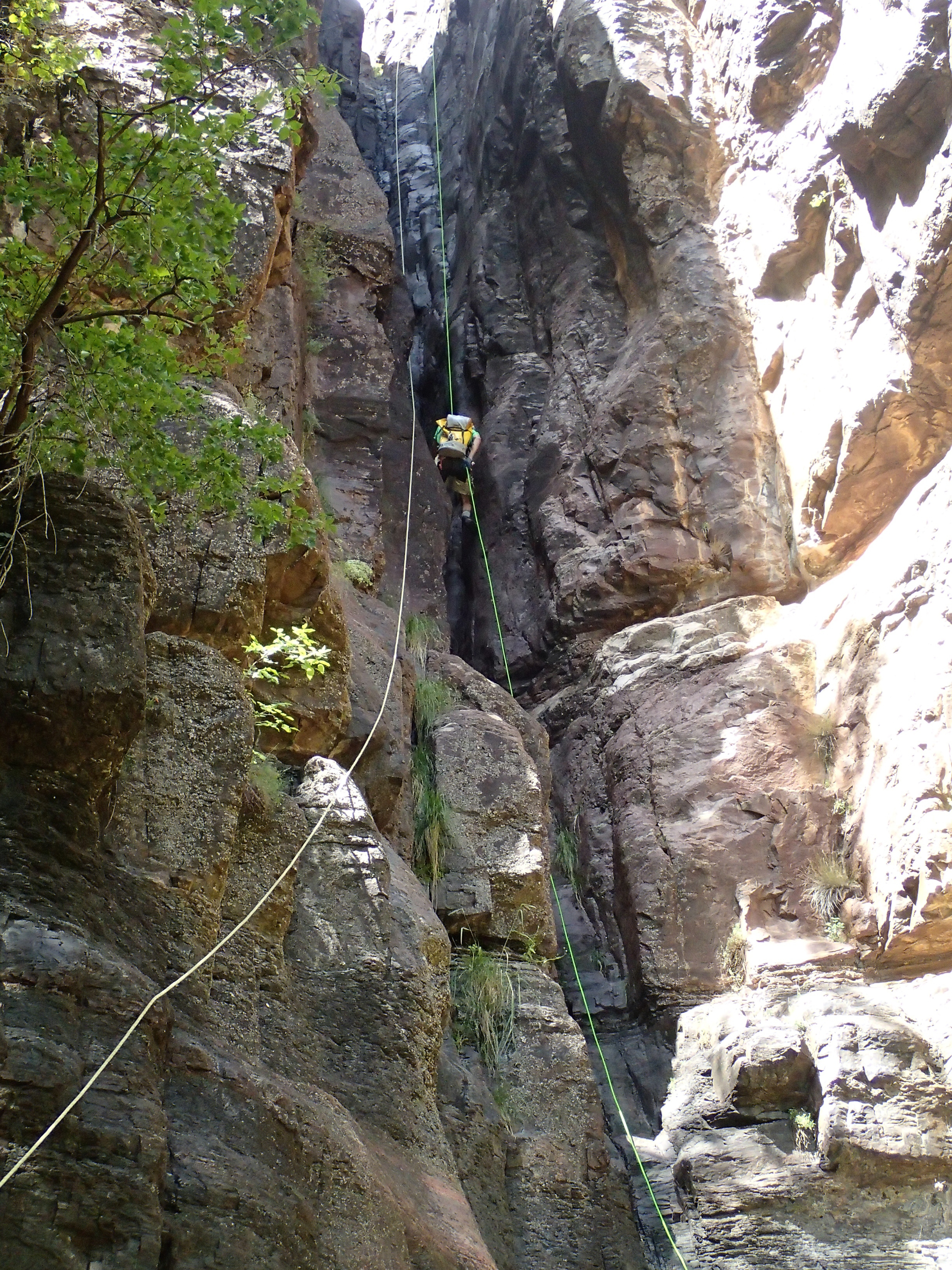
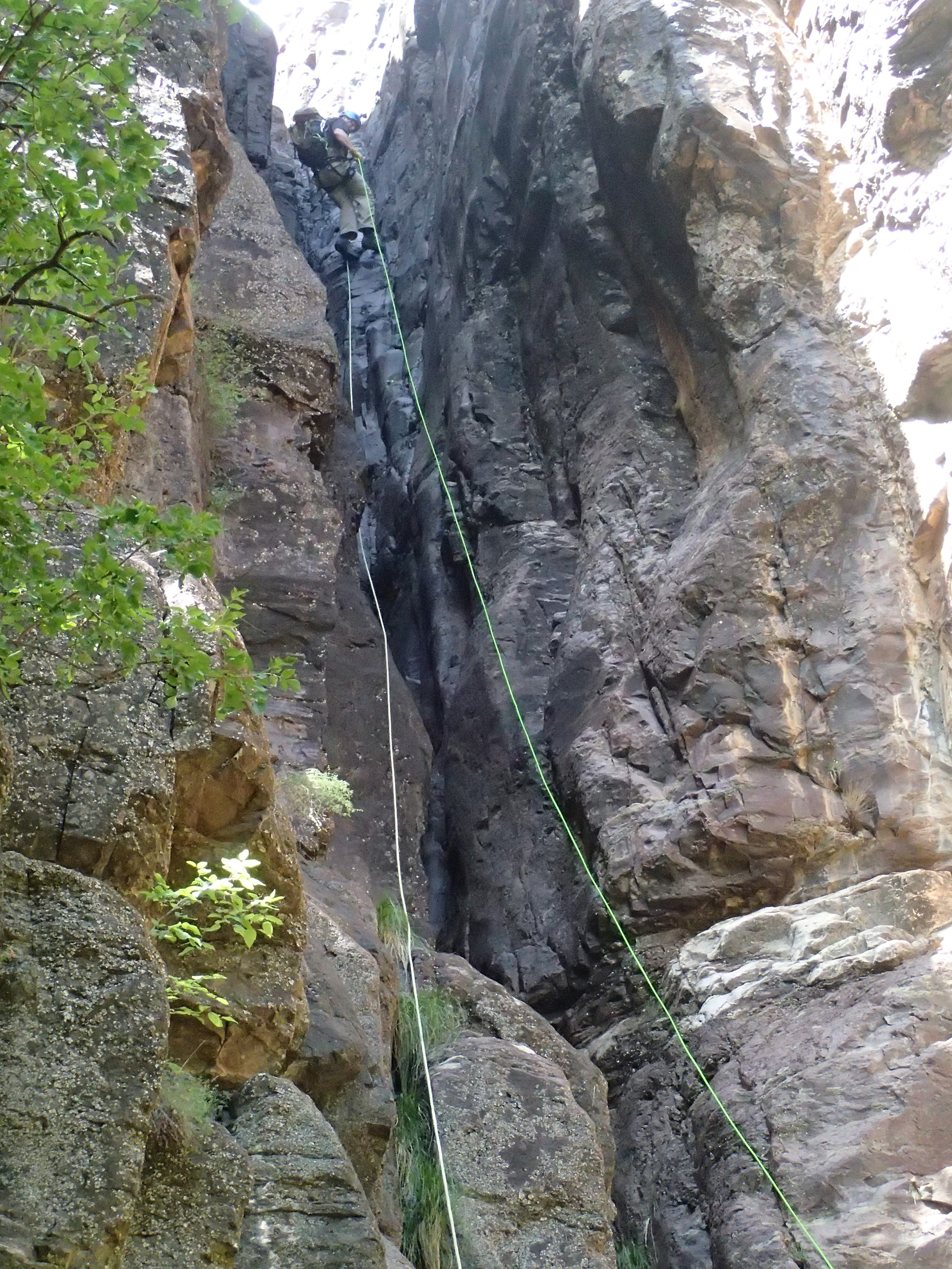
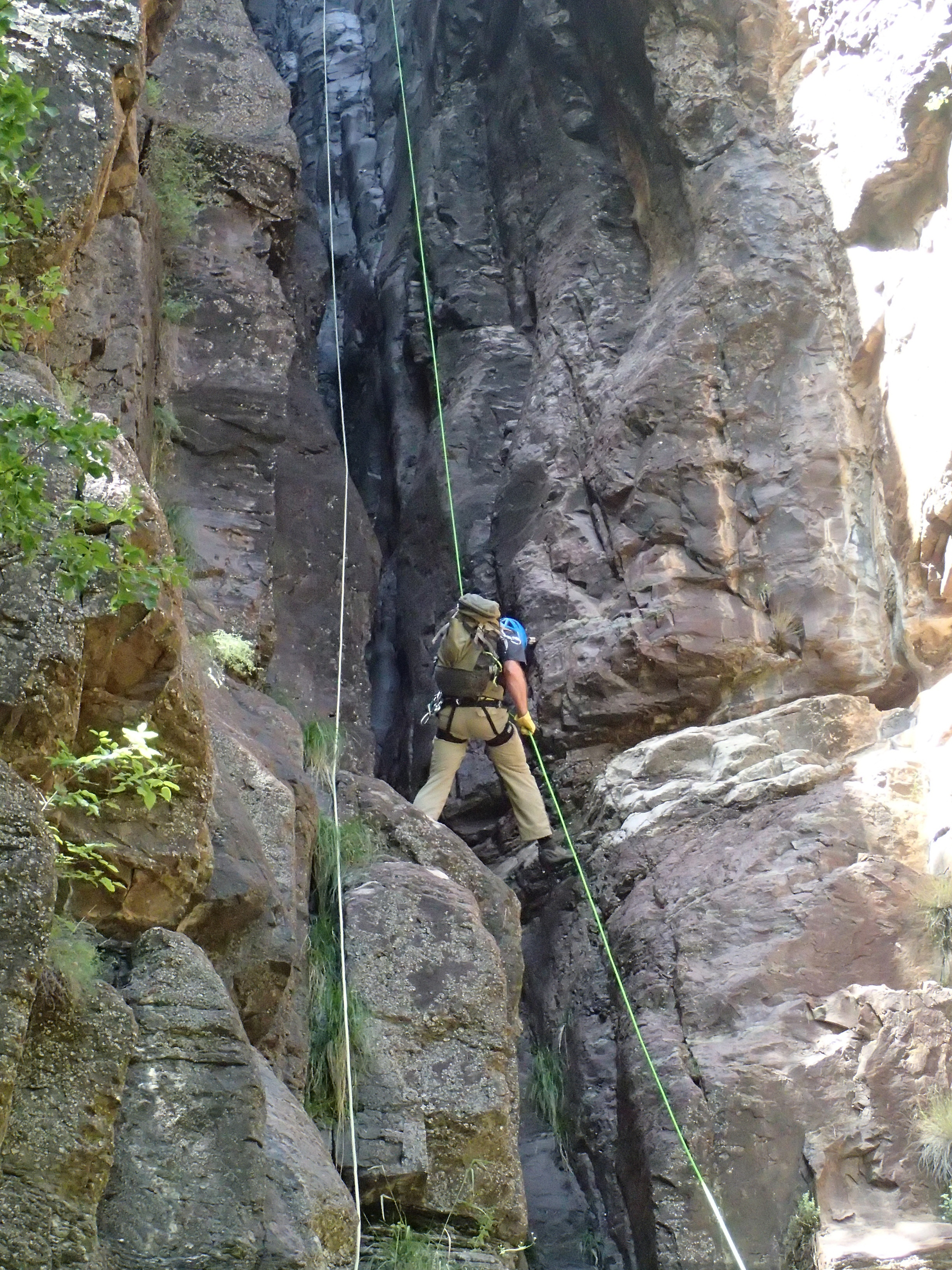
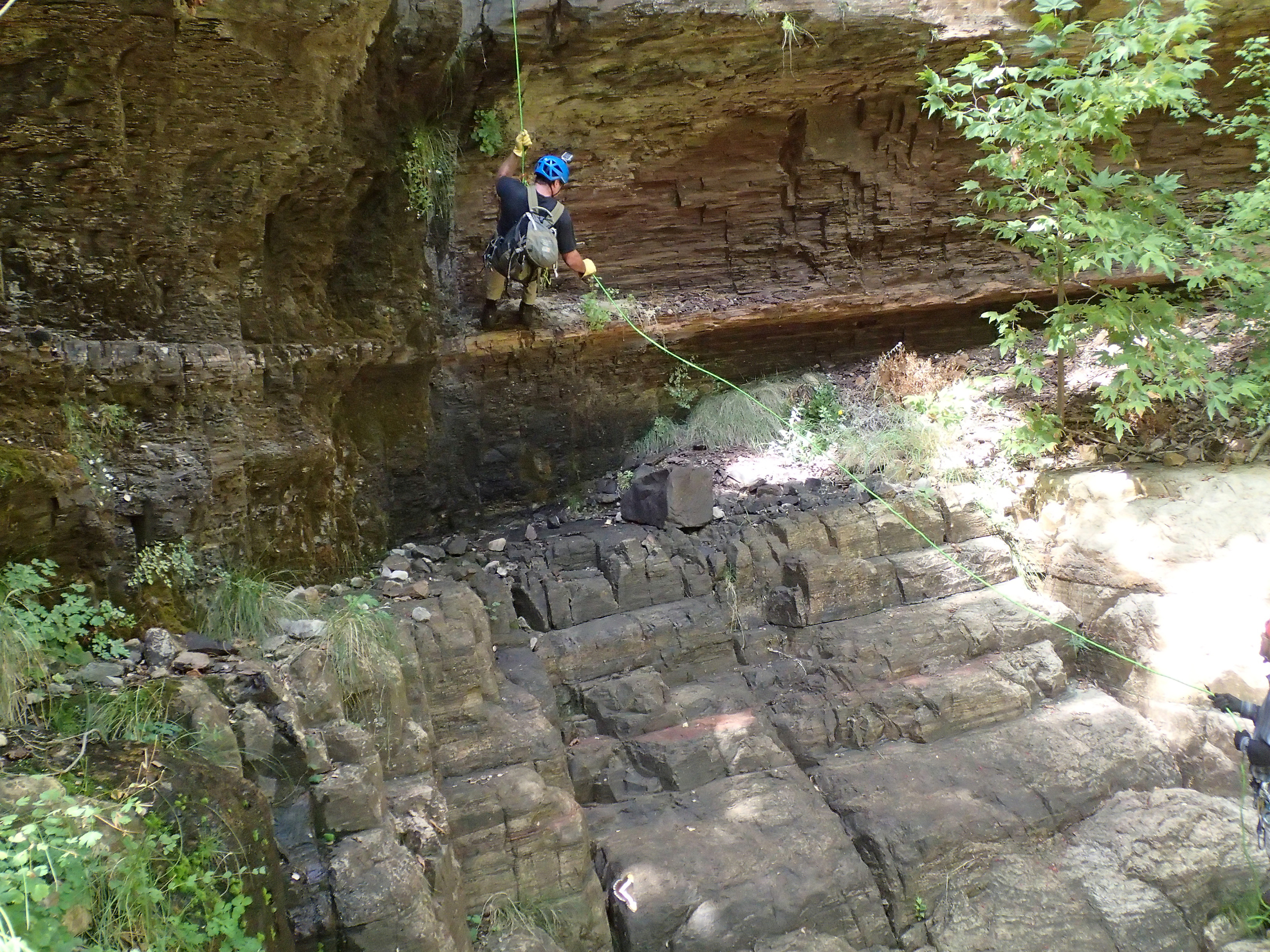
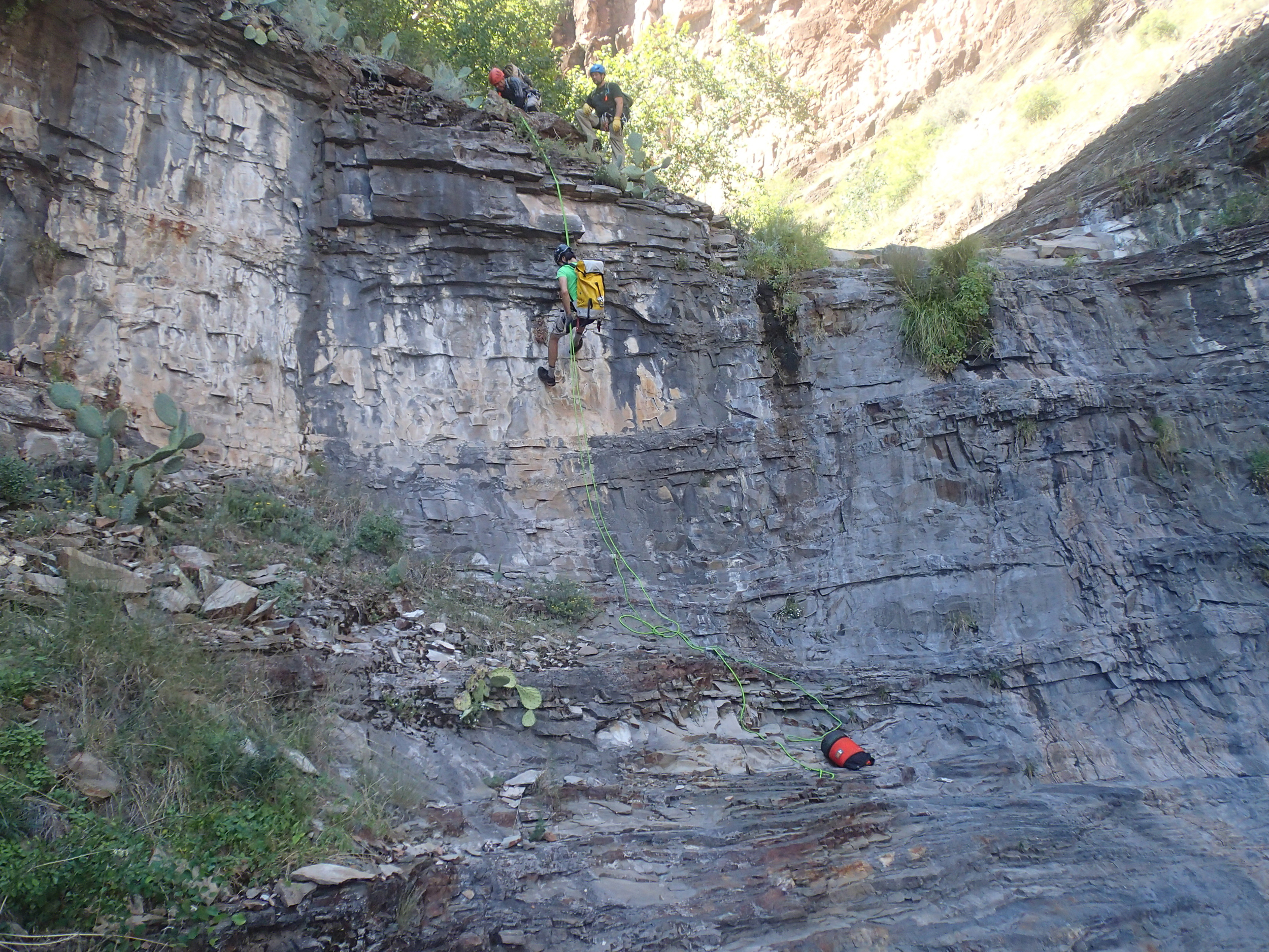
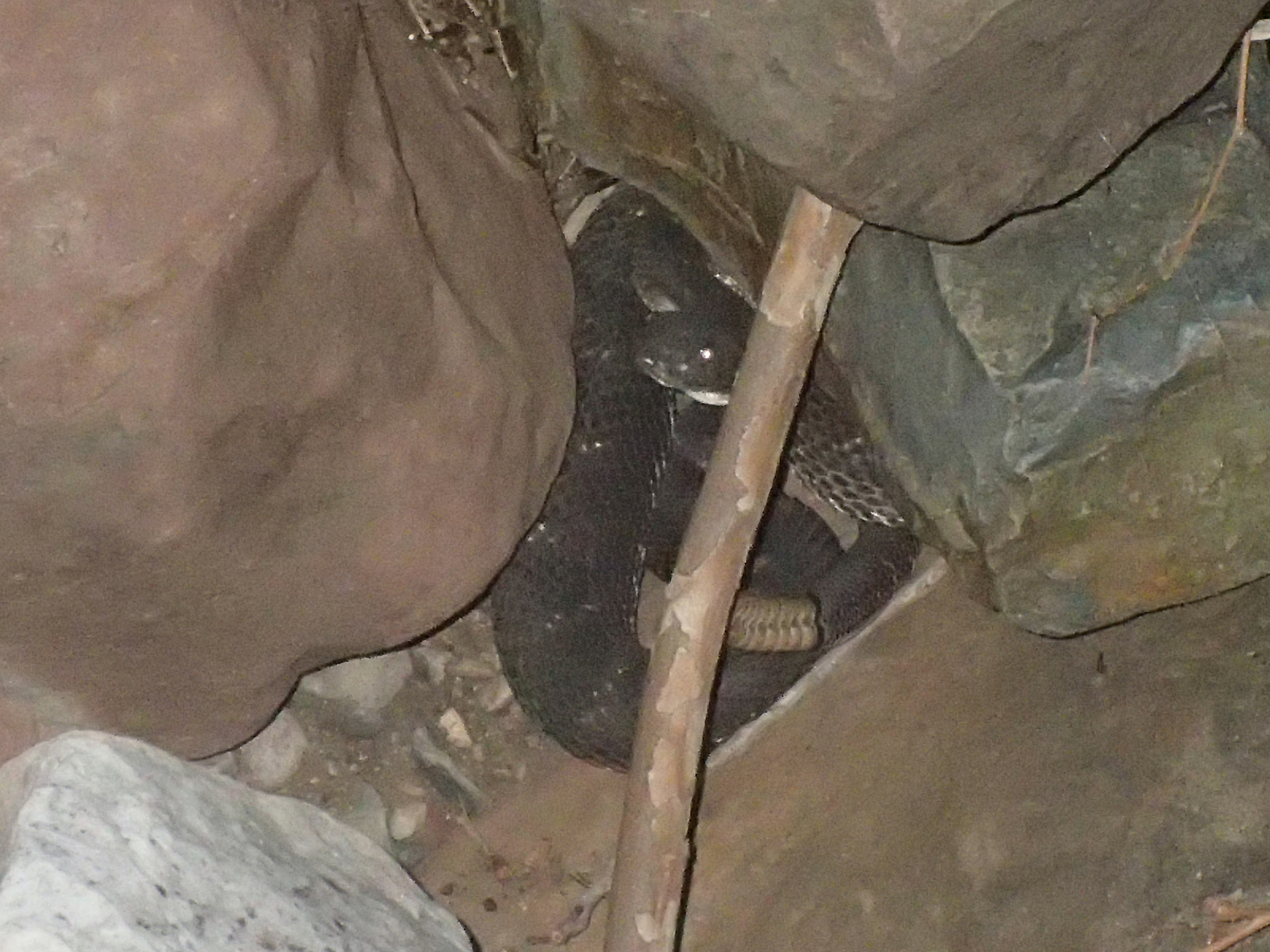
Devil's Tail is what our group had been using as a name for an exploratory canyon we had been looking at in a remote area in the Sierra Anchas Wilderness. The name seemed fitting due to the canyons close proximity to Devil's Chasm, along with the long crack or tail like feature used to gain access. While running Devil's Tail, do not expect to see others in the canyon and realize that any rescue will be a long way off and extremely difficult if needed. Keep your eyes and ears open for rattlesnakes, we encountered one big dark rattler that was not too happy about us surprising him. Our top down descent had us on rope during 14 different drops throughout the day. The largest was just under 180' down a nice little feature that tightens up and ends overhung, a handful approached the 100' mark, and the remainder were under 65'.
The trip is best completed with a shuttle driver as setting up a shuttle vehicle will require approximately 2.5 hours one way. As winter approaches, the Workman Creek road used for access is typically closed with snow or after December 15th. It may be advisable to check with the Pleasant Valley Tonto National Forest ranger station to make sure the road is open during the colder months. A high clearance vehicle would be advisable for both the road in and out as it can be rough in many places.
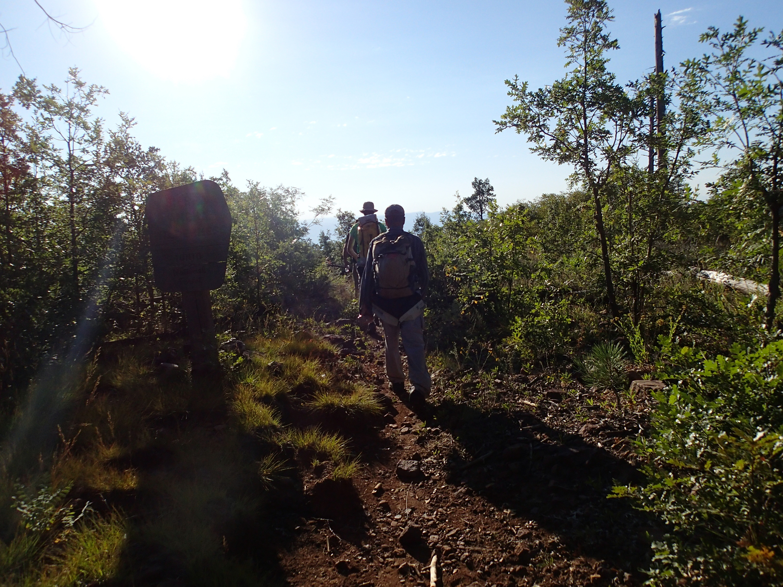
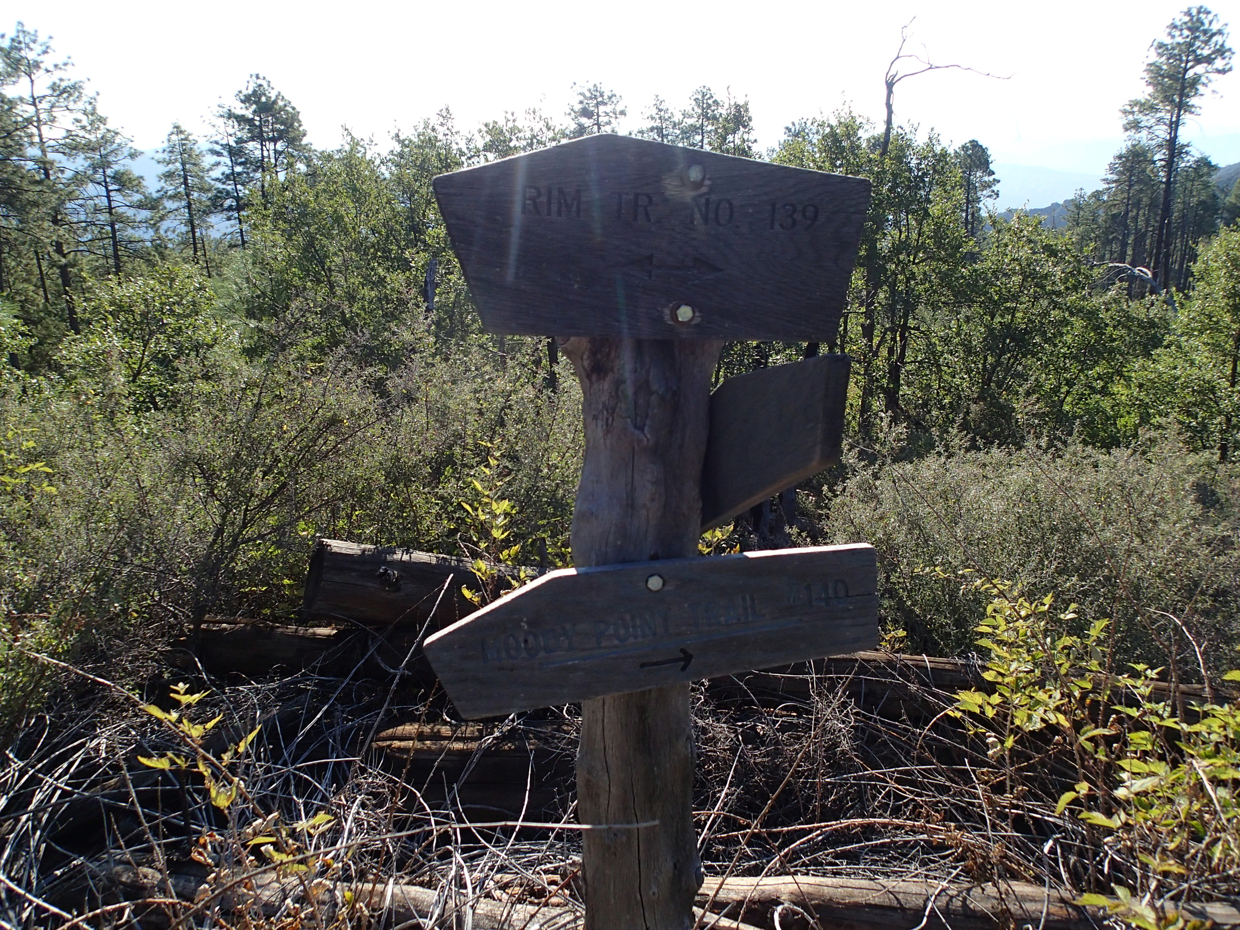
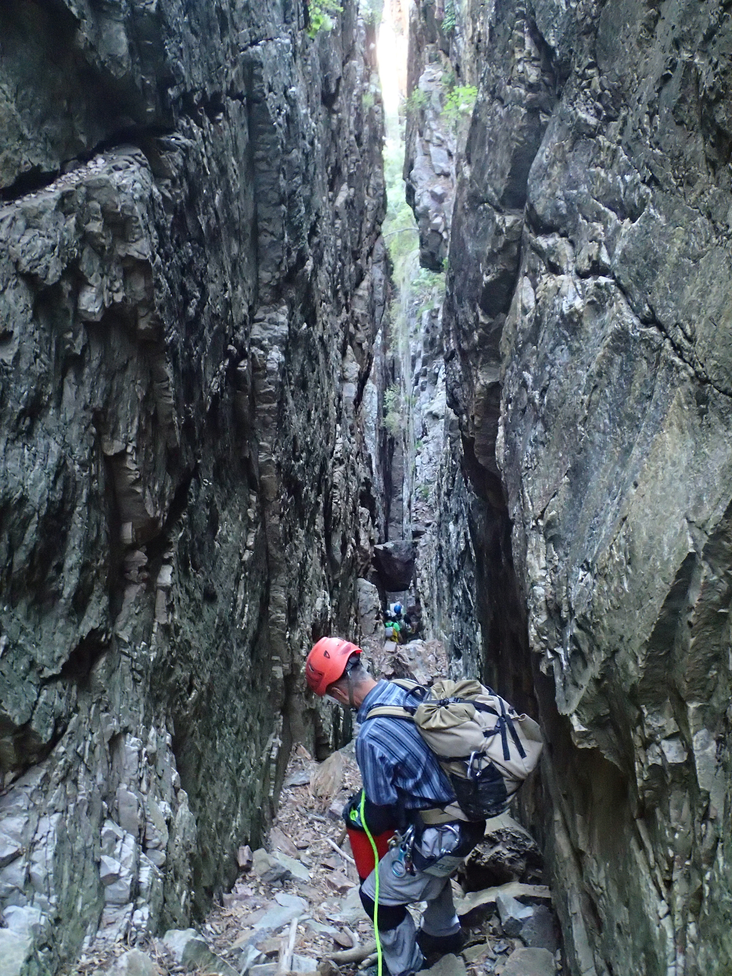
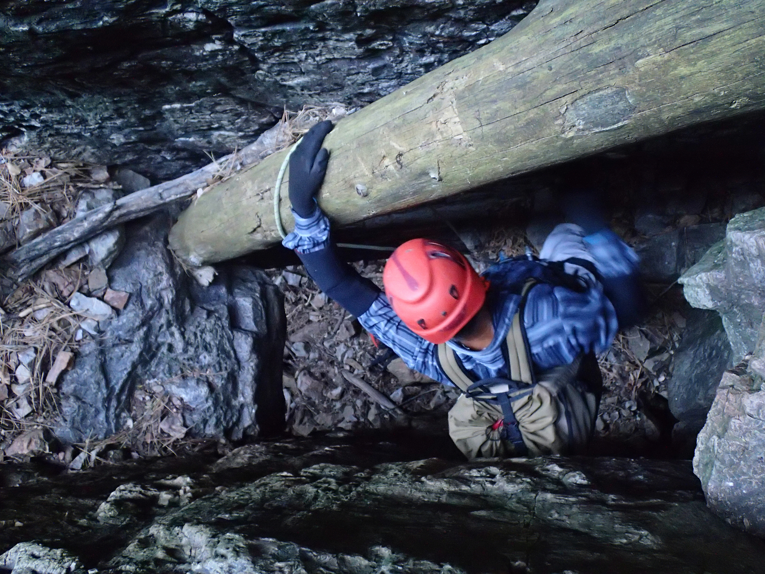
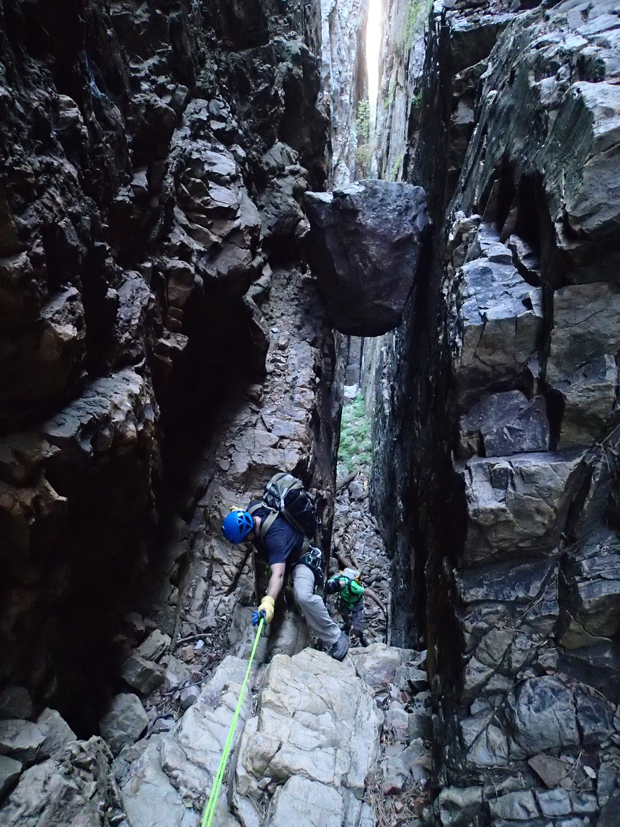
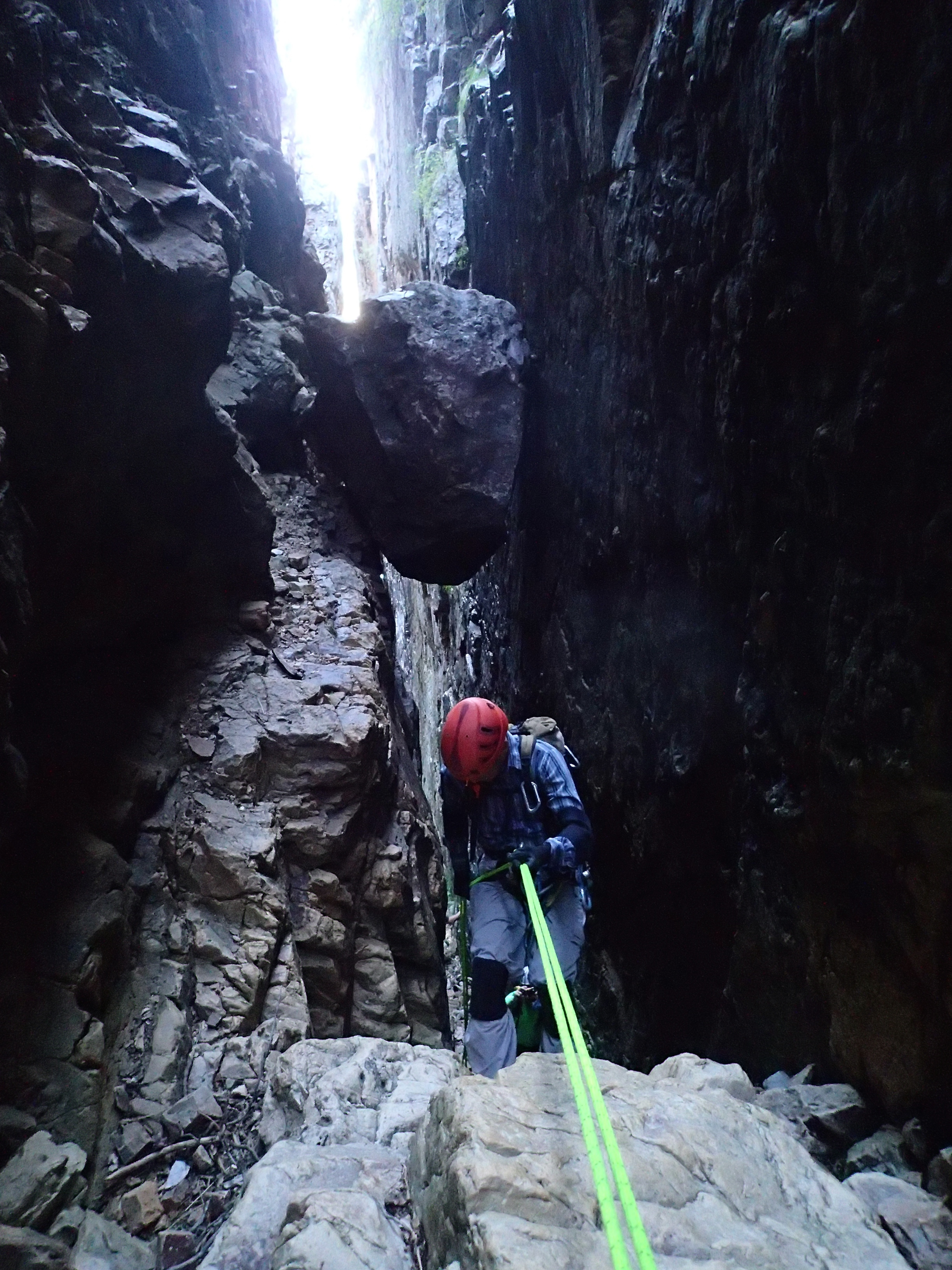
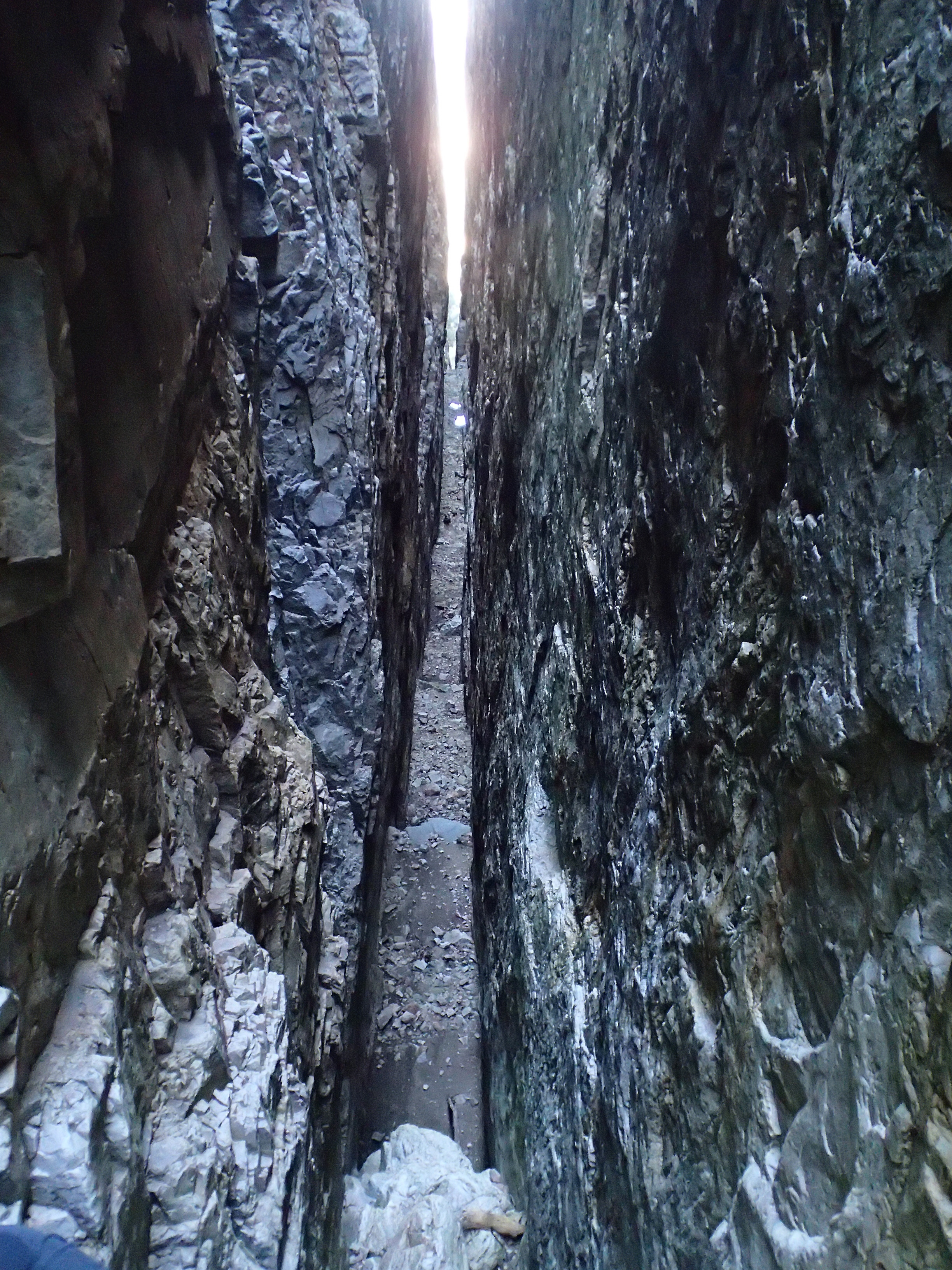
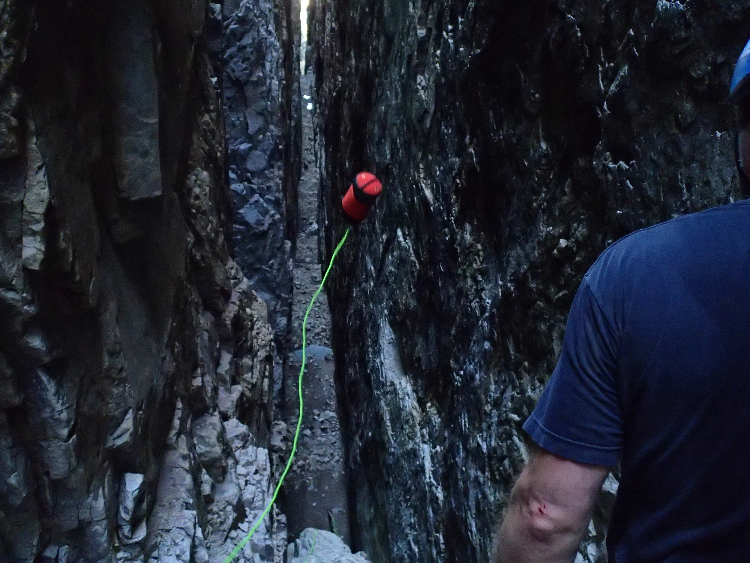
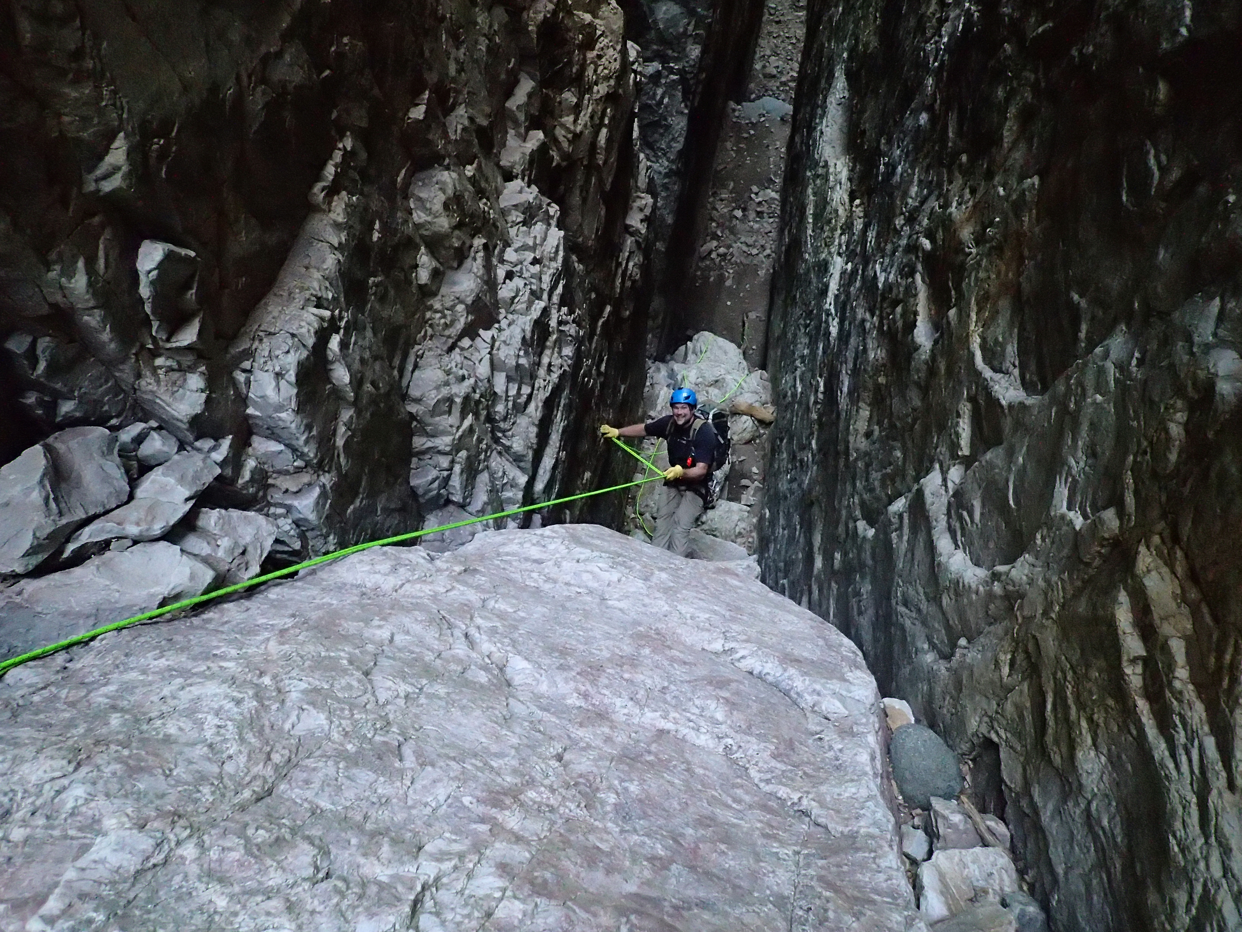
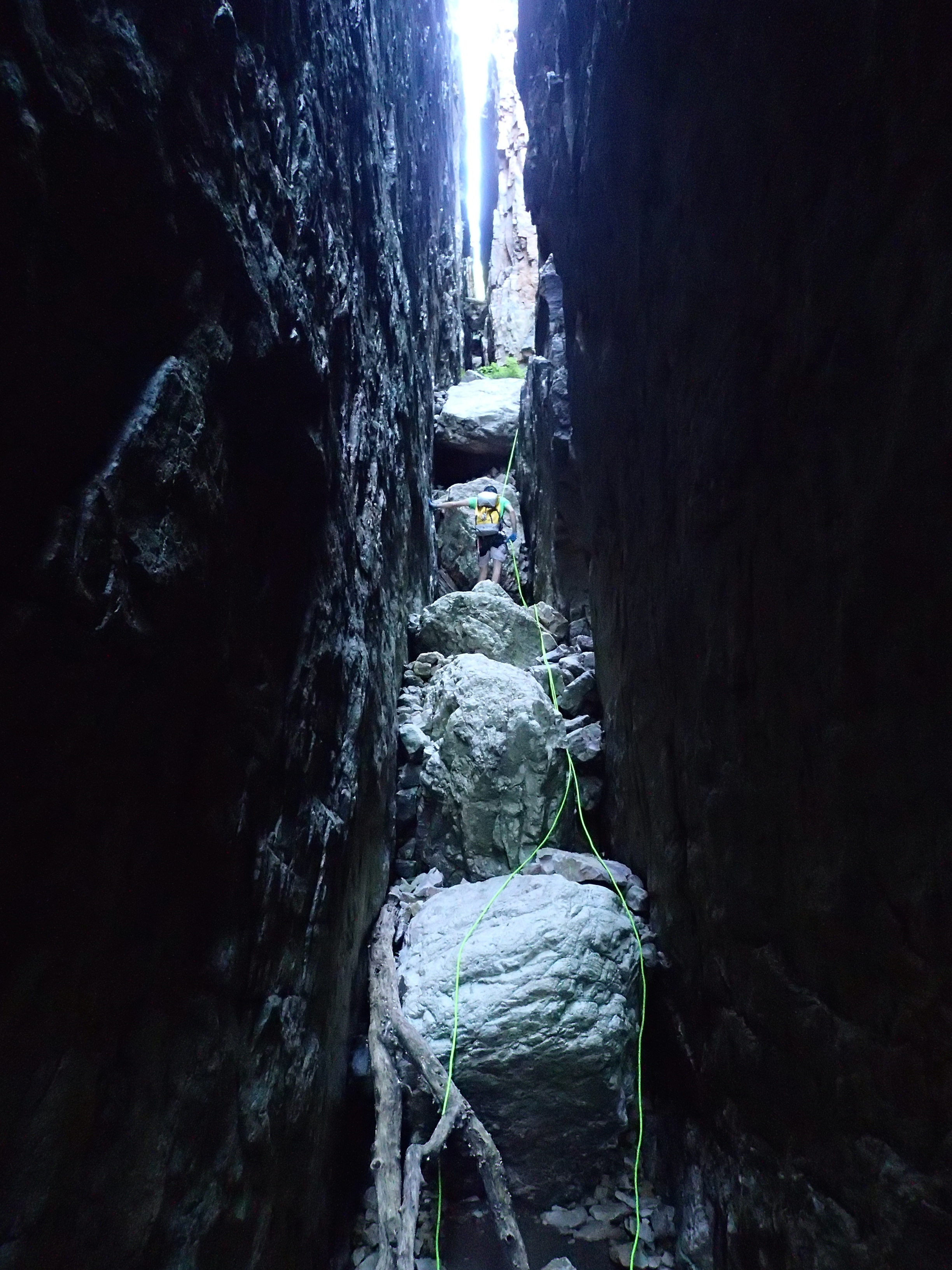
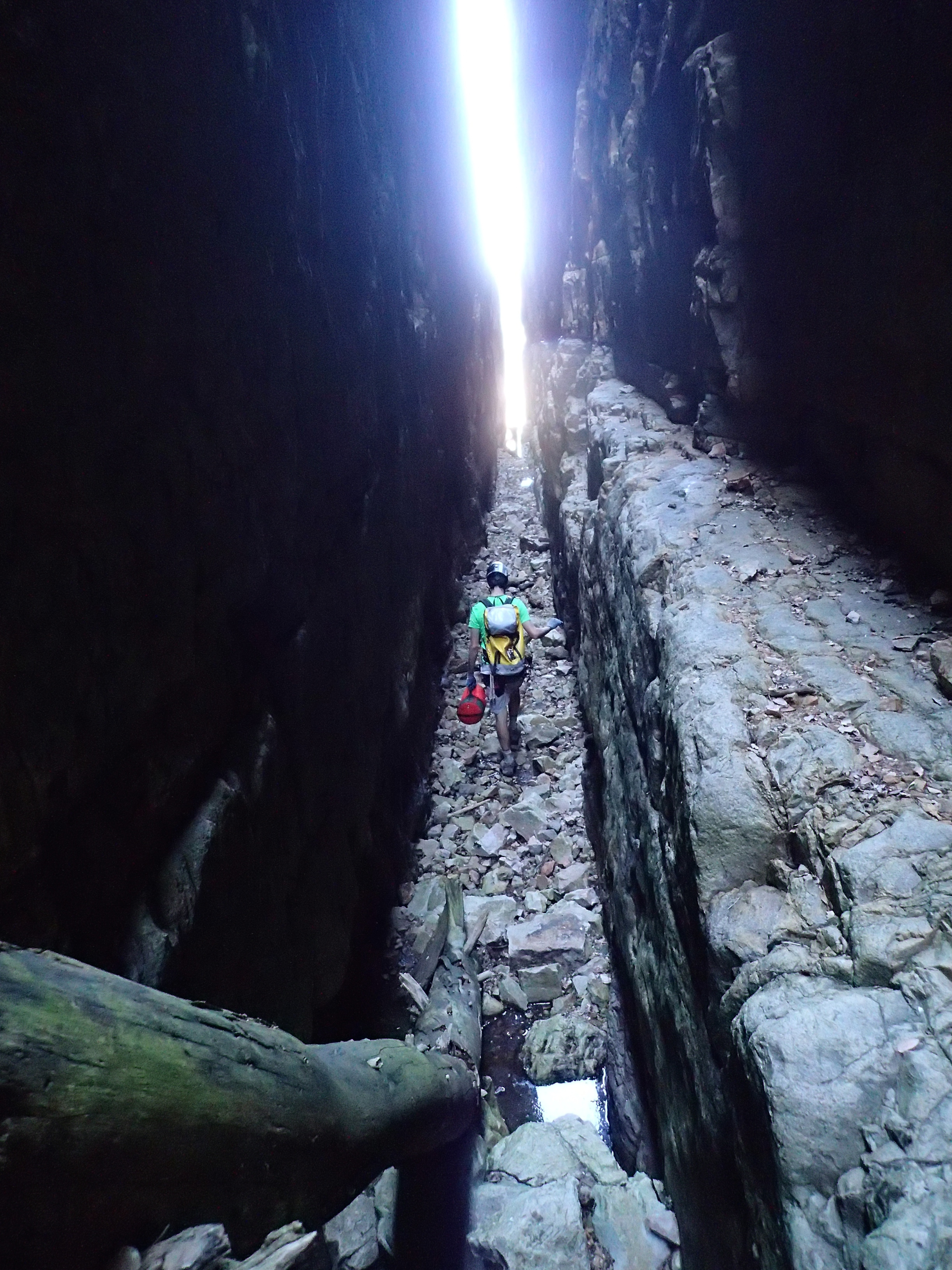
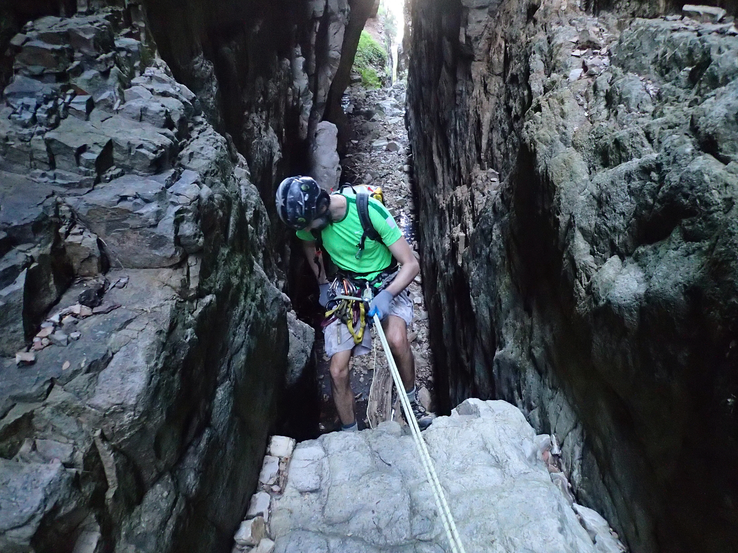
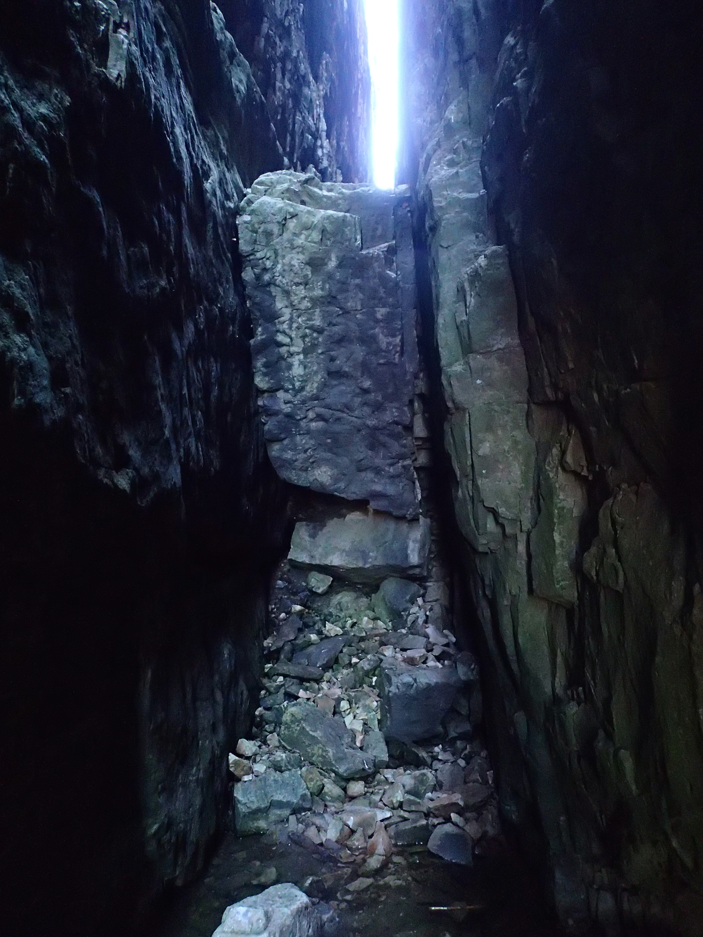
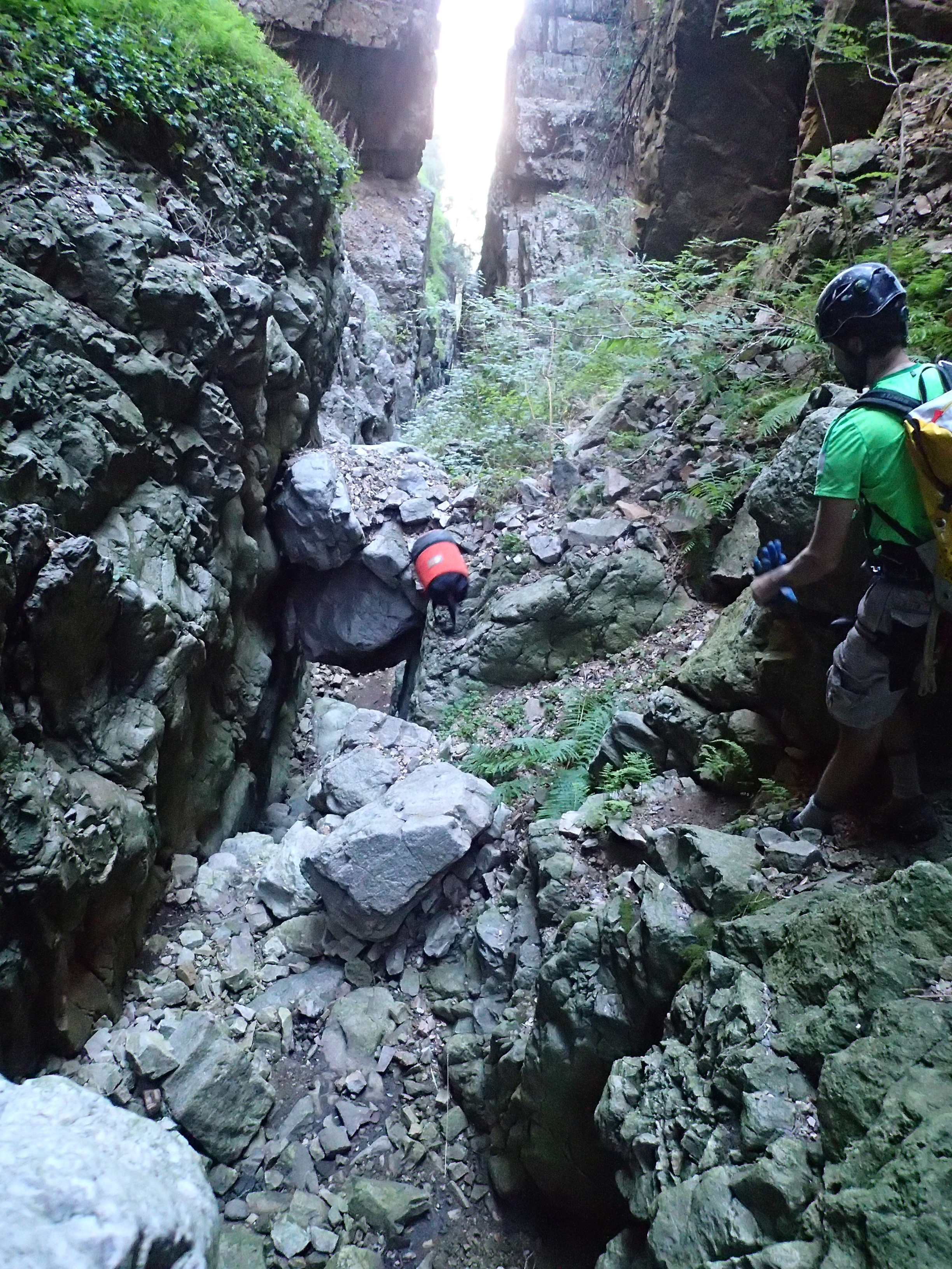
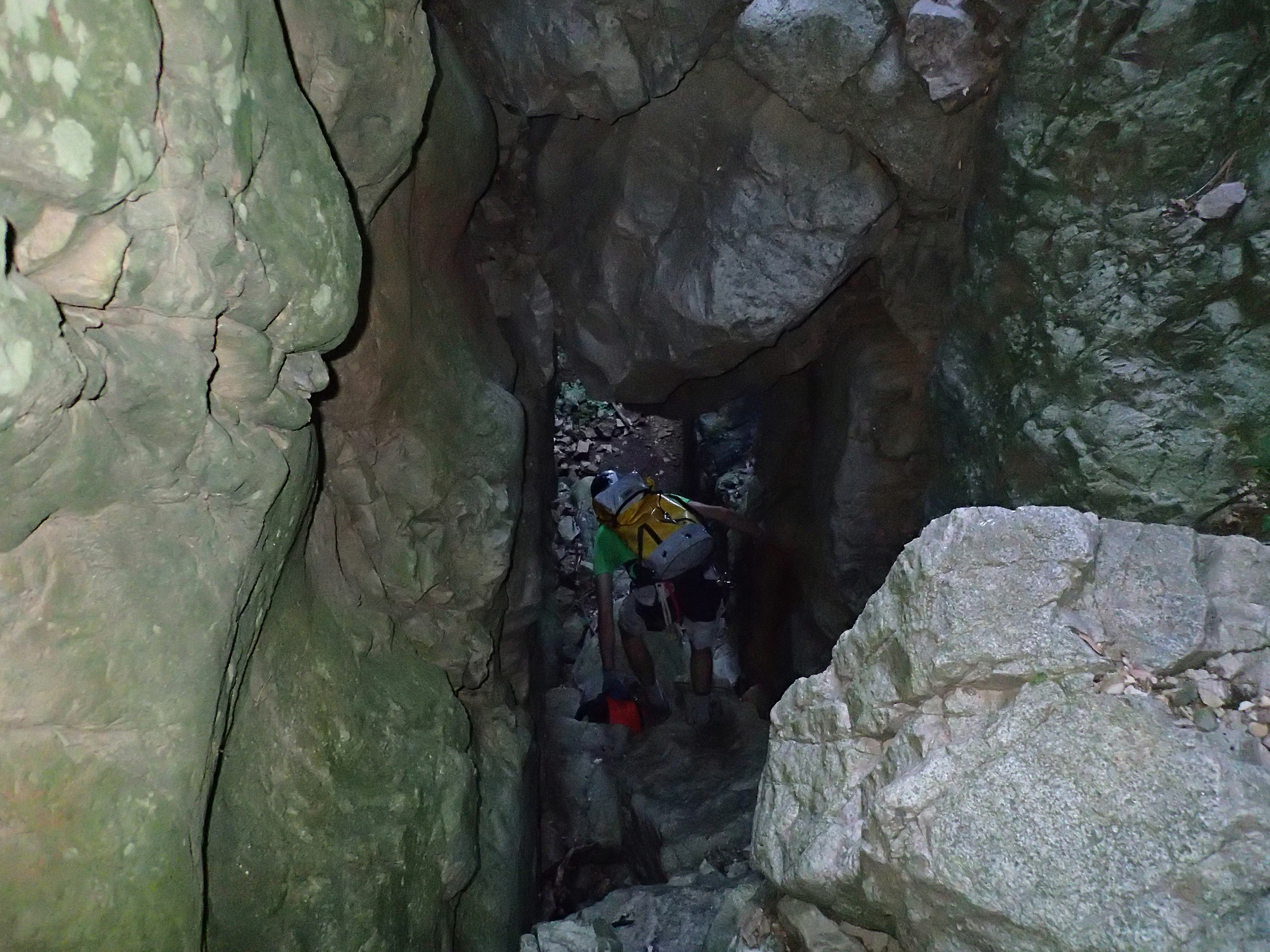
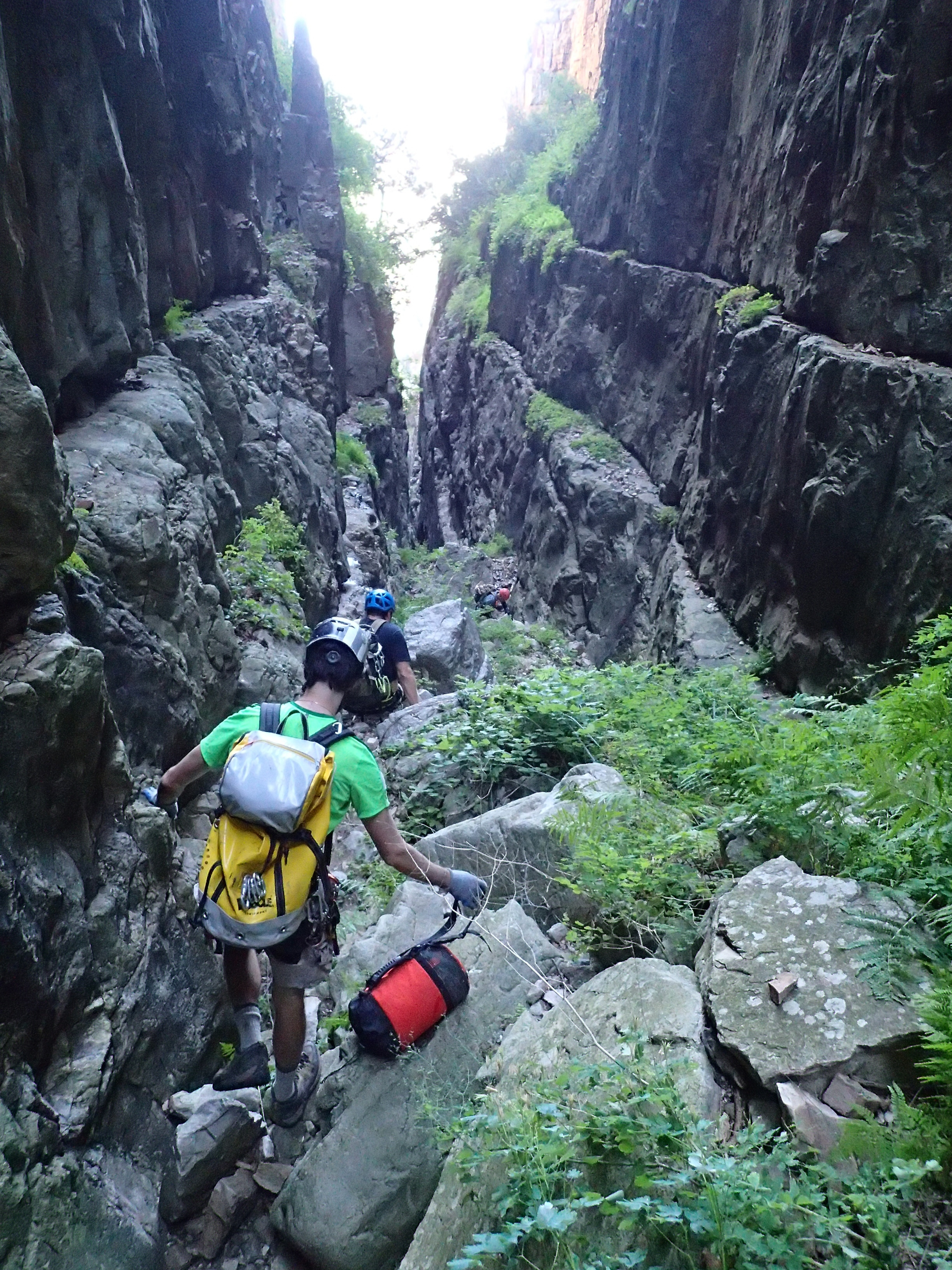
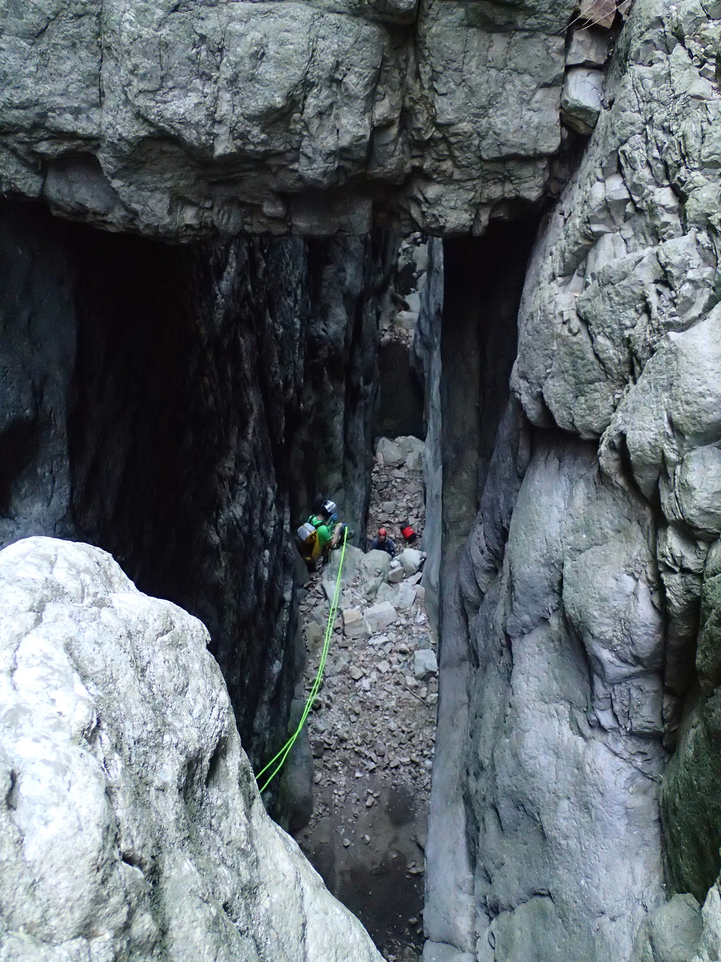
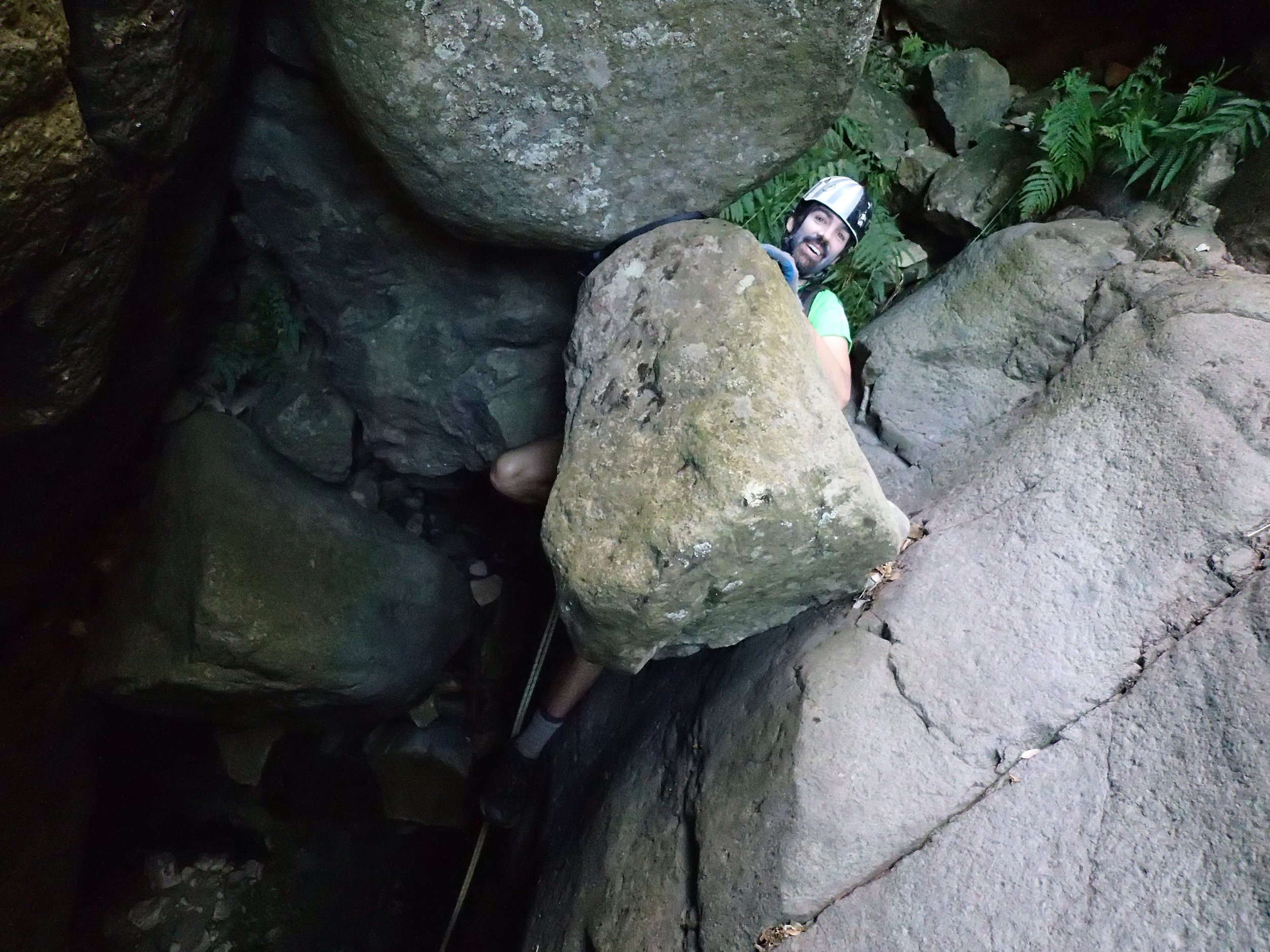
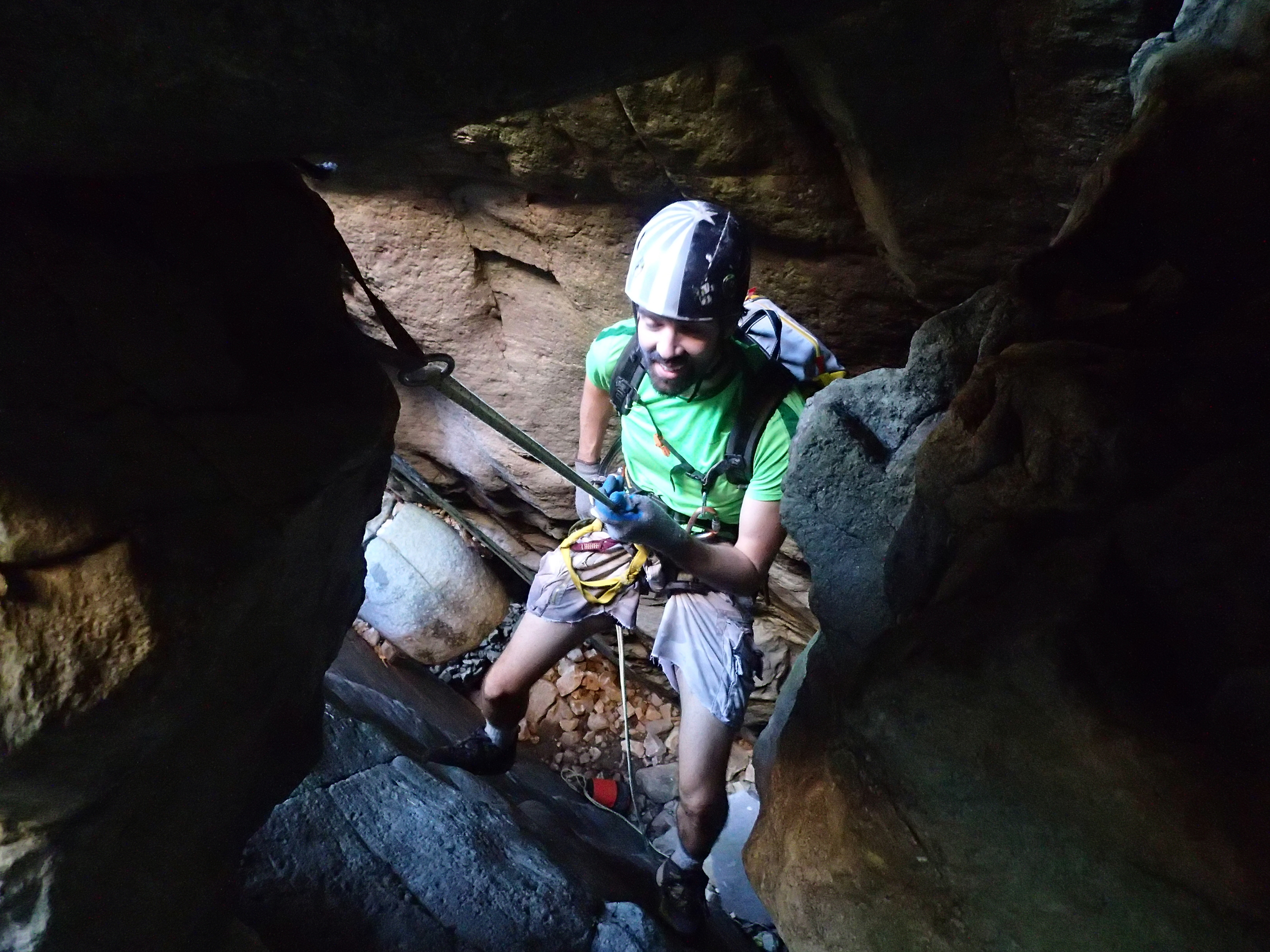
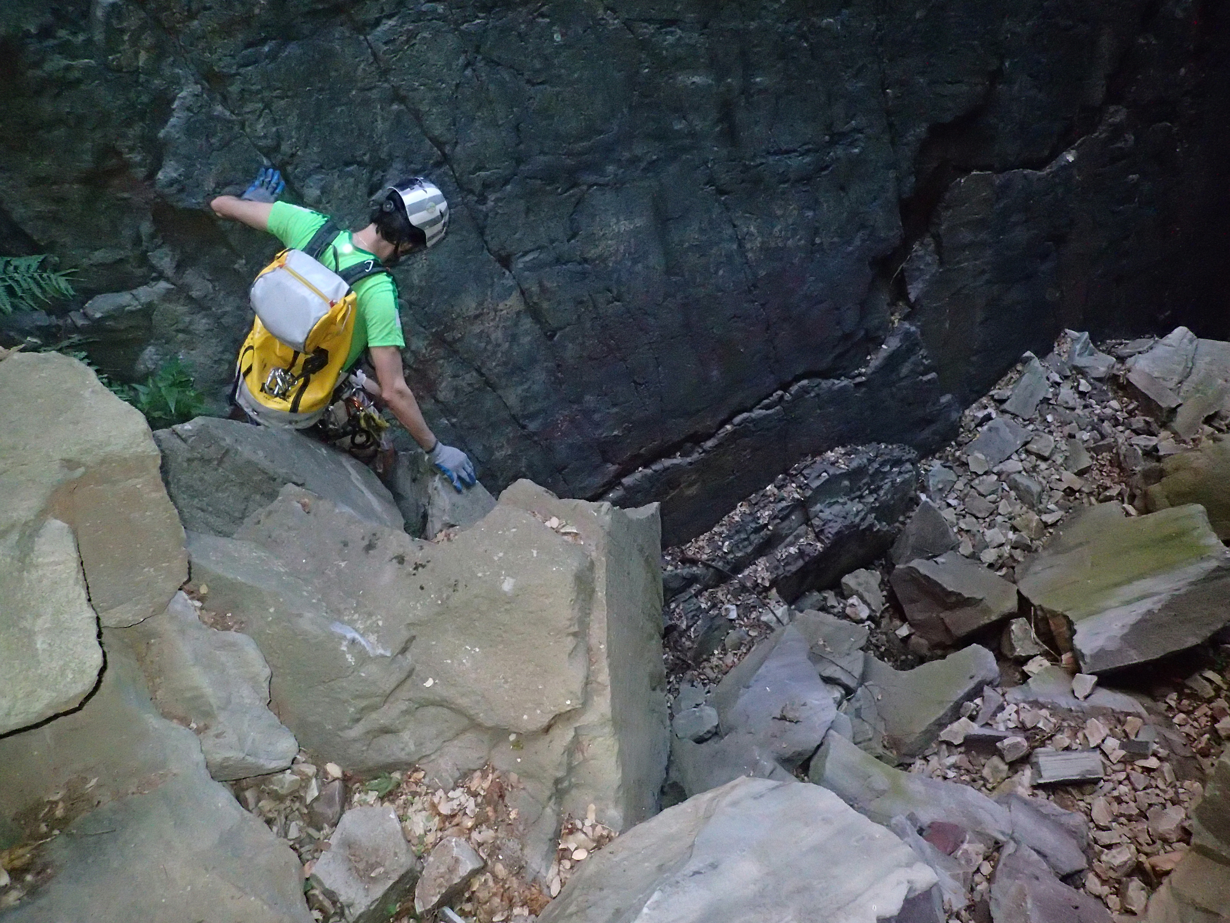
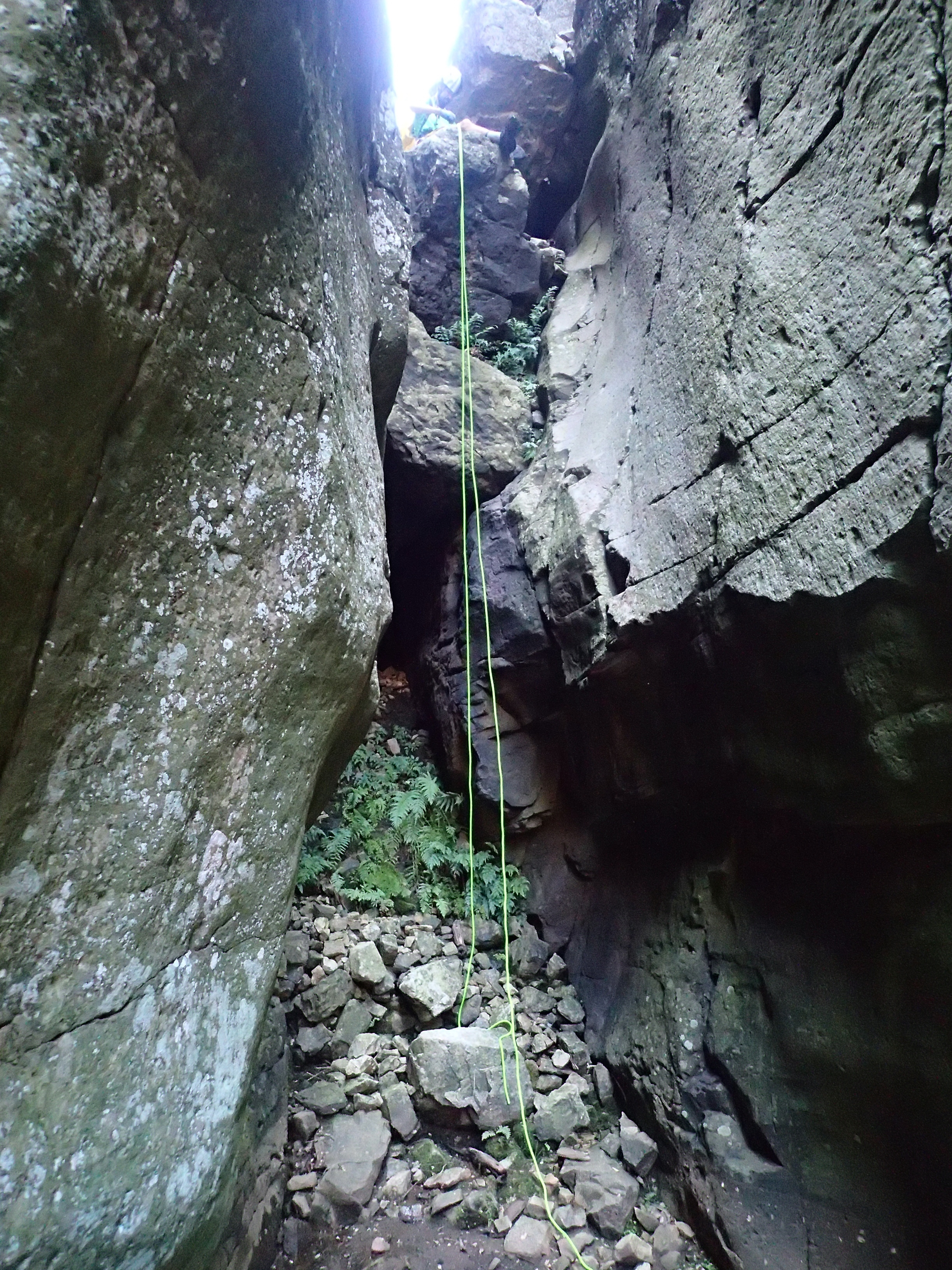
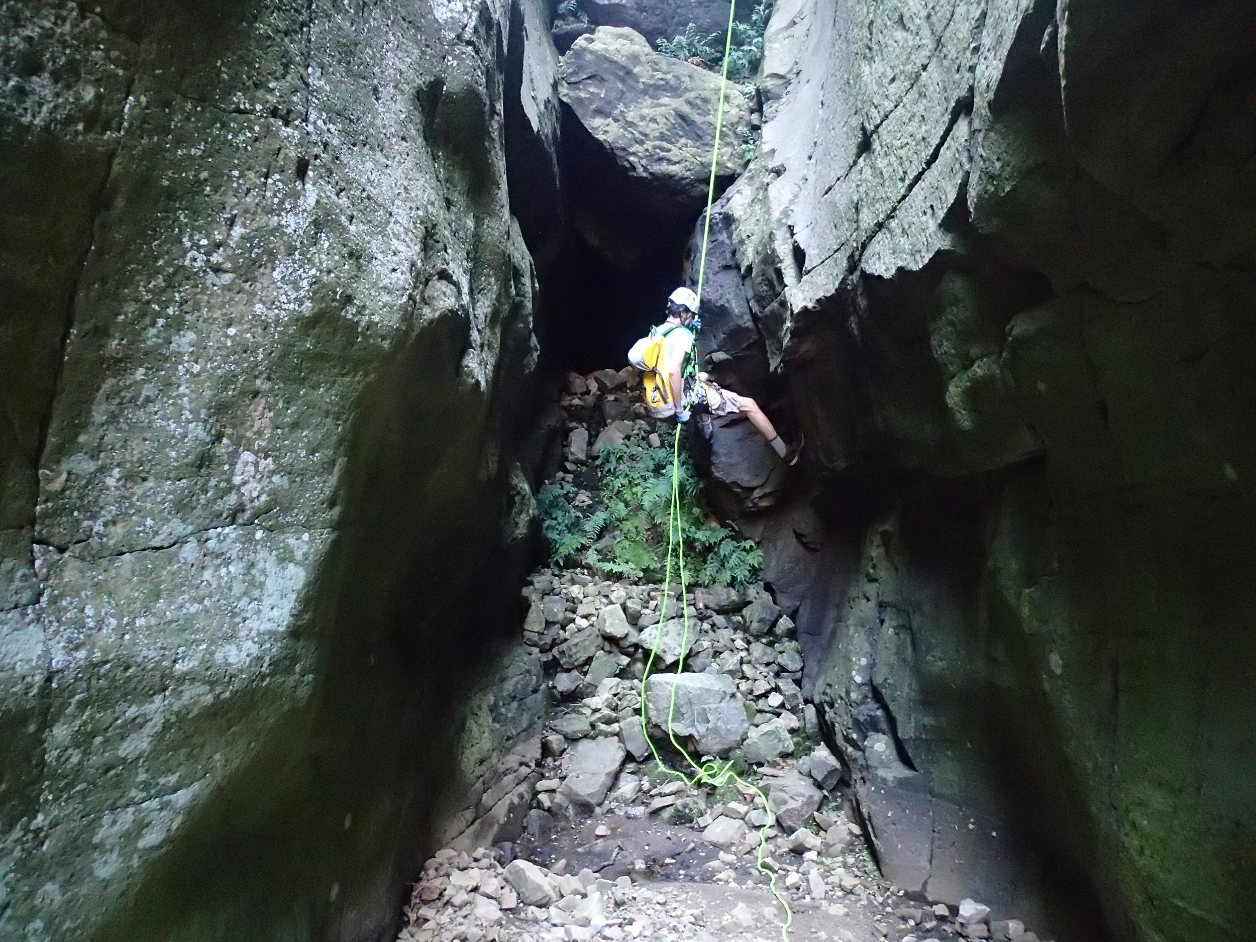
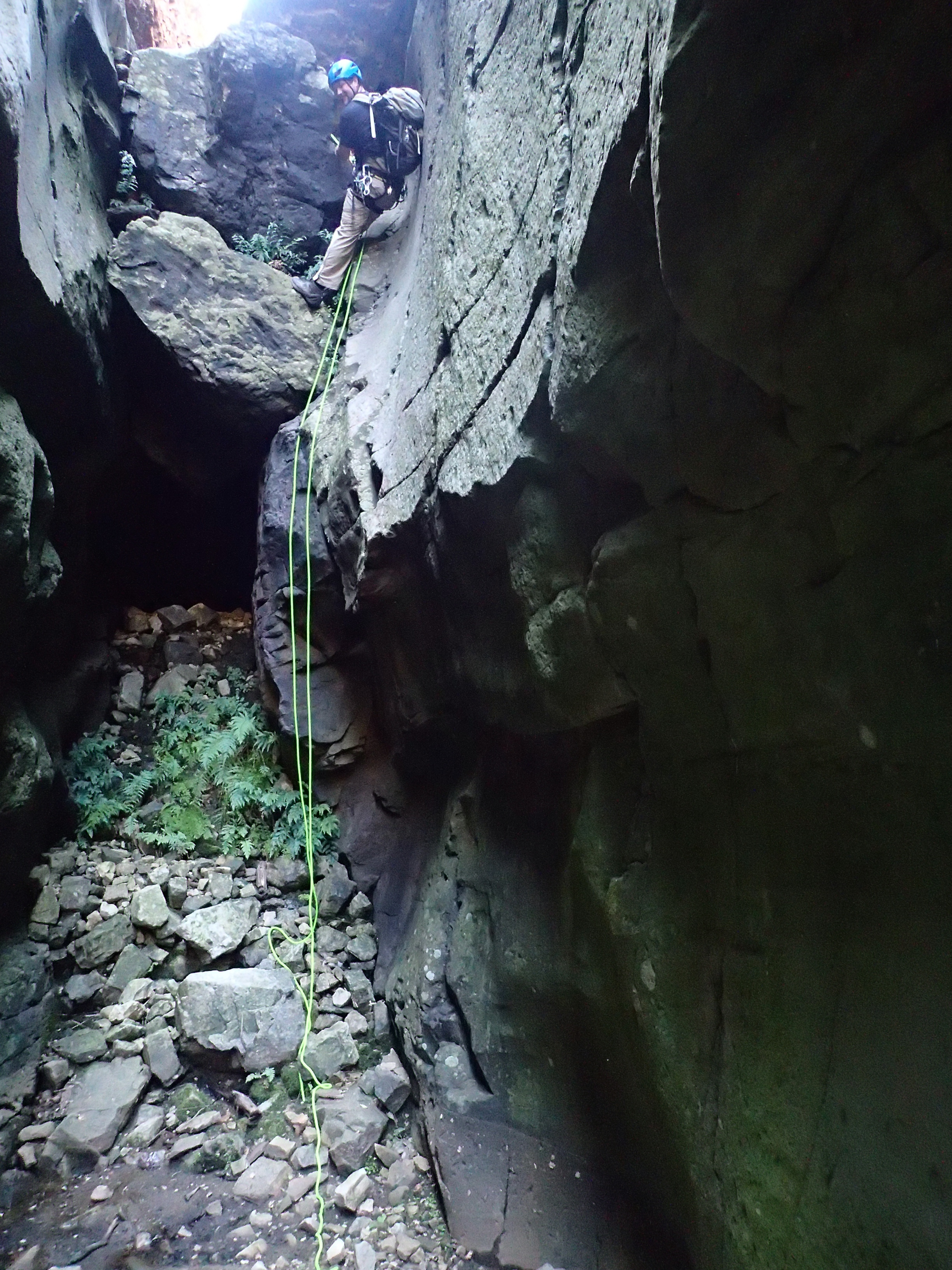
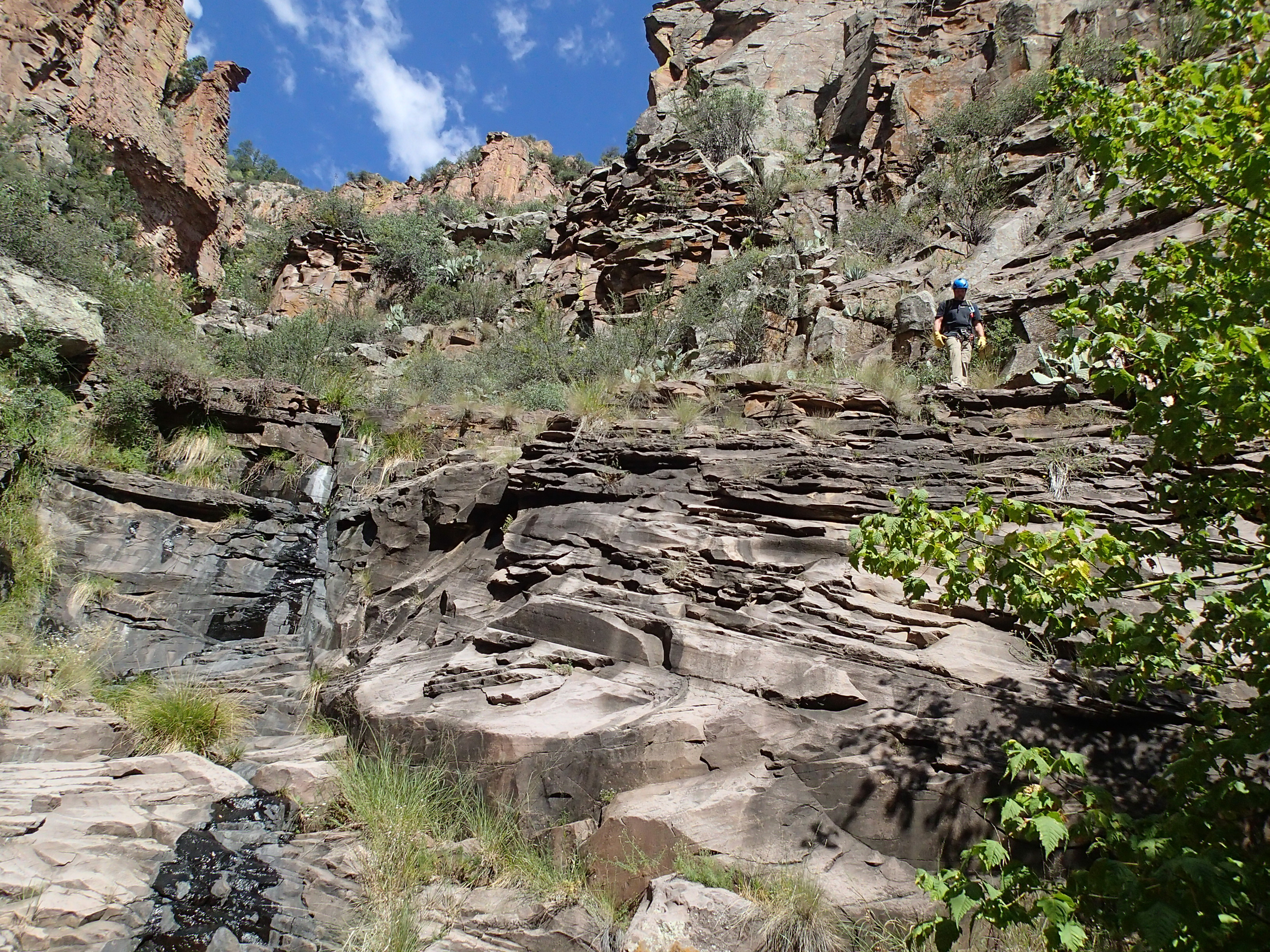
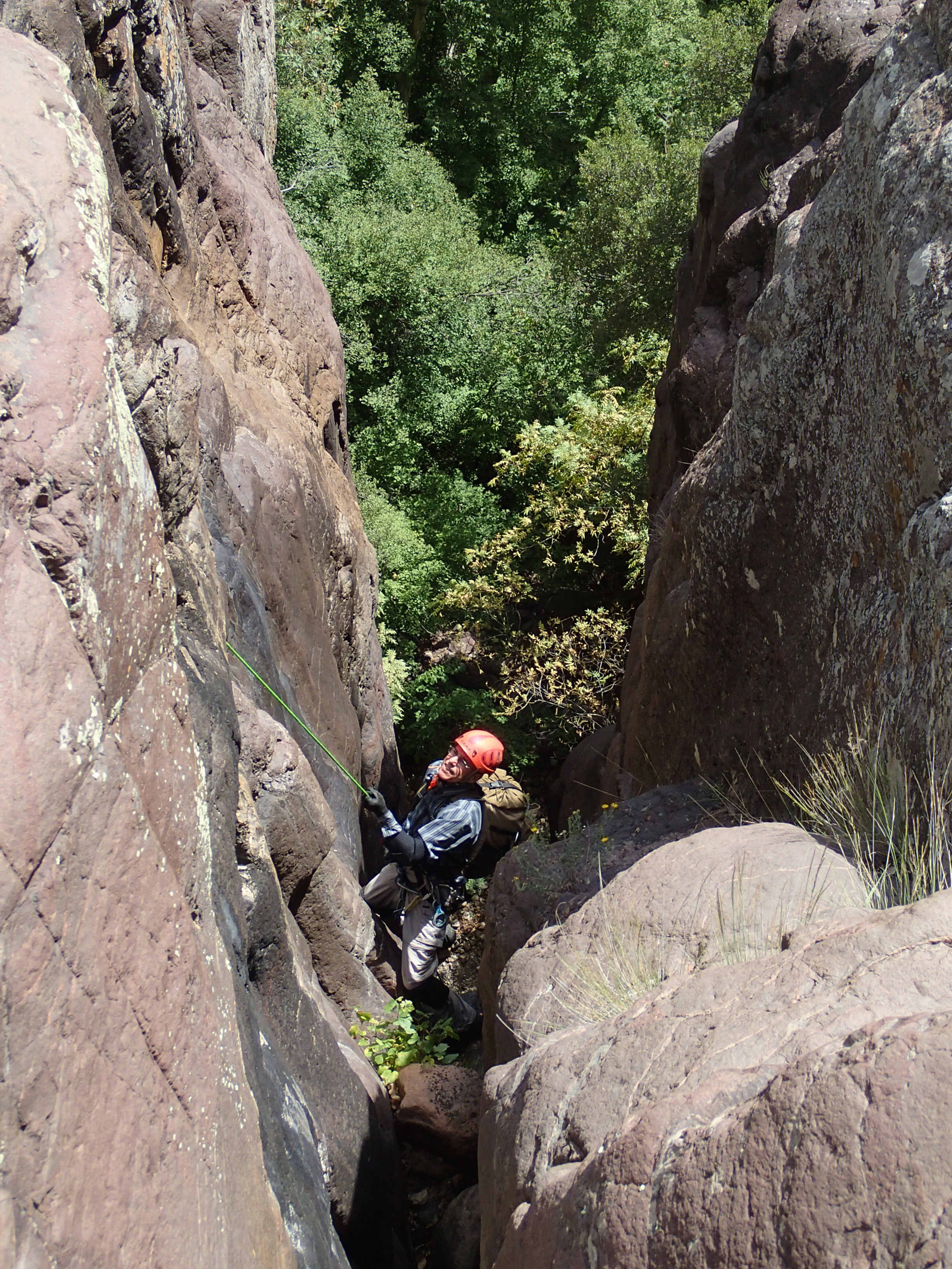
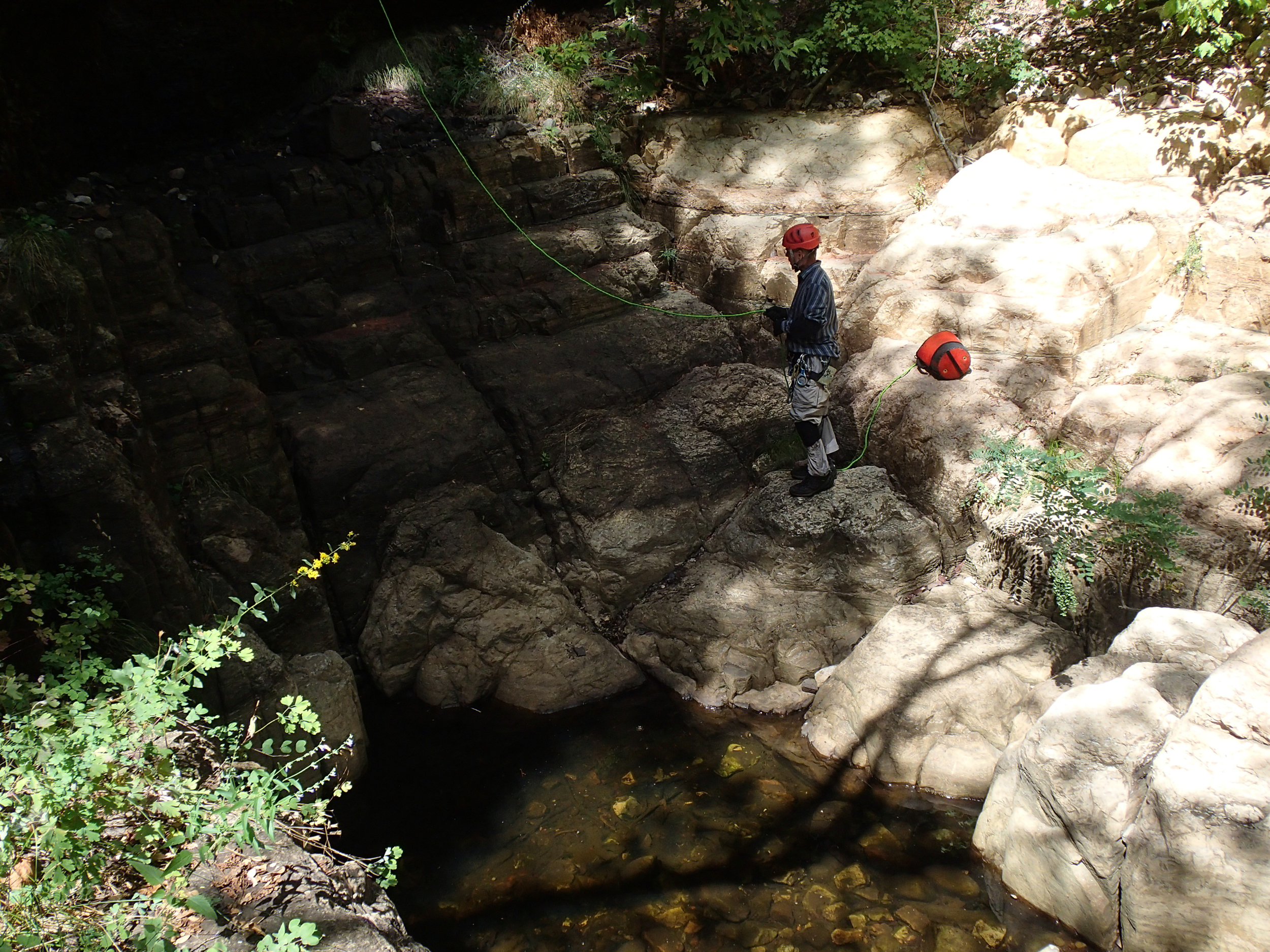
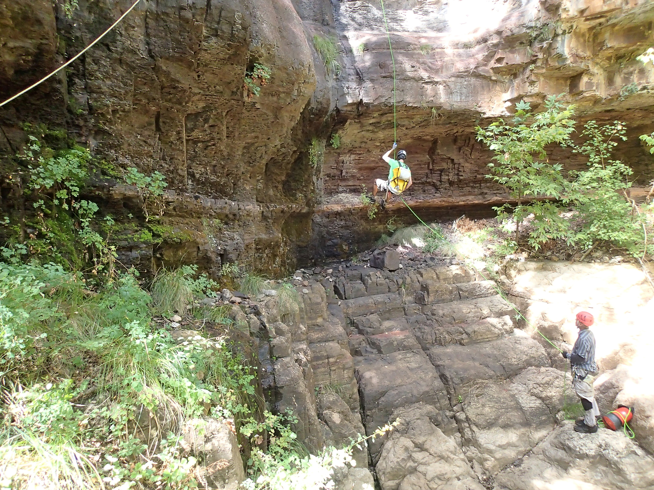
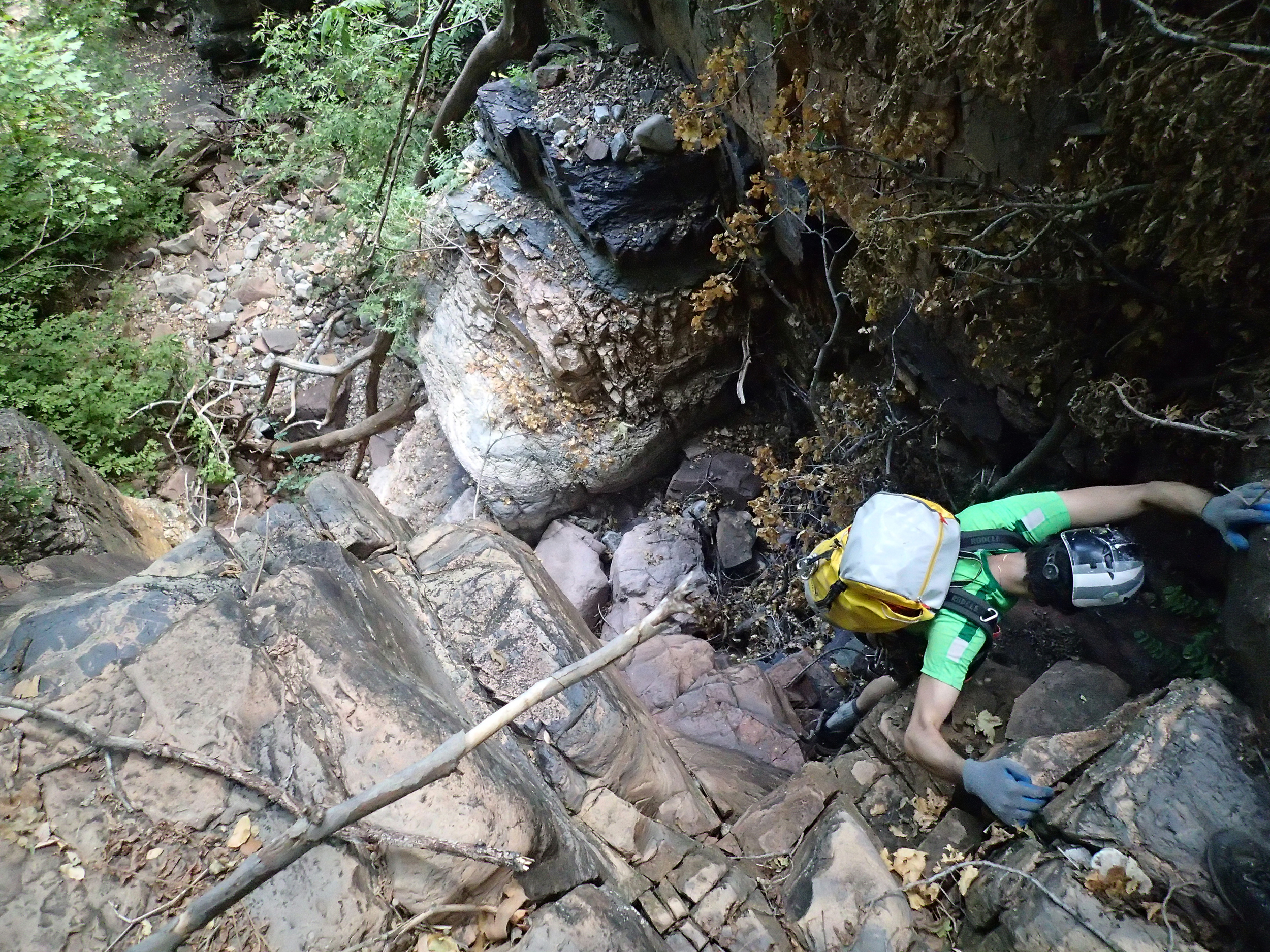
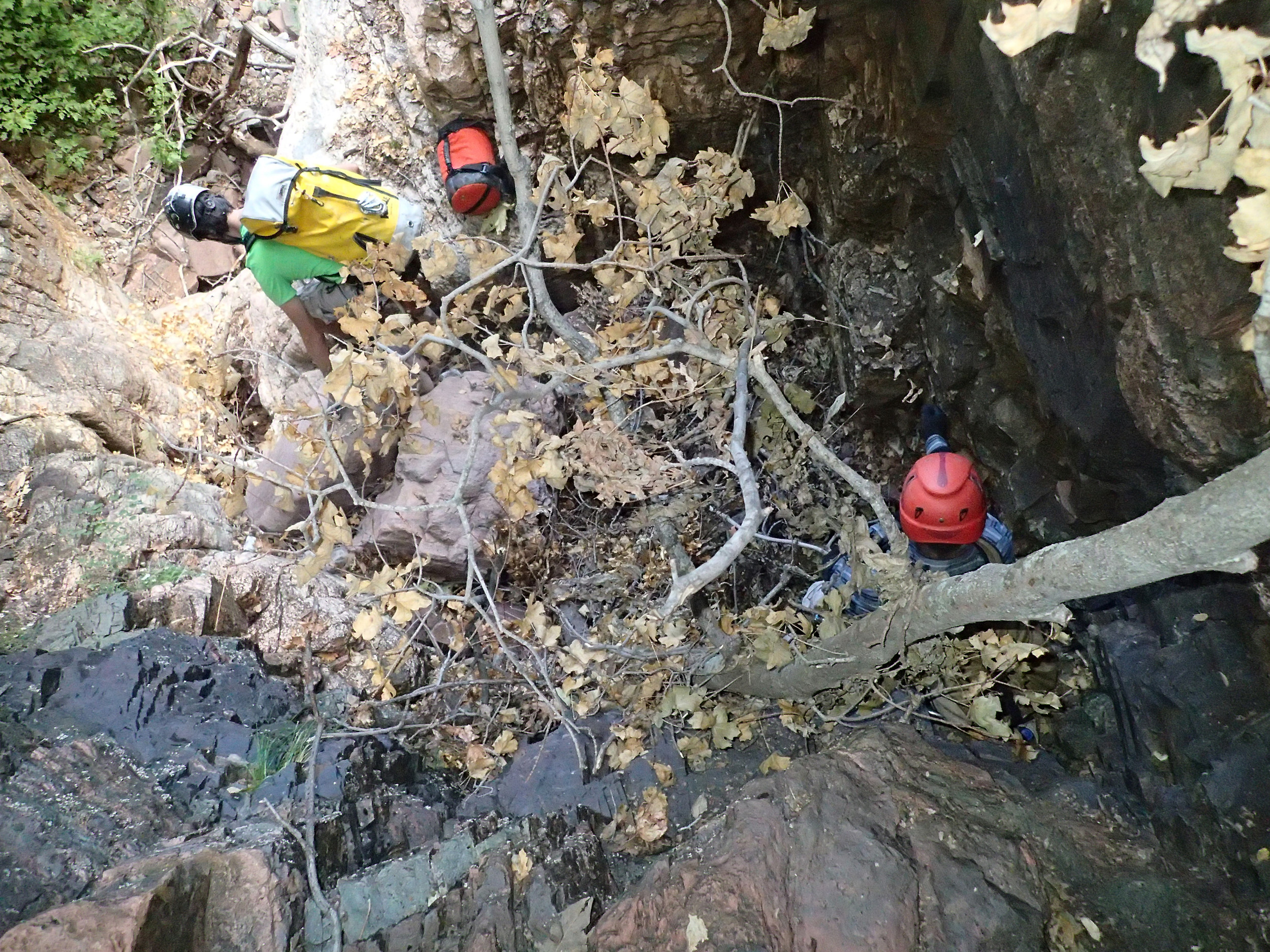
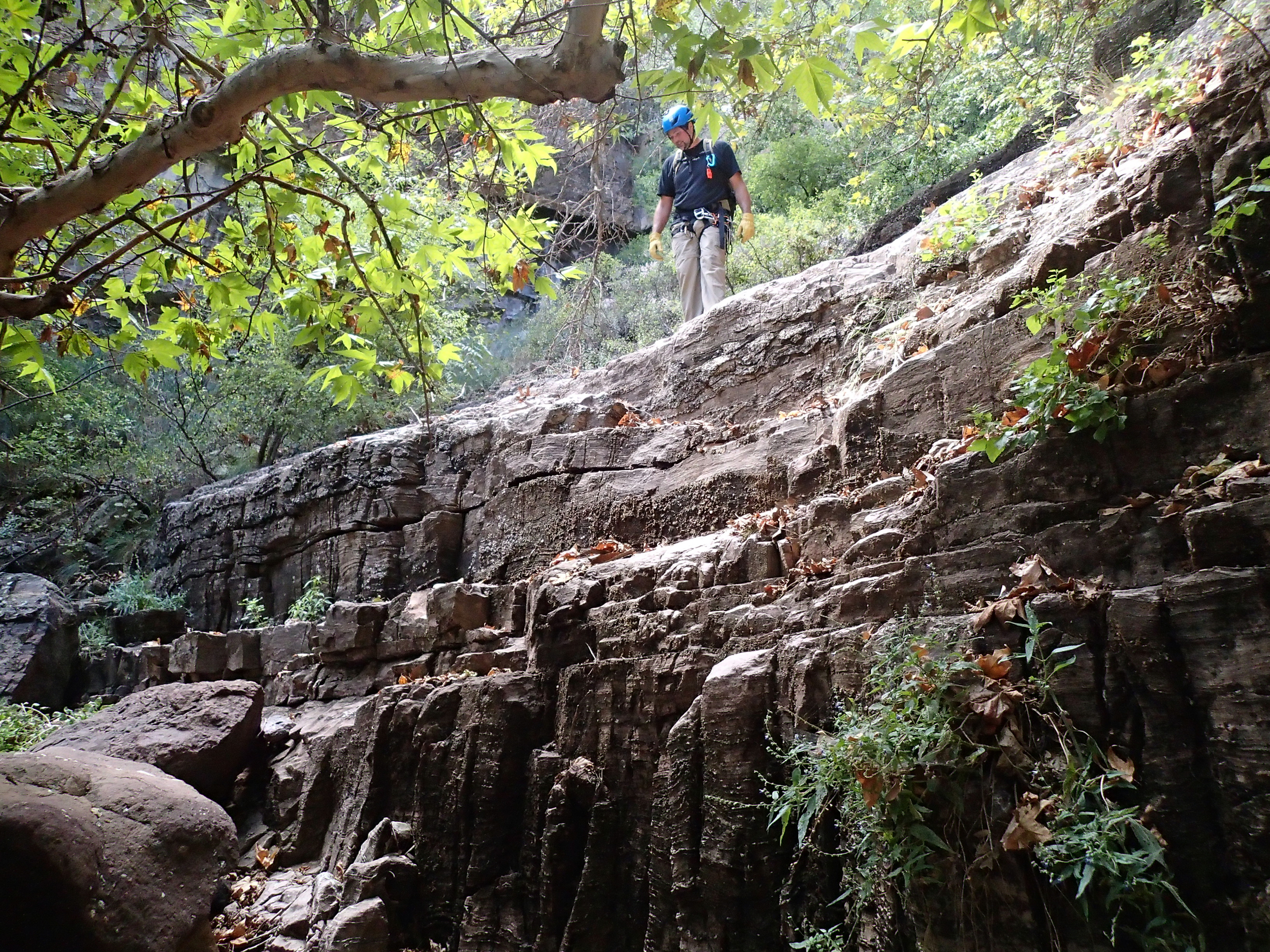
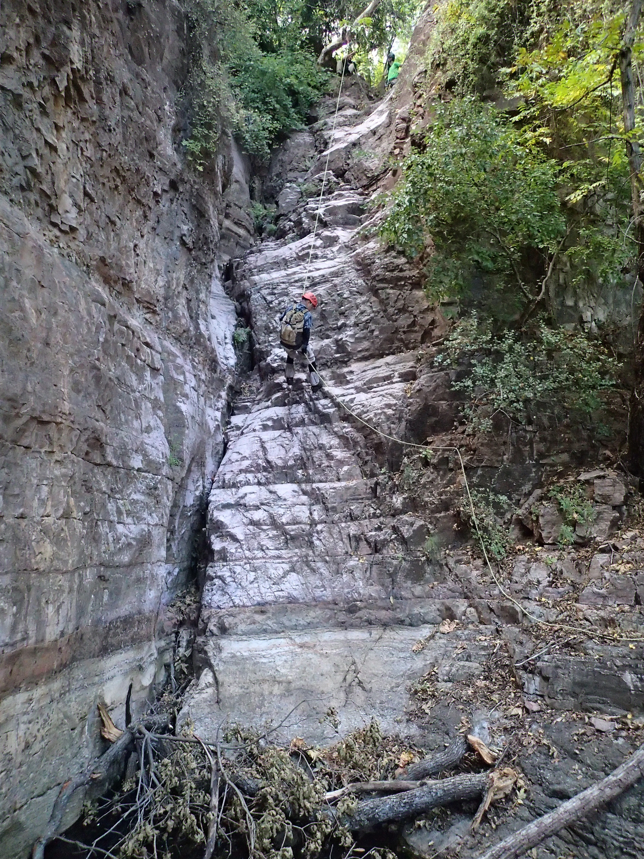
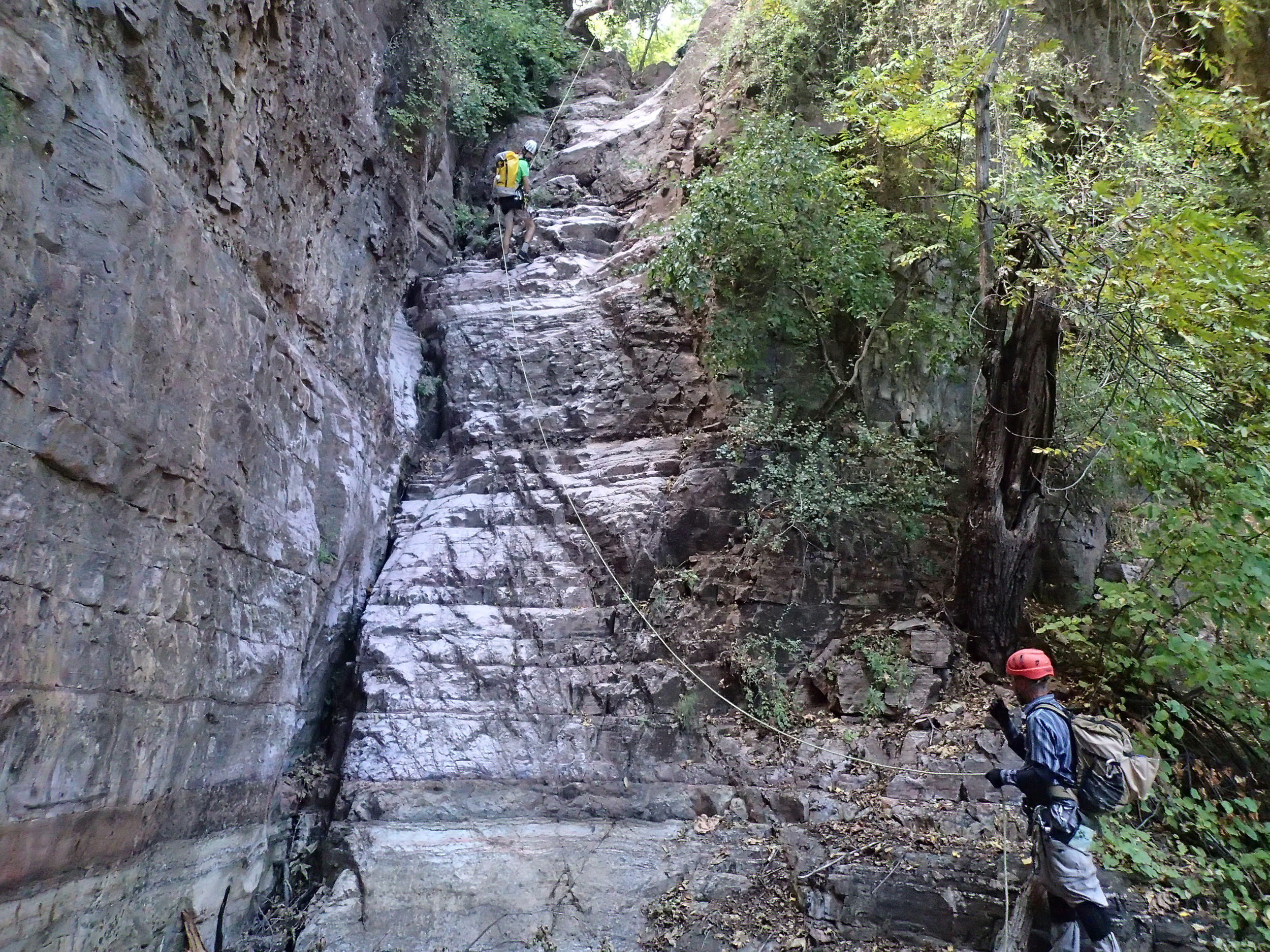
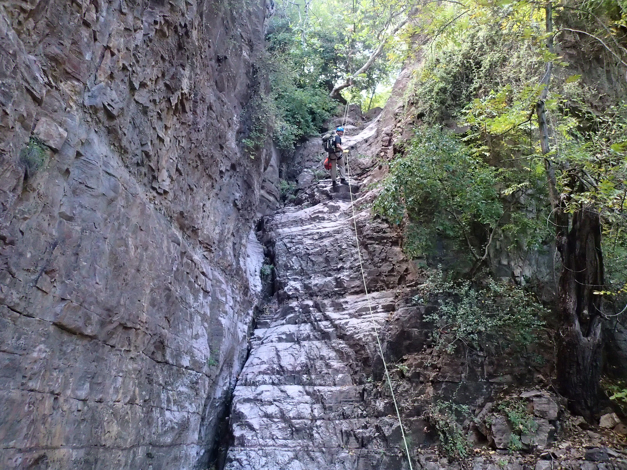
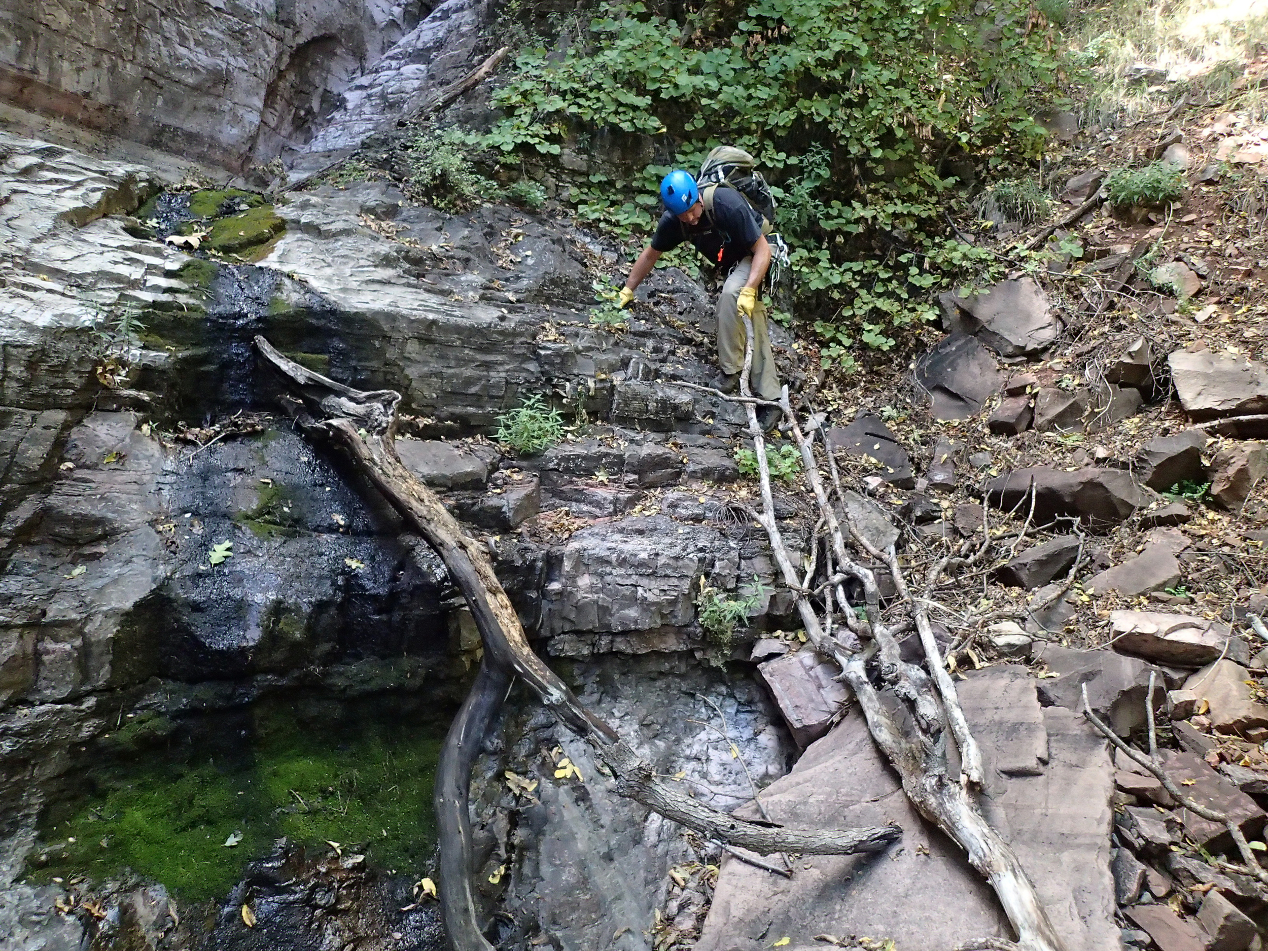
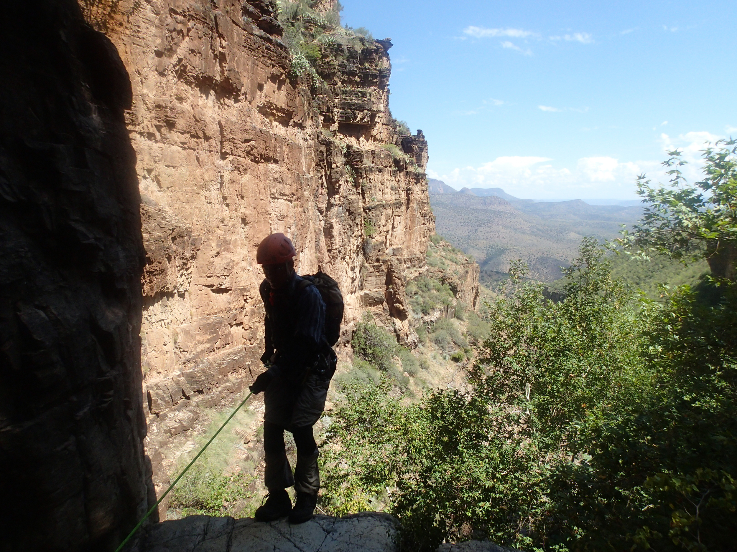
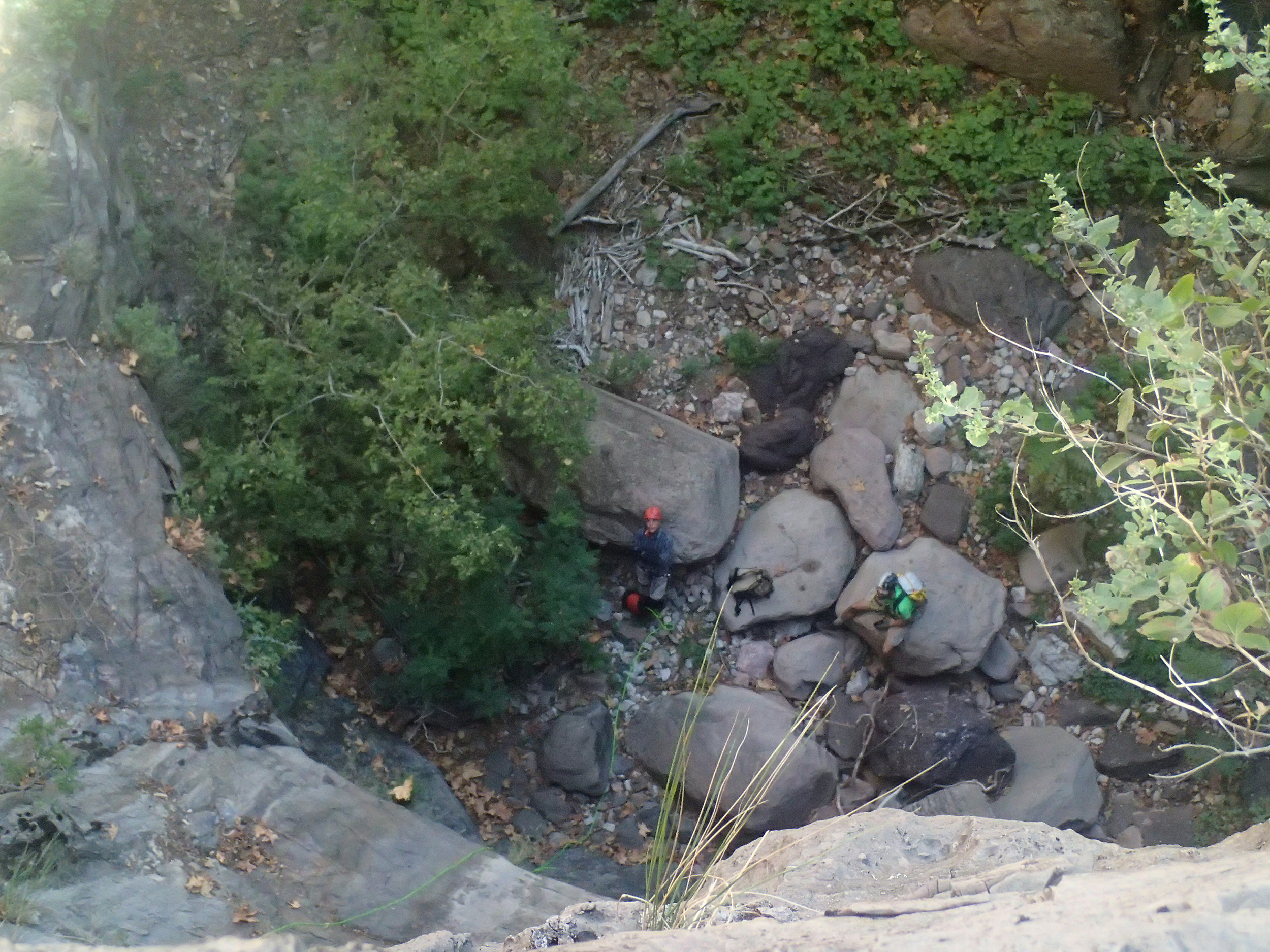
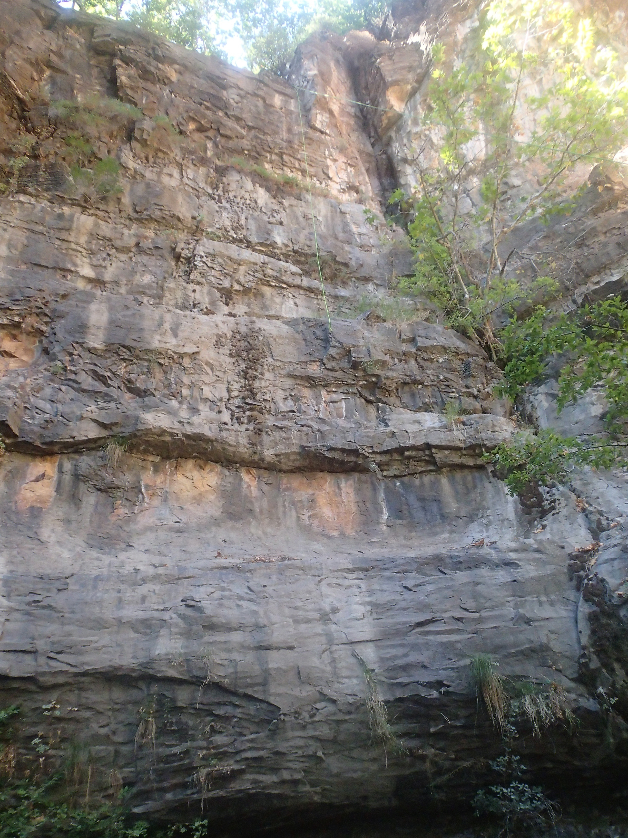
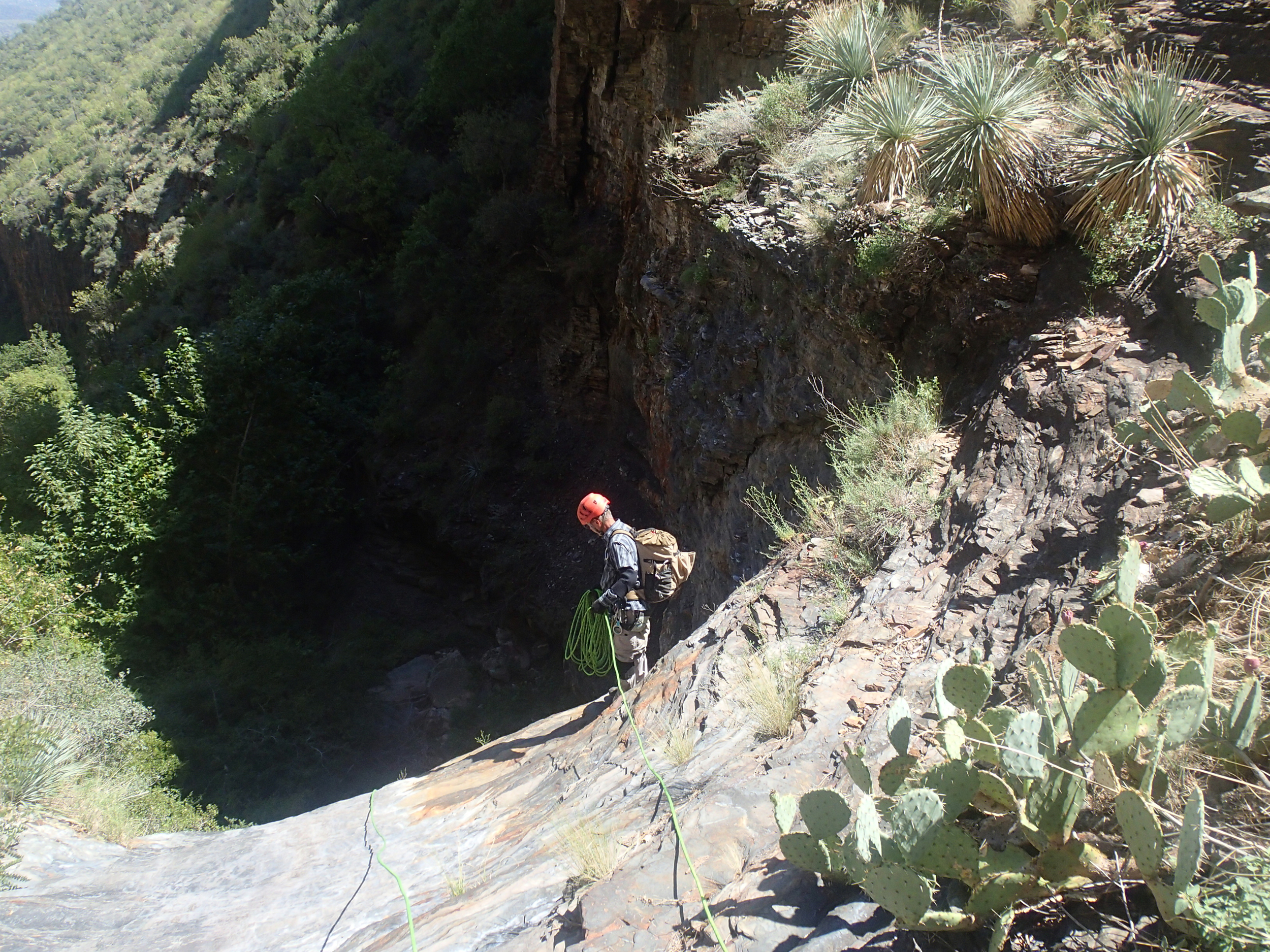
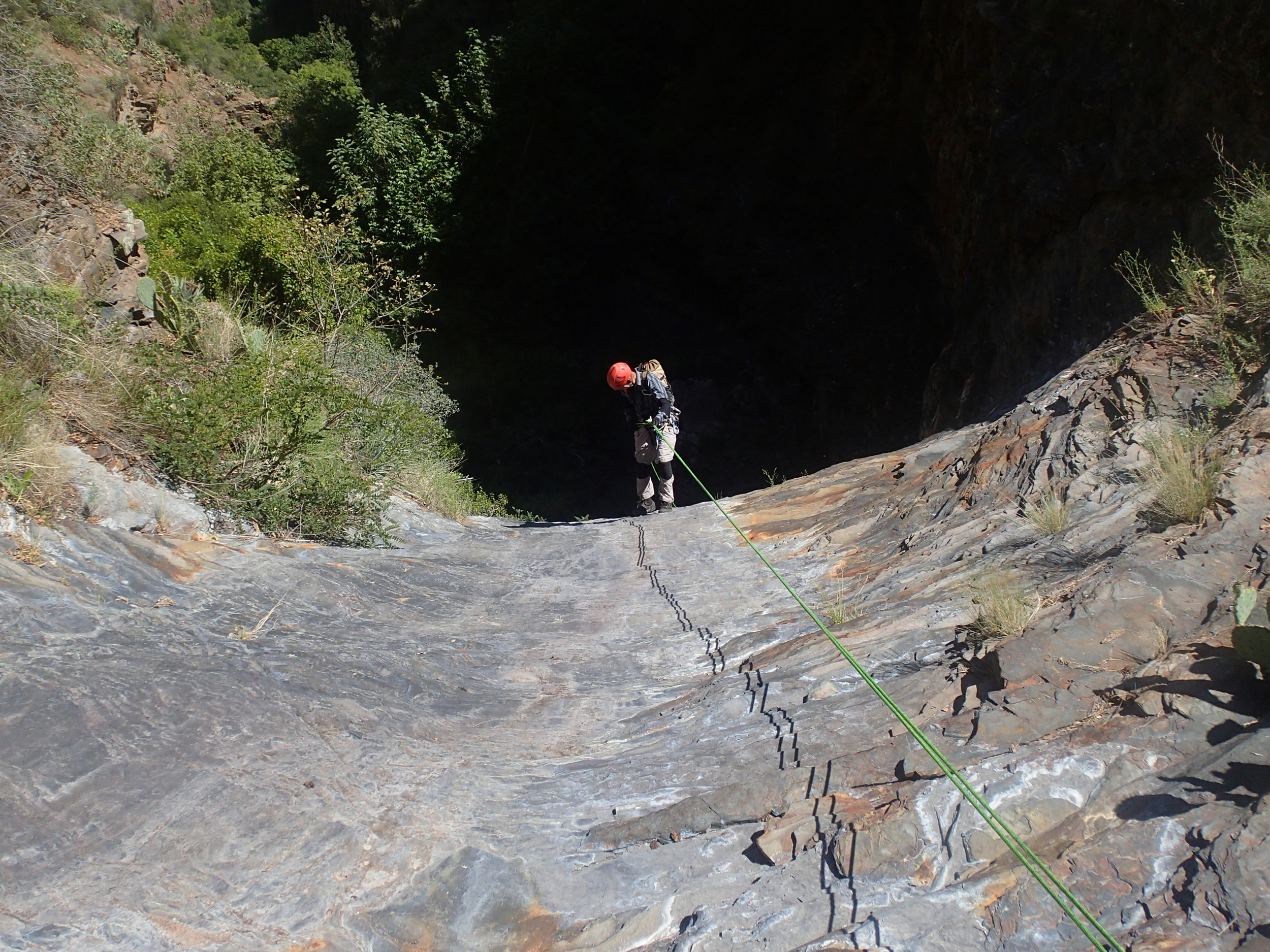
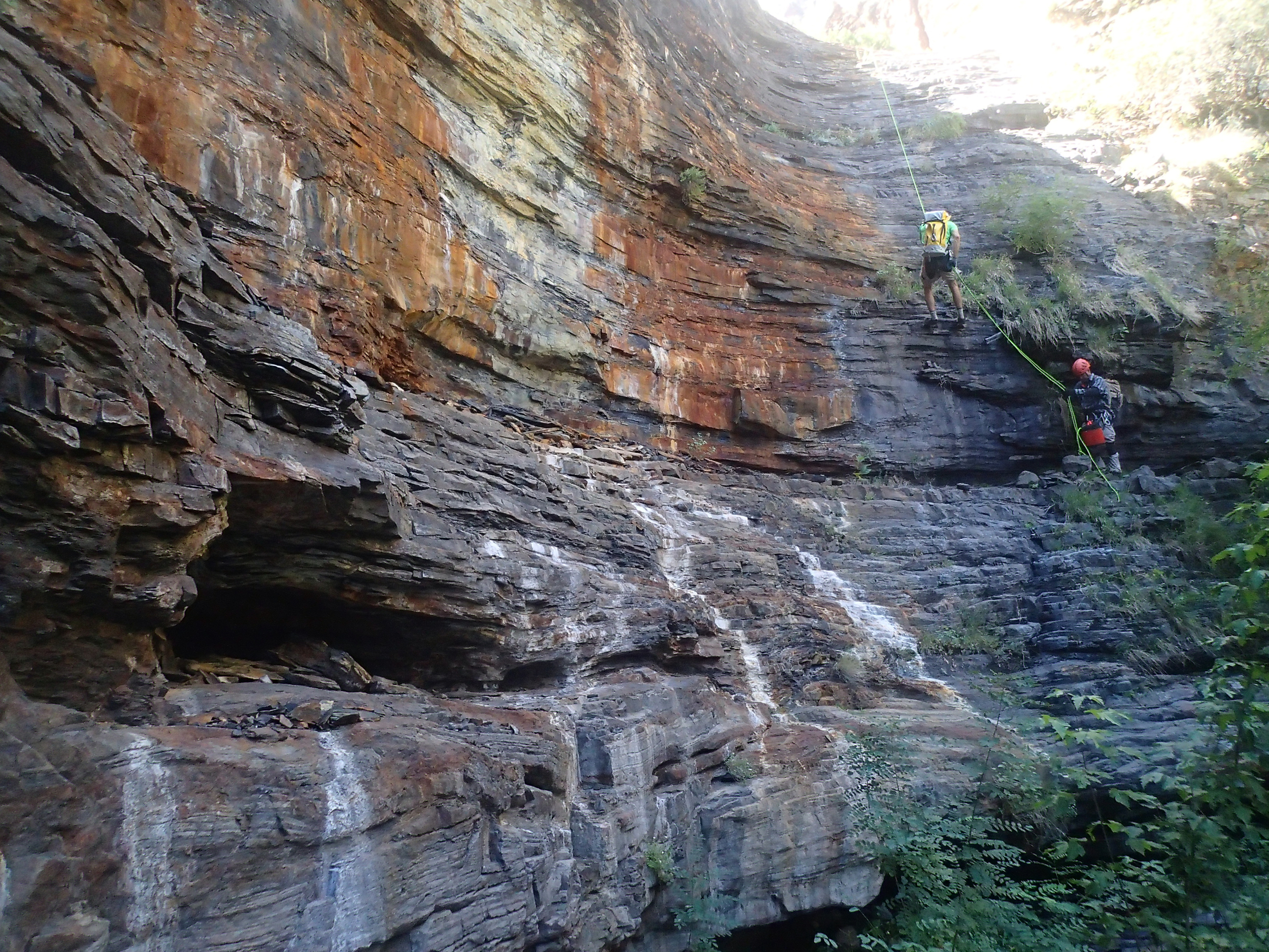
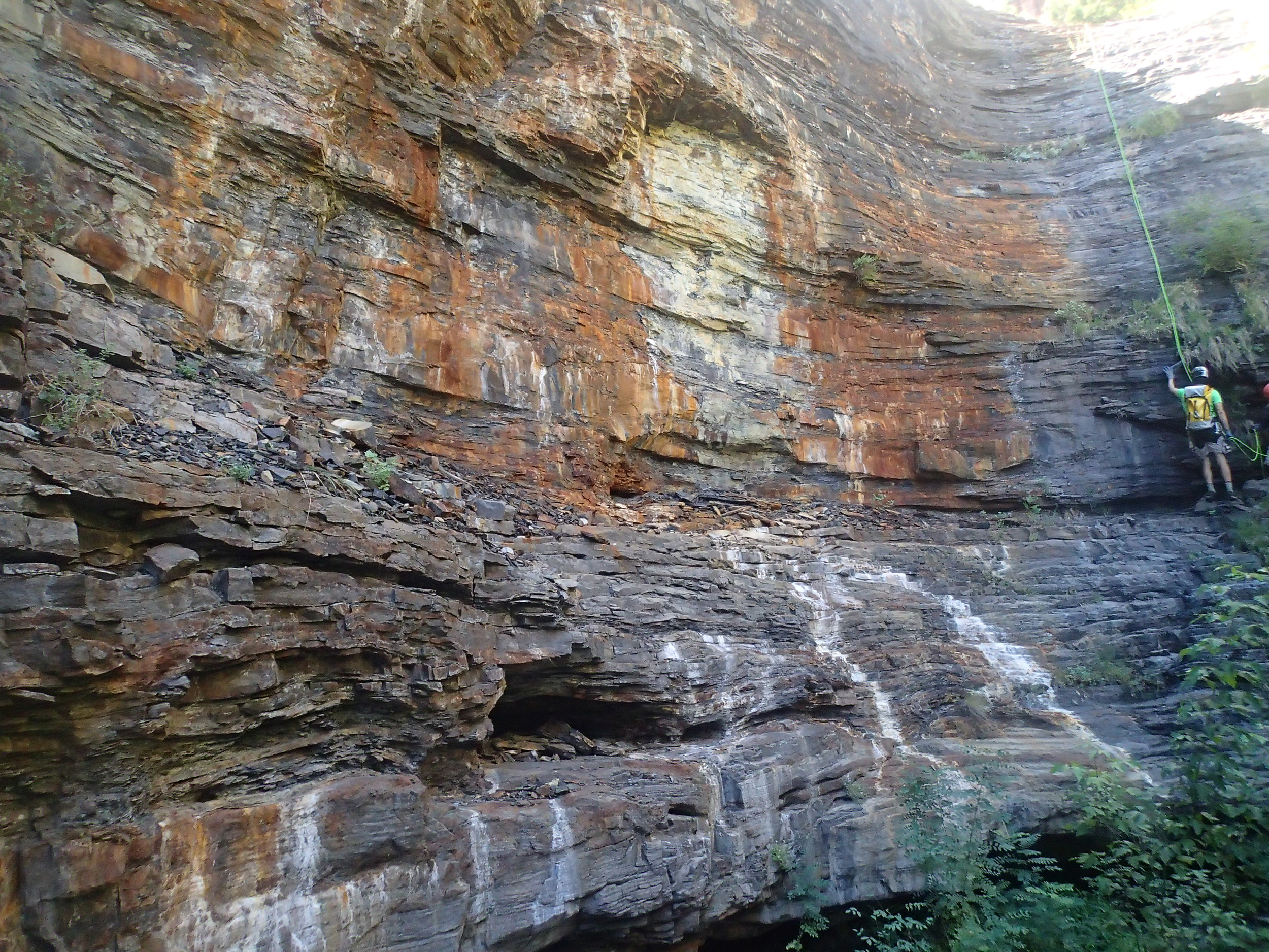
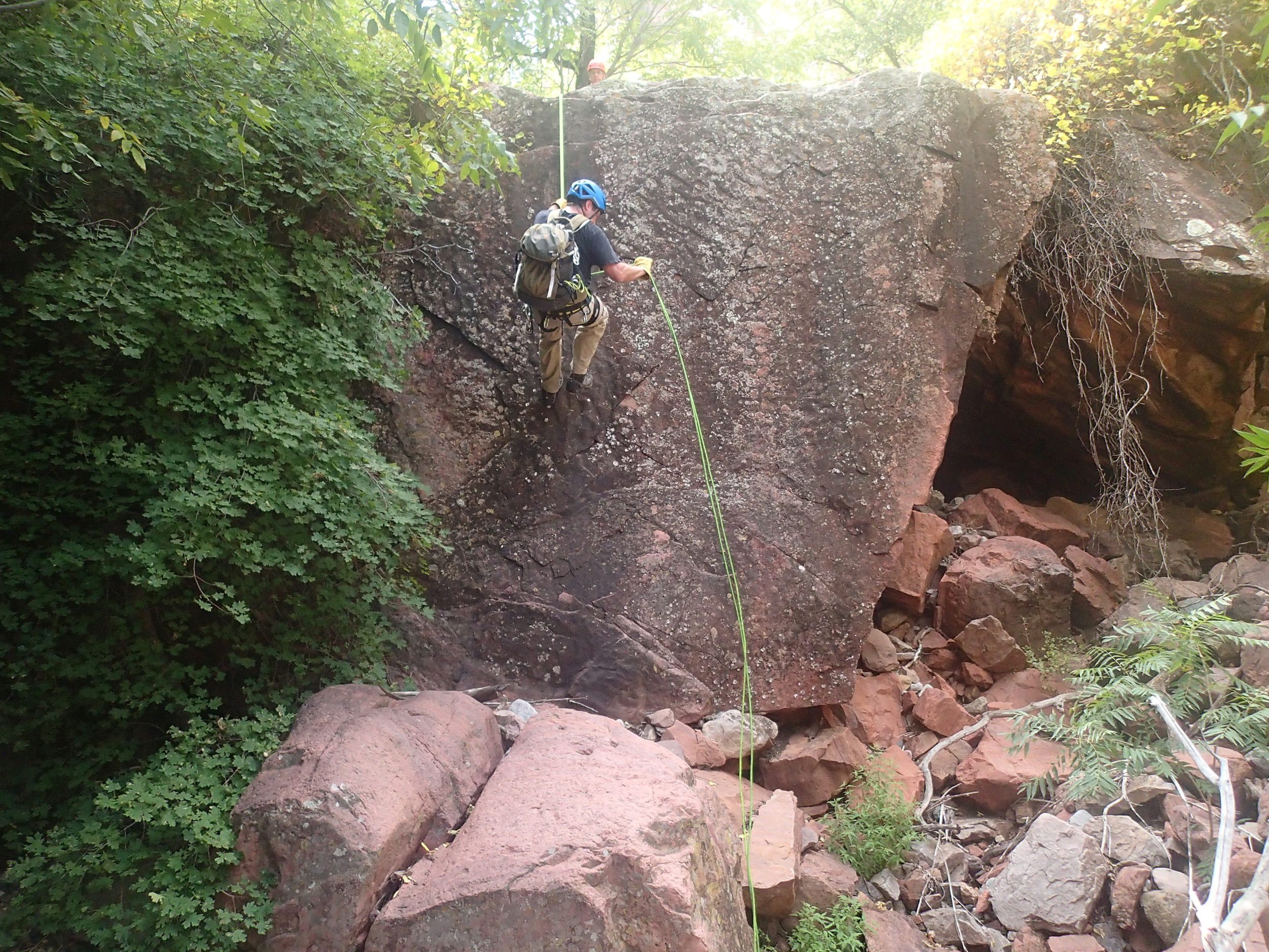
Devil's Tail begins just beyond Aztec Peak along the Workman Creek road. As you are making your way up, just before the road is gated at the Murphy Ranch you will find trail 141 that can be followed down to the junction with trail 139. From this junction, it is a short walk up the trail and over to the canyon rim to begin the descent. You will be certain you have arrived when you reach the Tail, a skinny and deep opening that cannot be mistaken as it is roughly 5' wide in this upper section. From the entry point, there is plenty of room to gear up and get settled prior to dropping in. Our entry had us dropping in high on the Tail off a convenient bush, although a unmistakable large pine tree on the rim would also make a grand entrance. Once you have entered the canyon, you will find yourself working down a 0.4 mile long slot with several drops as you make your way towards the main drainage just beyond the large beam of light ahead of you. This skinny section offered several nice drops and looked to have potential for pooling in a spot or two, but nothing of consequence. Once into the main drainage the canyon opens up for a moment and seems to be finished, but continuing on you will find a handful of drops as you continue your descent towards cherry creek road. The first of these main canyon drops is approximately 180' that tightens up a bit towards the bottom and ends with a small overhung section prior to getting off rope. This rap in particular has lots of areas where ropes could get hung up during a pull, so be mindful when retrieving so you don't contribute your gear to the canyon. After a few more drops you will arrive at what we referred to as "The window to the world" rappel. A large flat and wide section of rock spanning wall to wall that creates a spectacular viewing platform to take in the Sierra Anchas. Some craftsmanship could be necessary here if the anchors were to wash out as the flat rock floor does not offer much in the way of features, but there are plenty of options for a construction project to get you down as needed. After a few more drops you will notice the canyon somewhat flattening out and getting heavier with vegetation as springs get the creek flowing and the technical portion comes to an end. Keep you eyes and ears open as the canyon soon converges with Devil's Chasm. The creek offers some pools at this intersection that make for a great spot to cool off and wash your face after a long day. The Devil's Chasm ruins are a well known destination and it would be to your benefit at this point to find the commonly used hiking trail on canyon right and follow it out back to the road. With the canyon behind you, there is nothing left now but to gear down, make the long trek out, and get ready for the next trip.
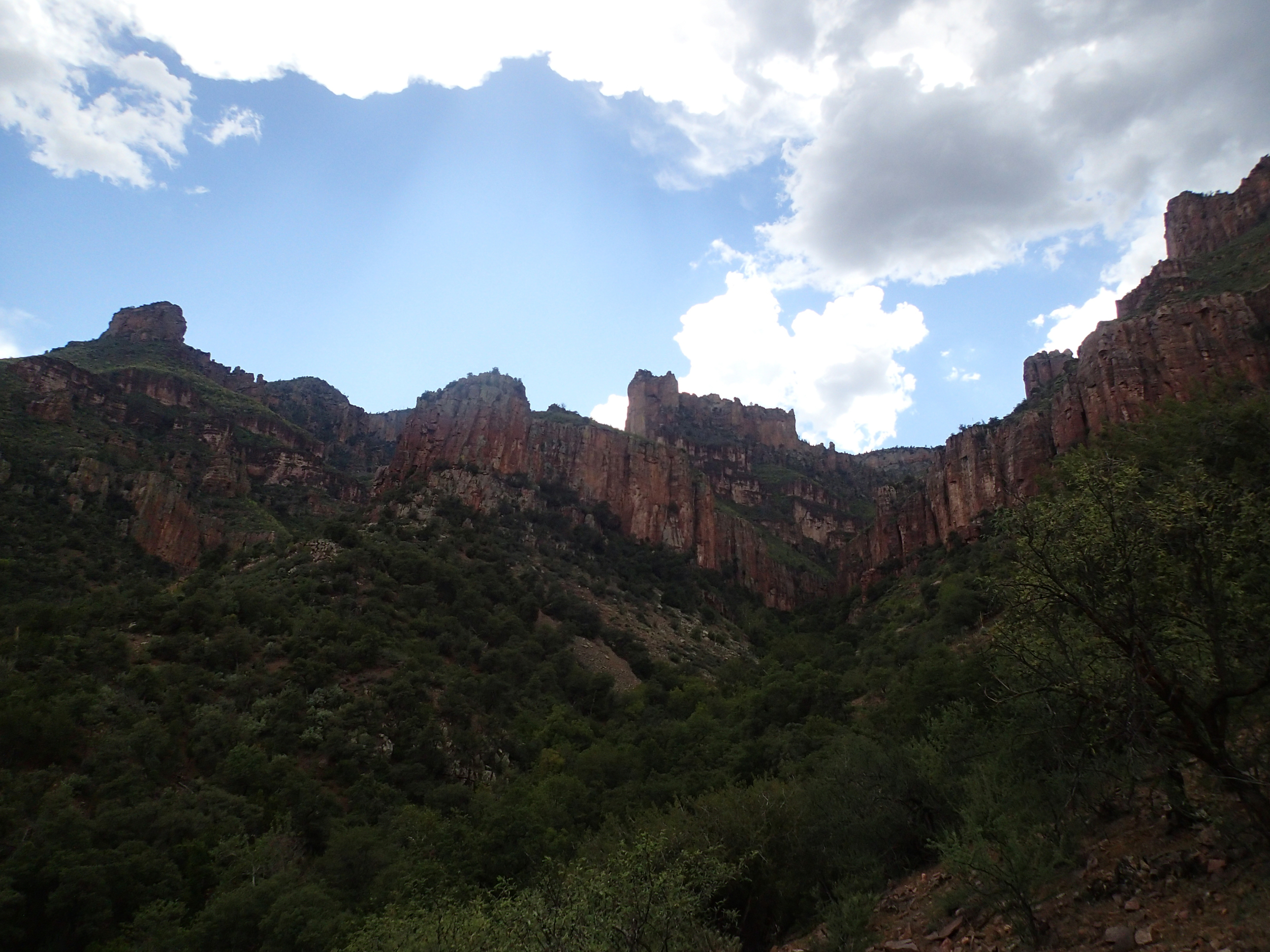
Trip Photos

Interactive Topographical Map

GPS Download

Printable Map

Weather Report