

Ash Creek Canyon, AZ
Location: Arizona, Coronado National Forest
Rating:3B - III
Longest Rappel: ≈ 170'
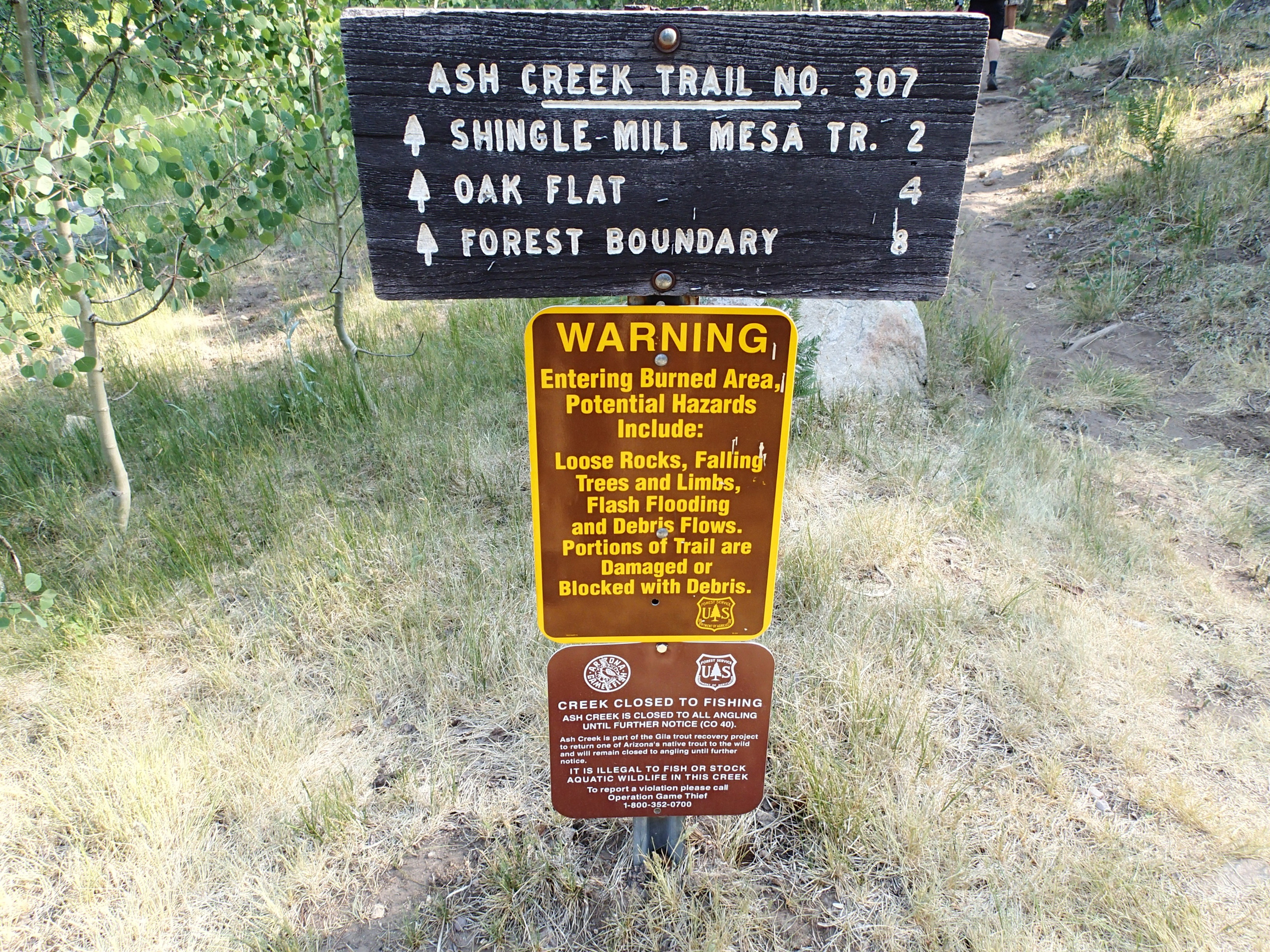
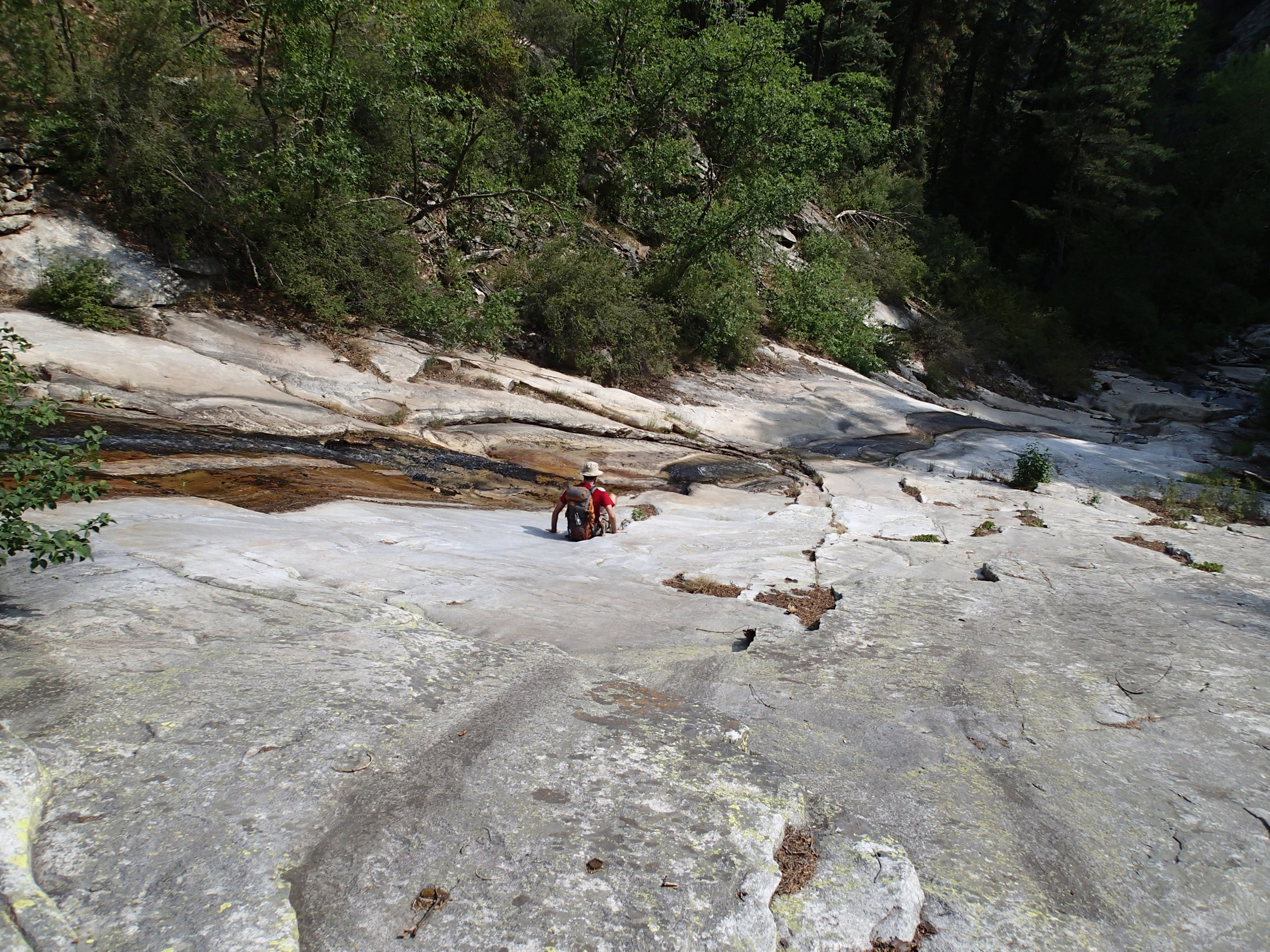
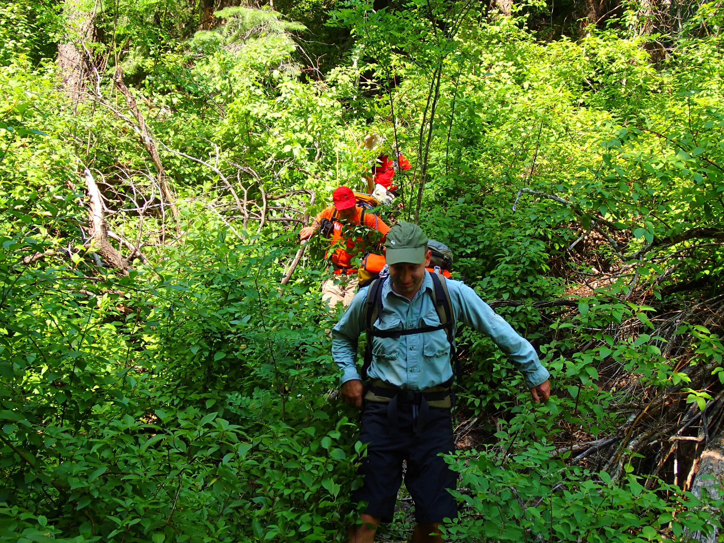
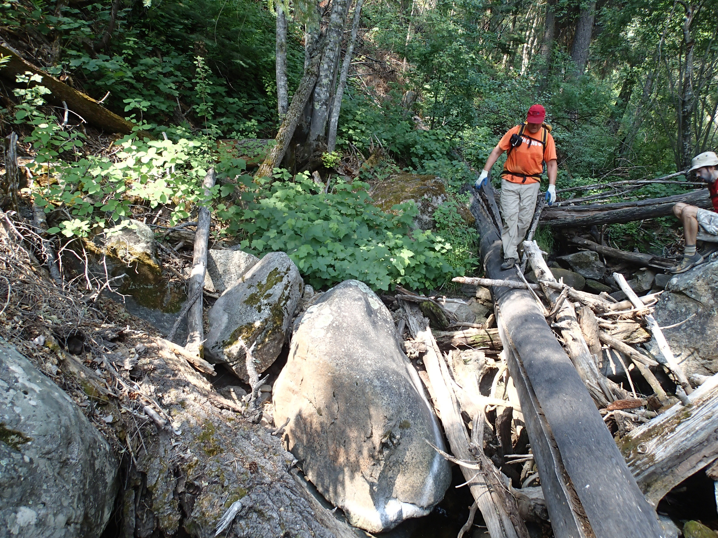
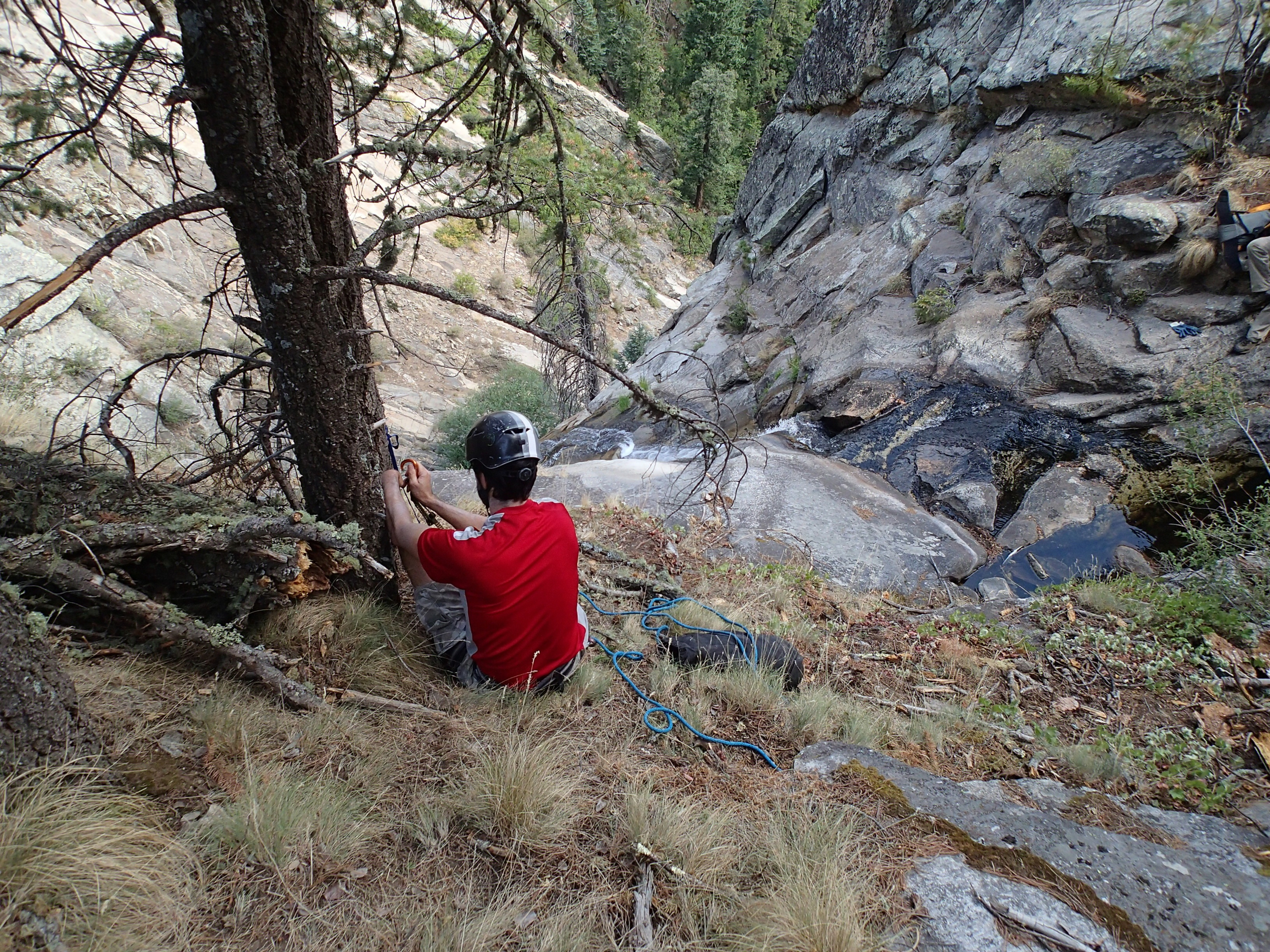
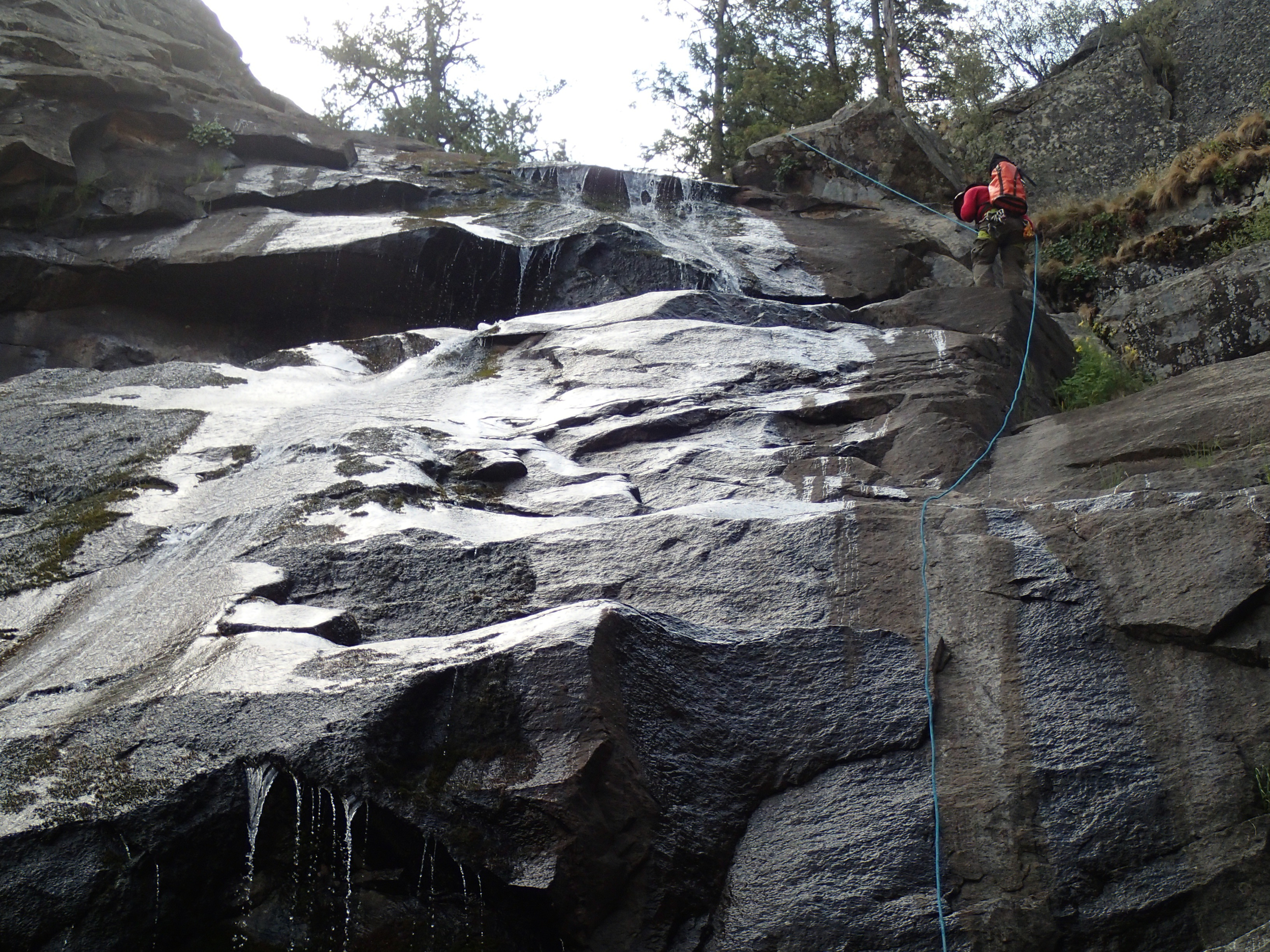
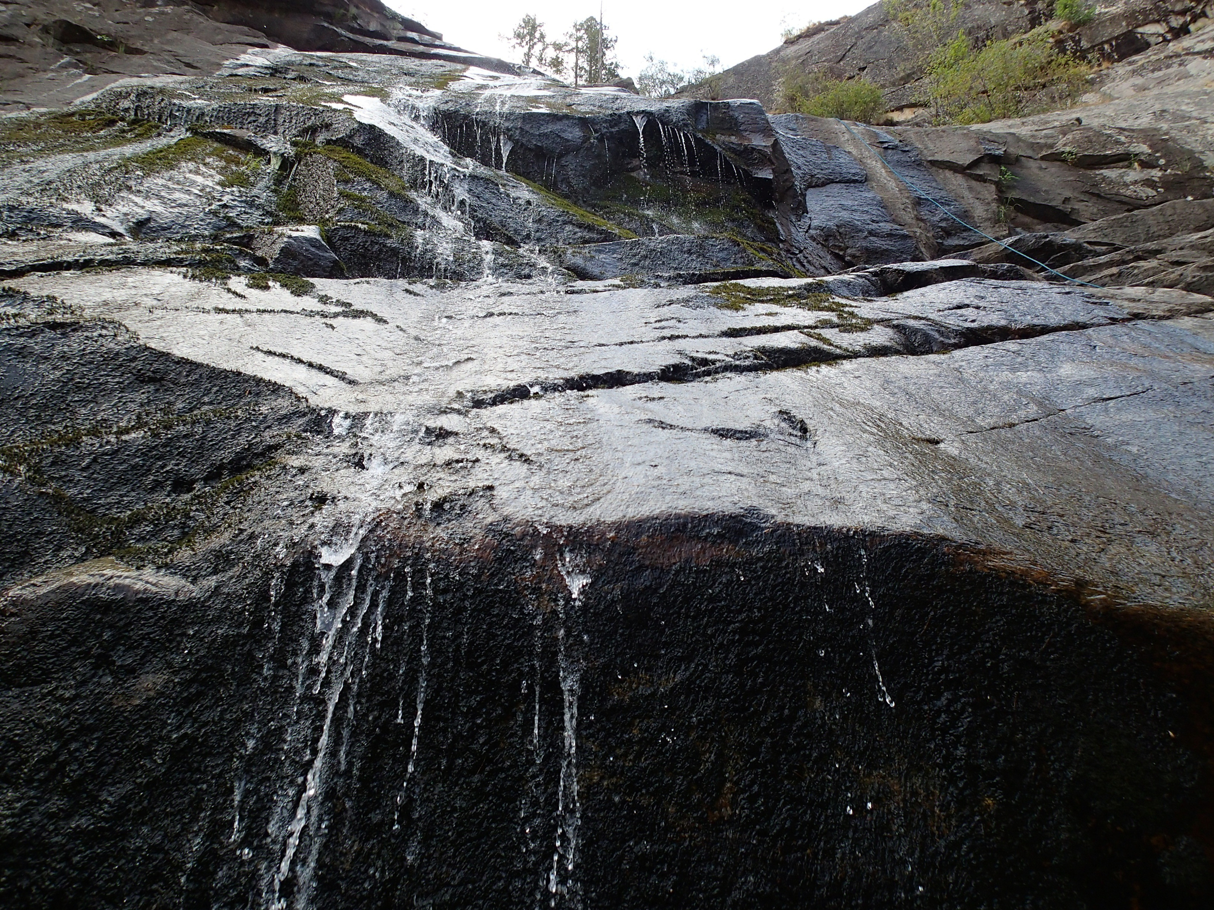
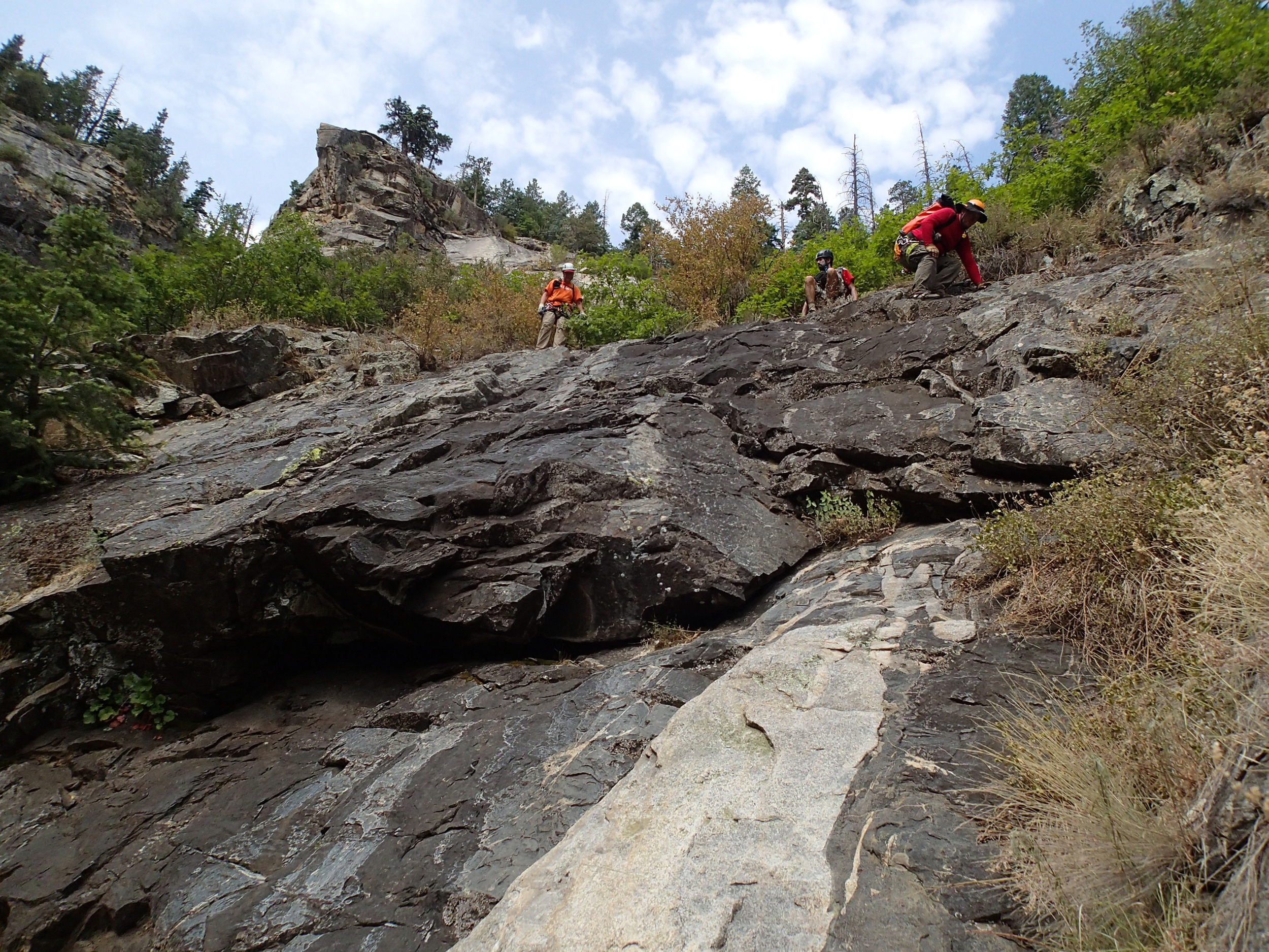
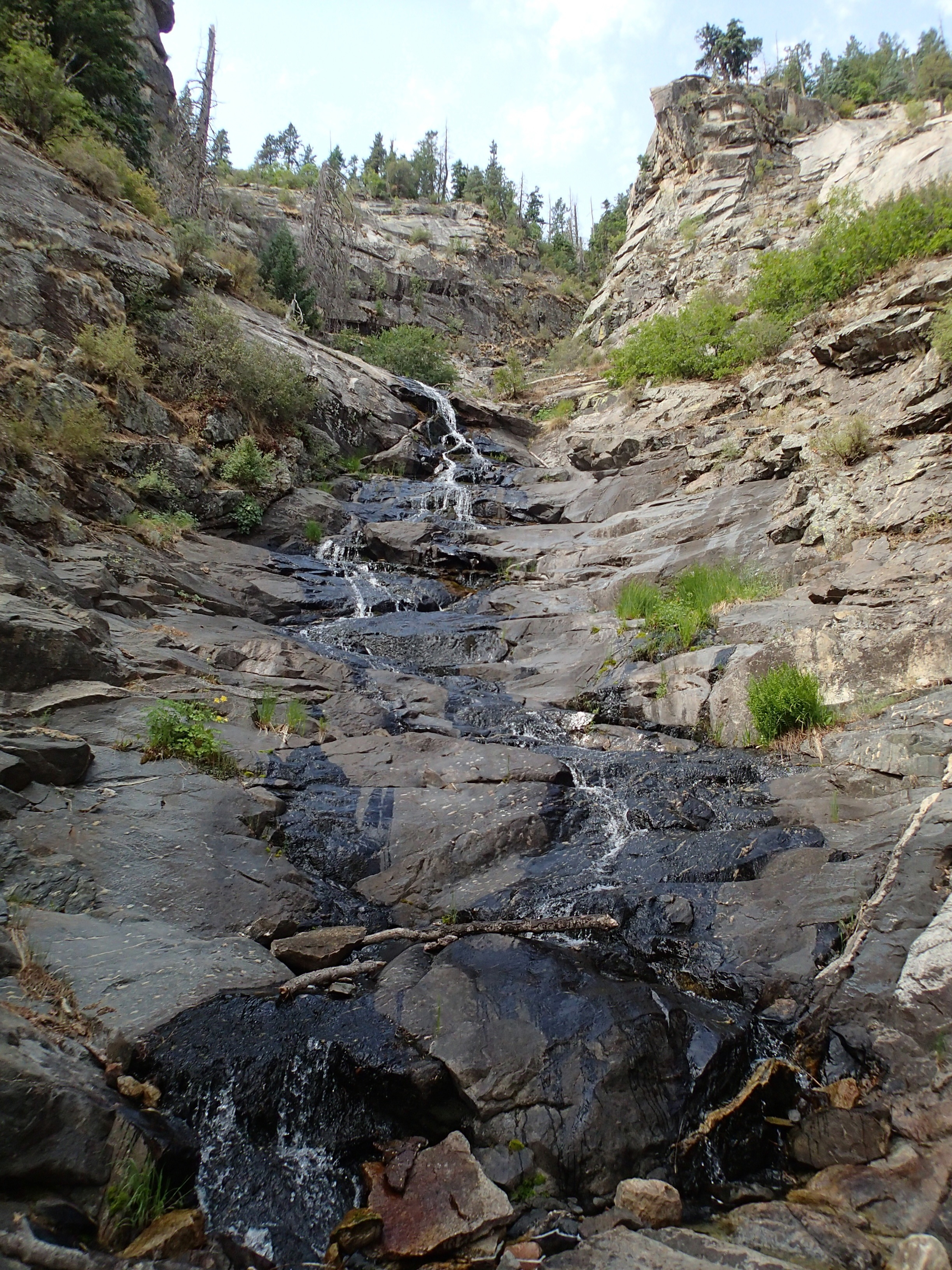
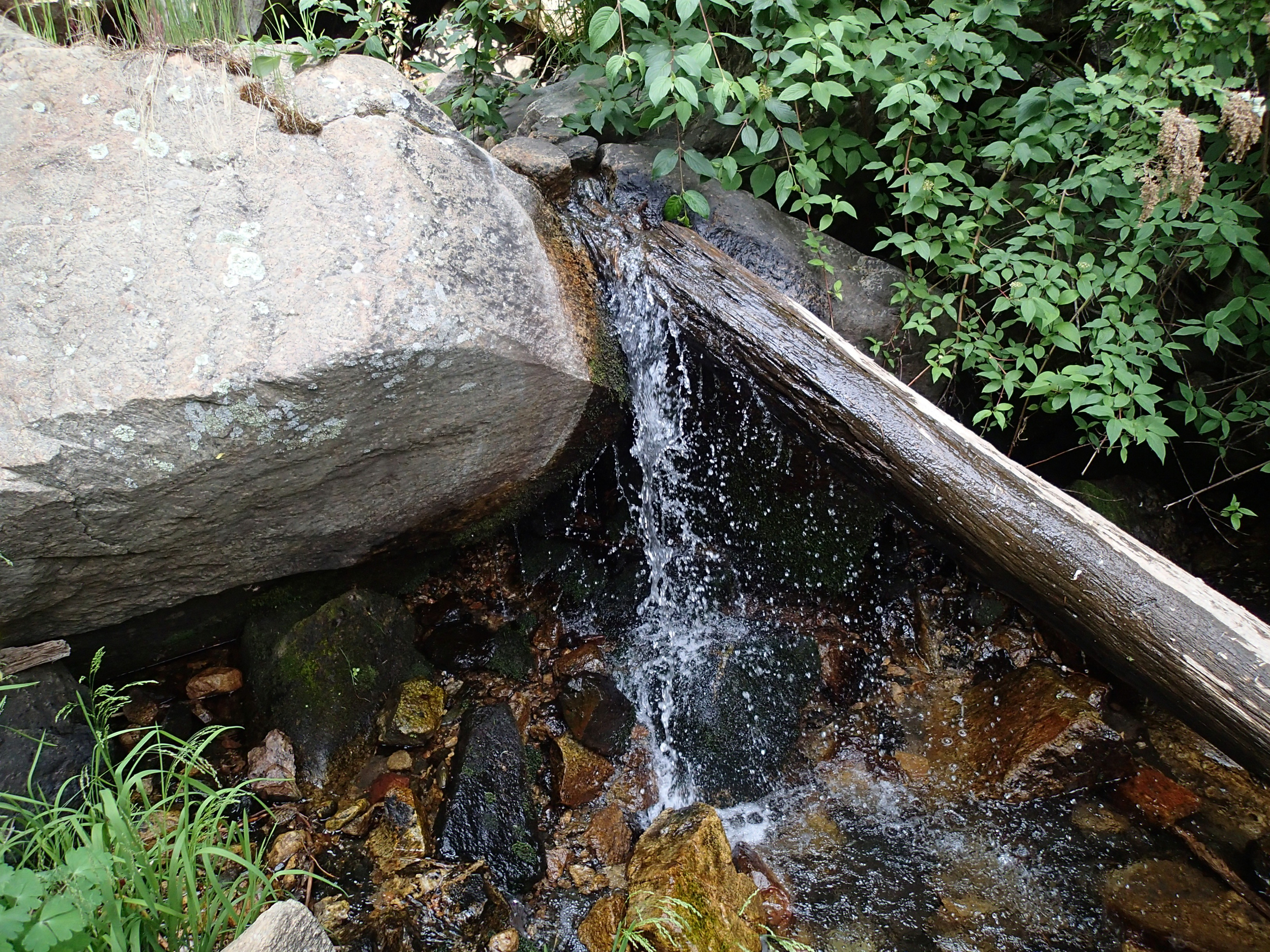
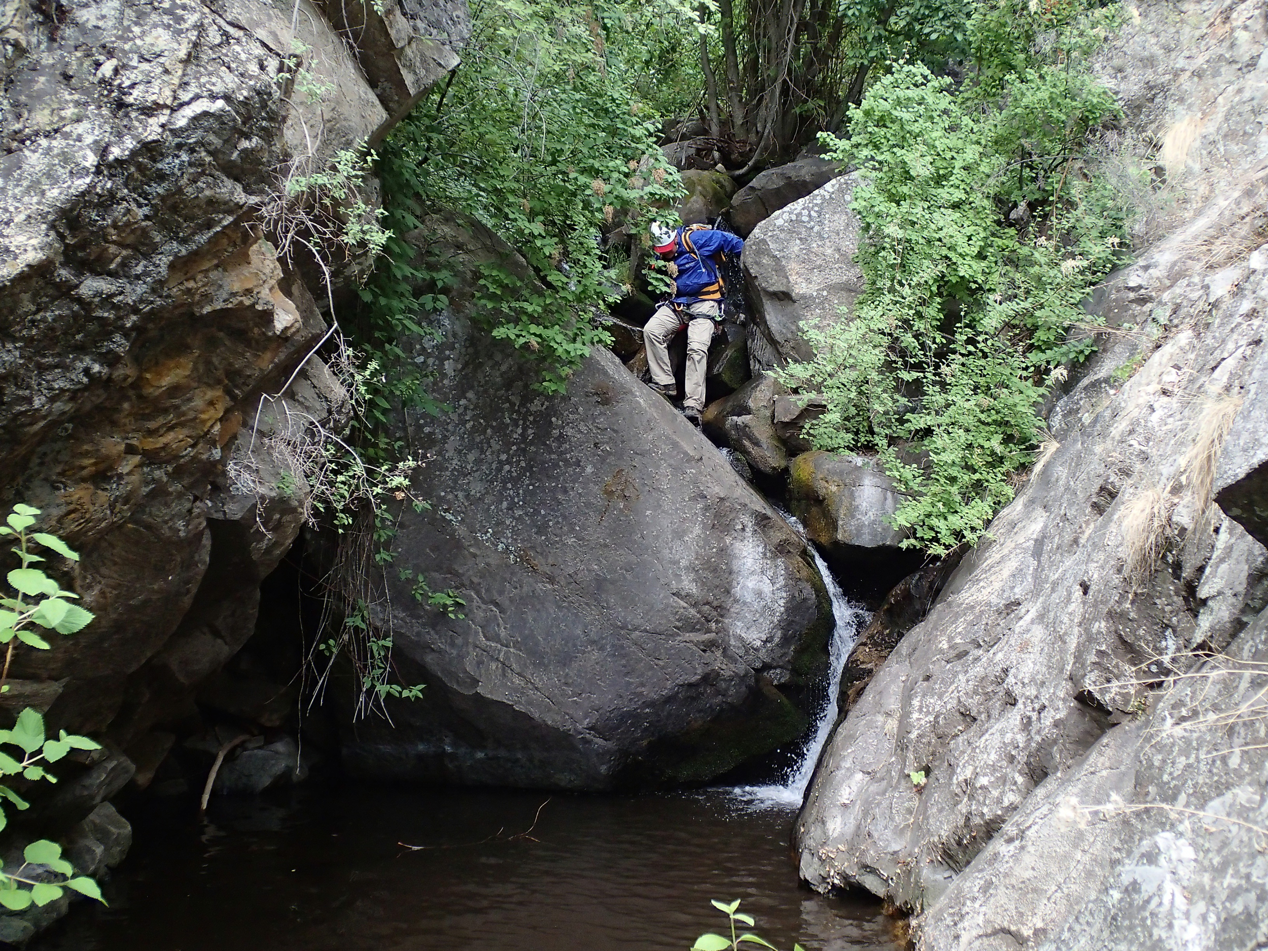
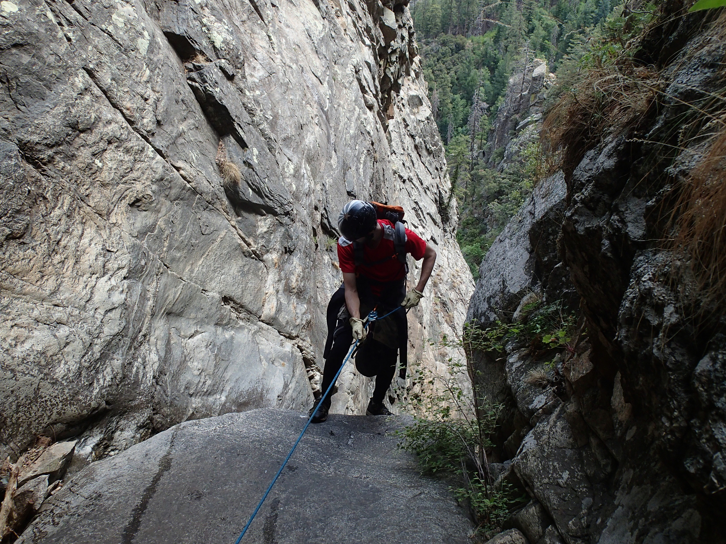
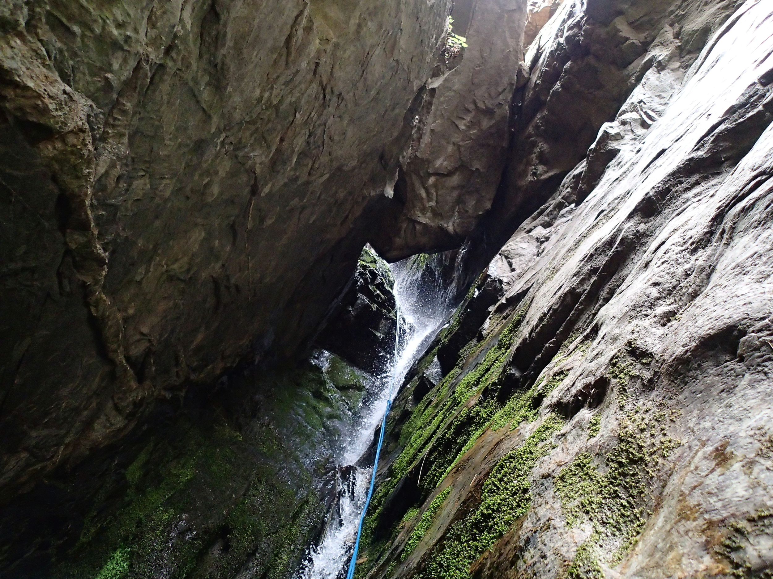
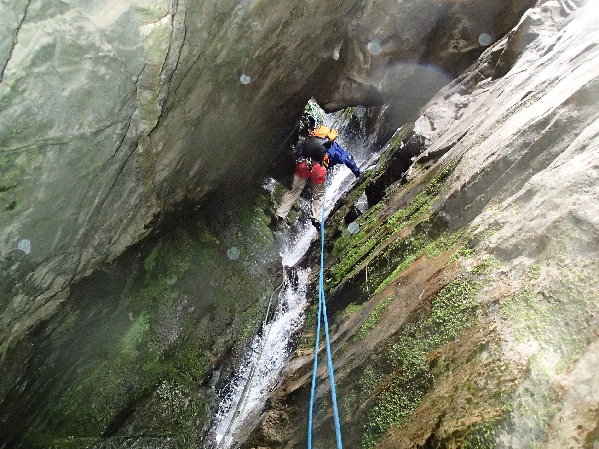
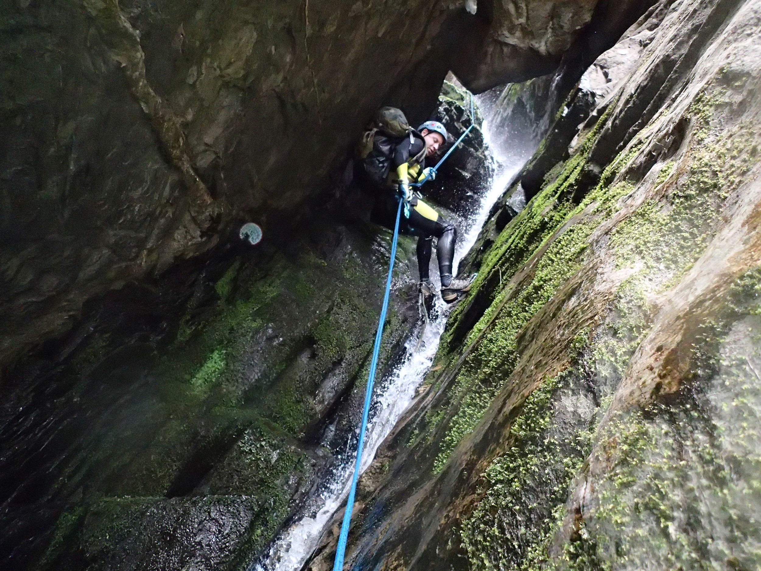
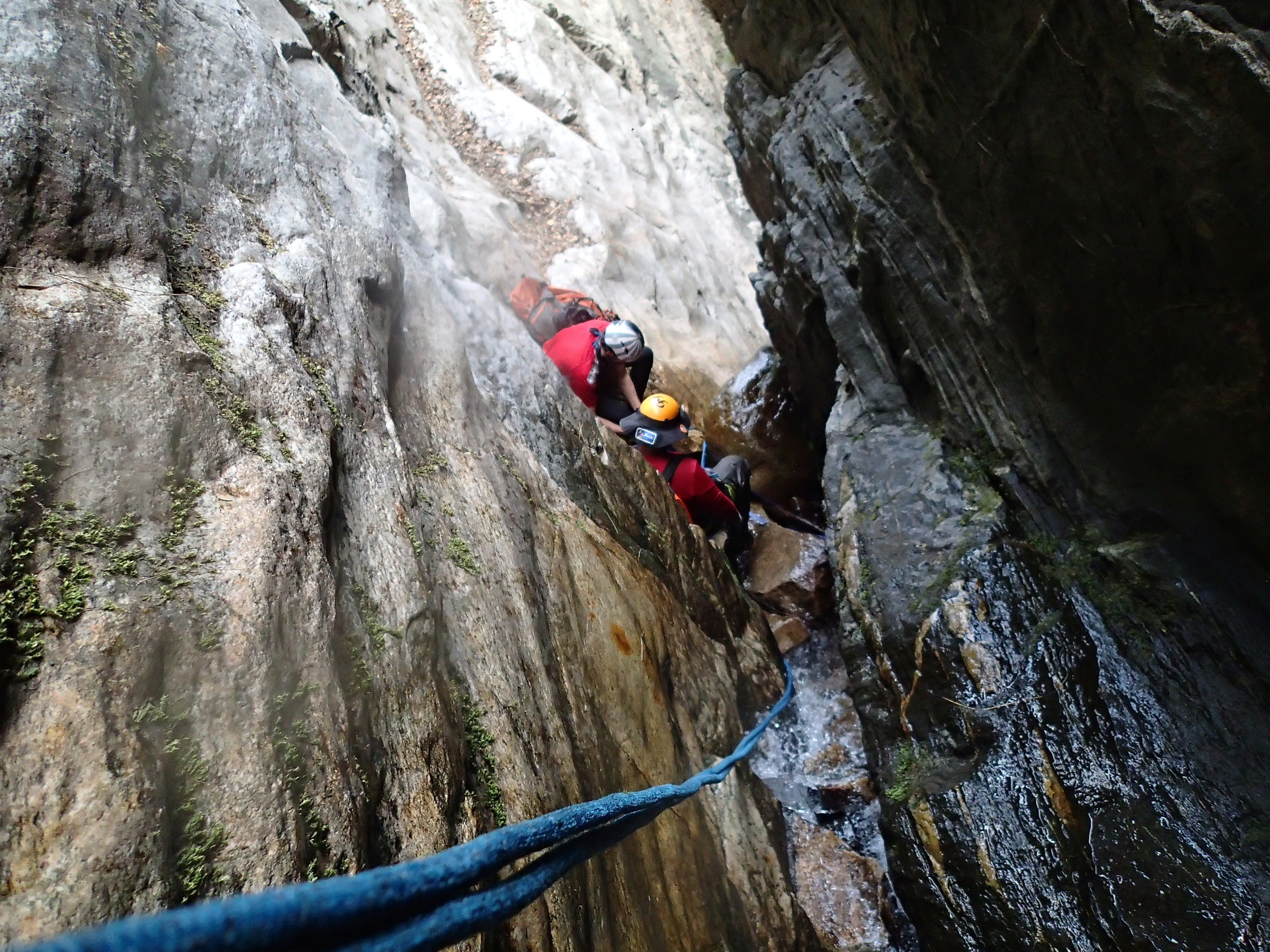
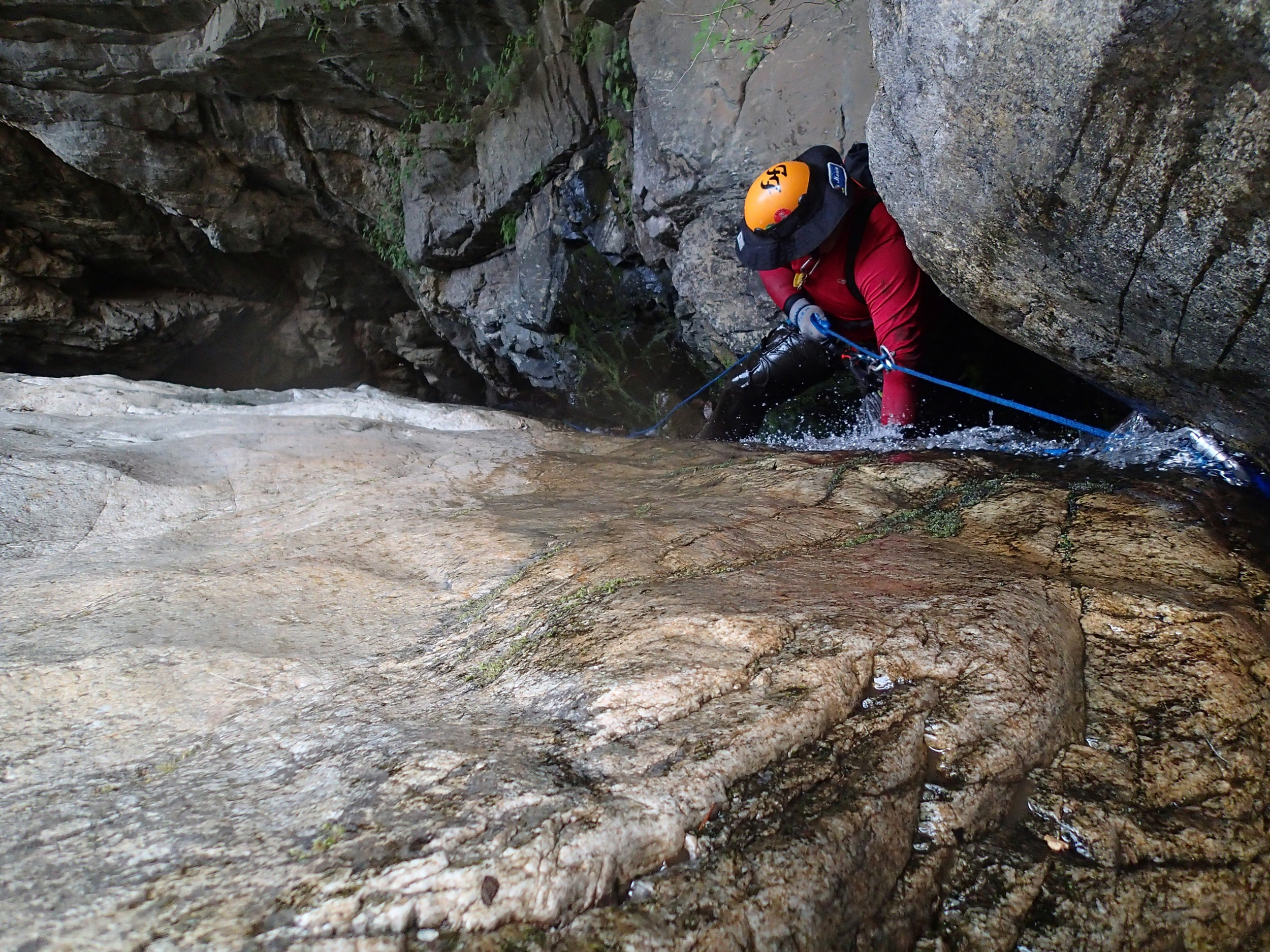
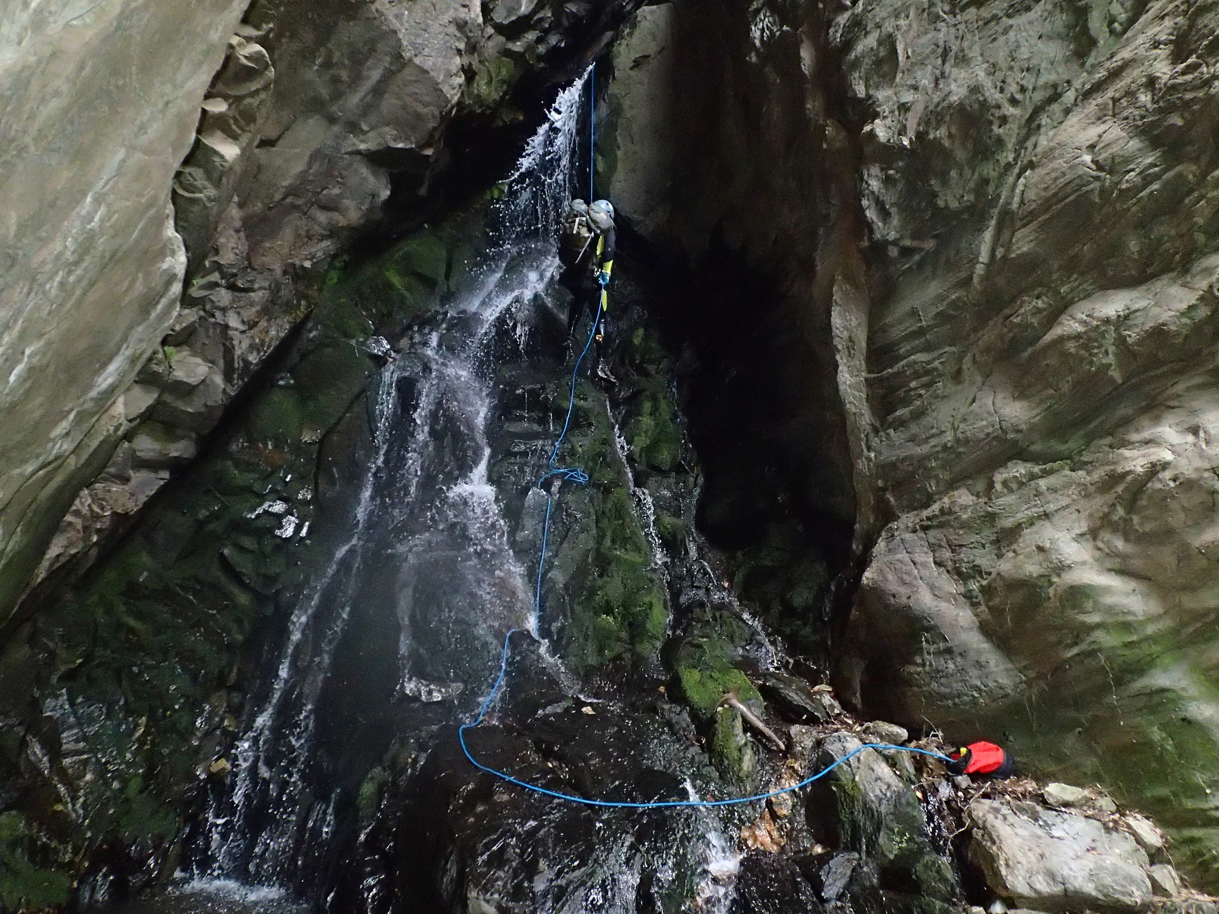
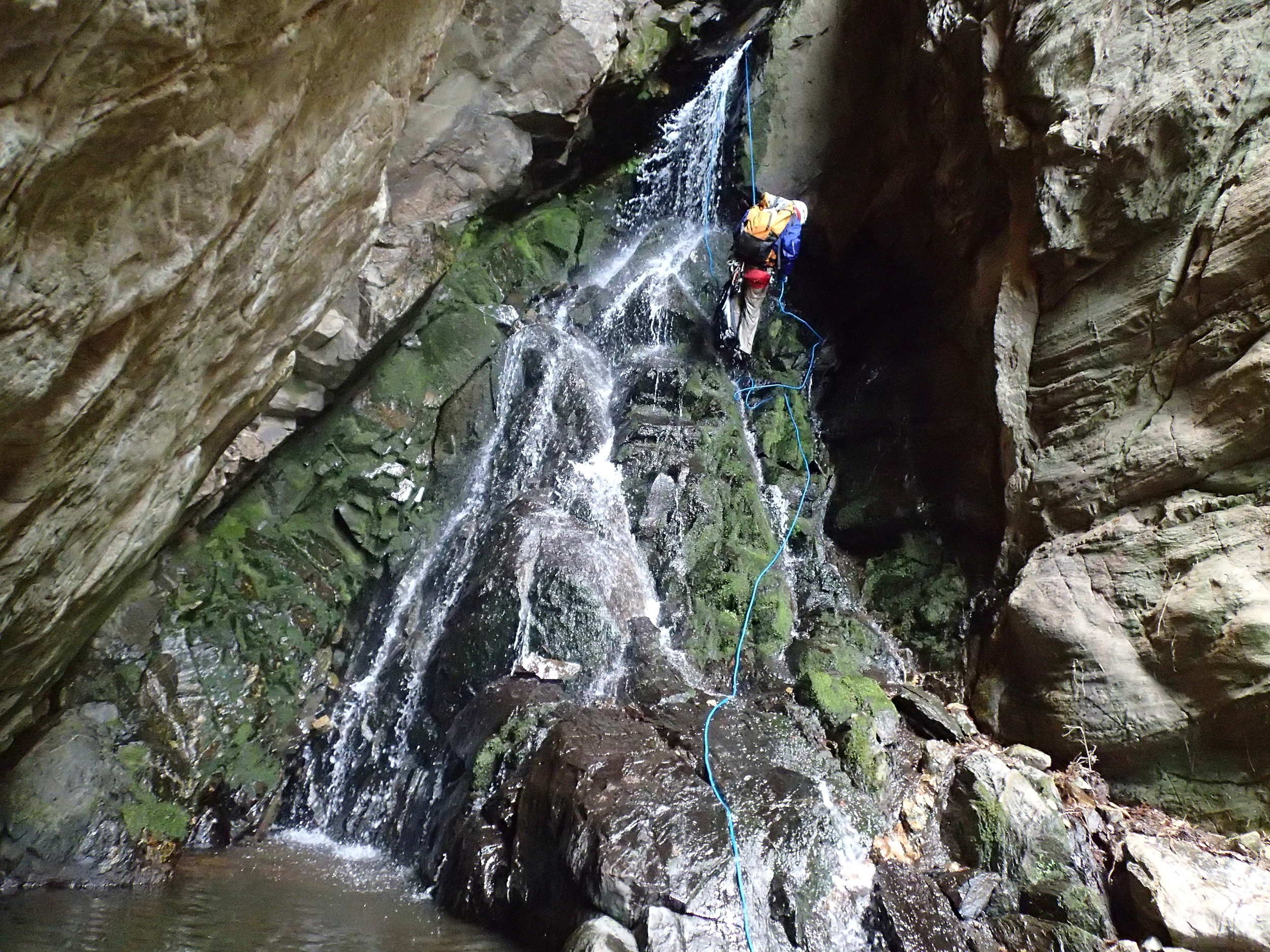
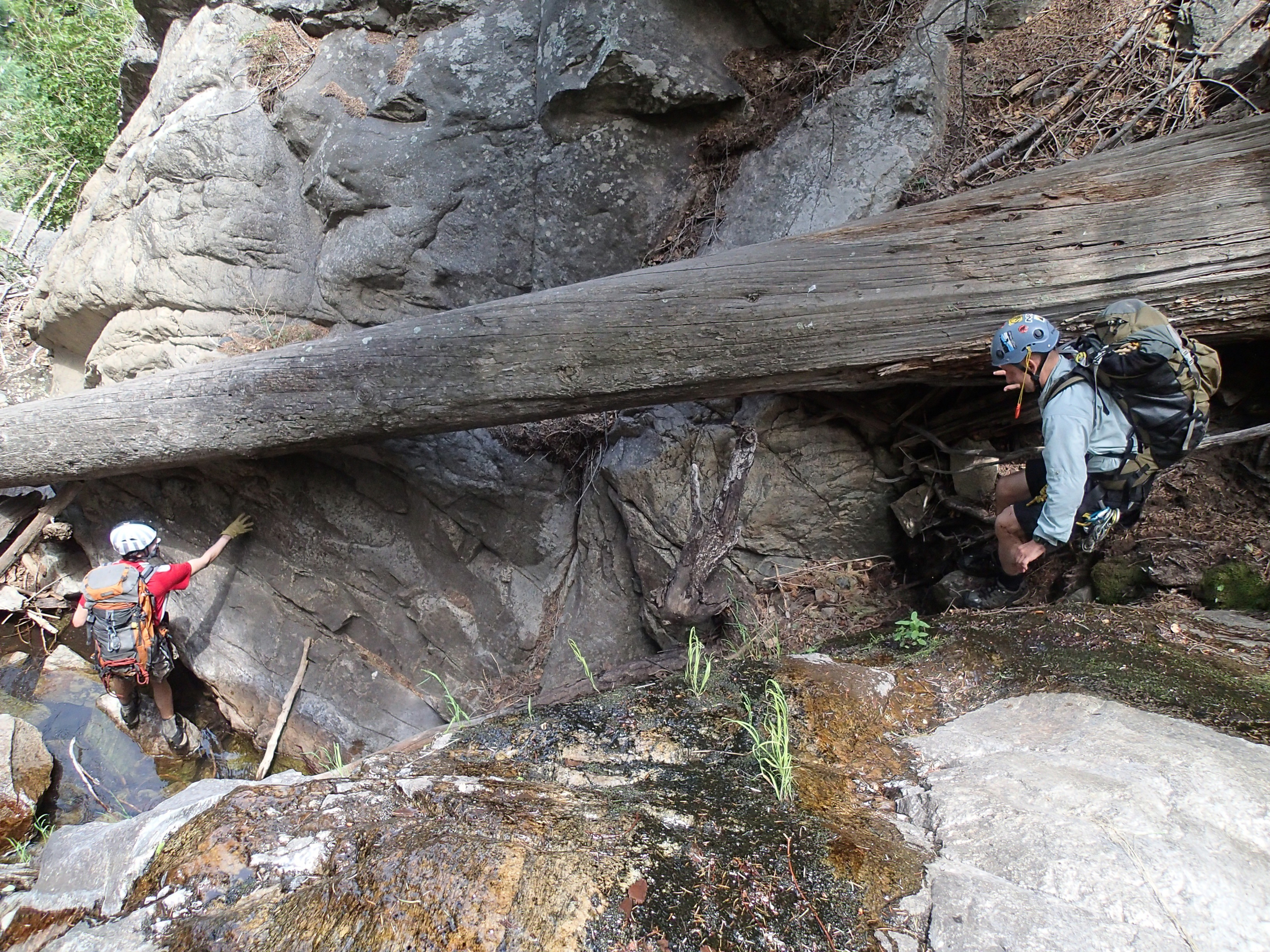
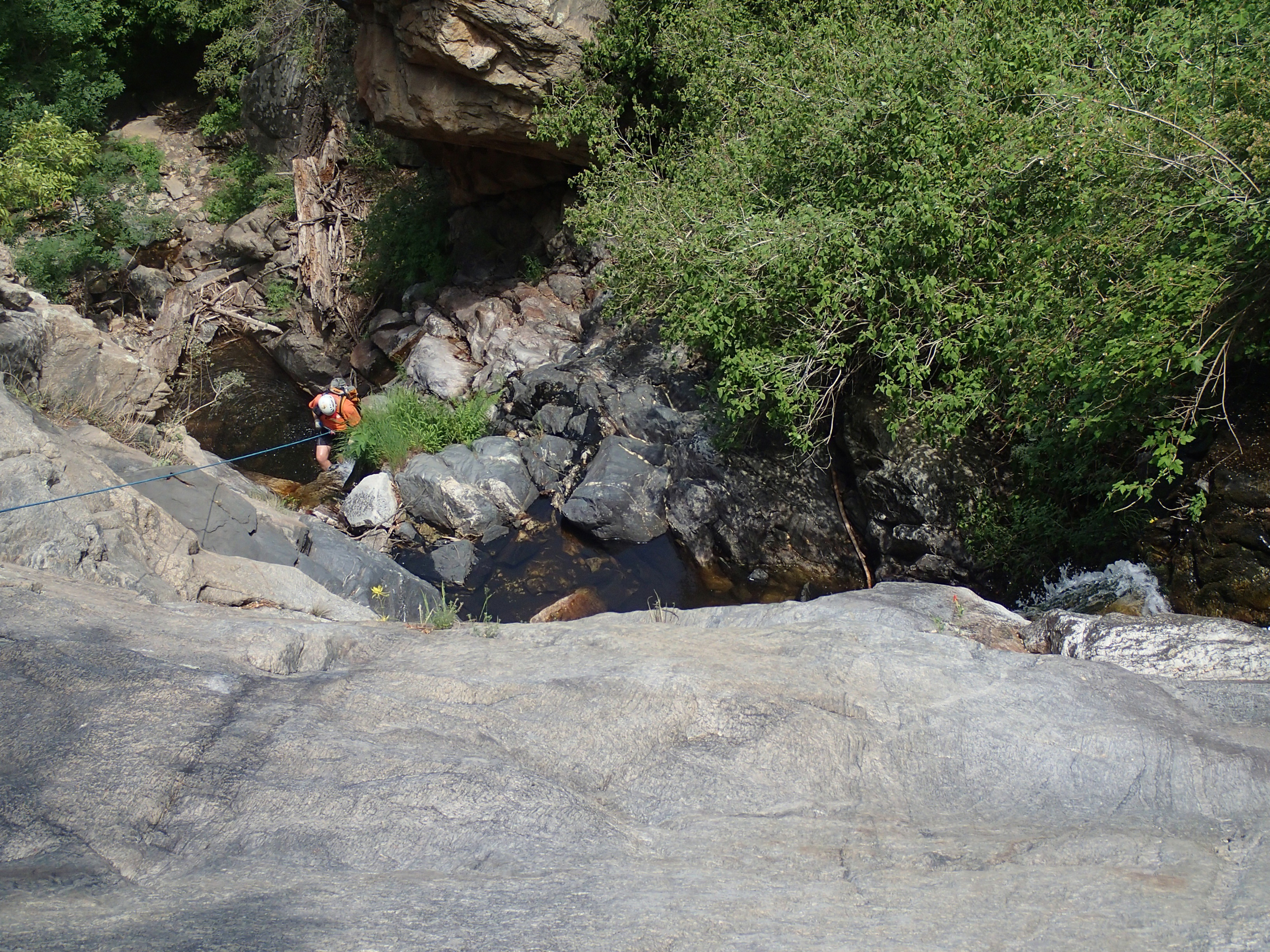
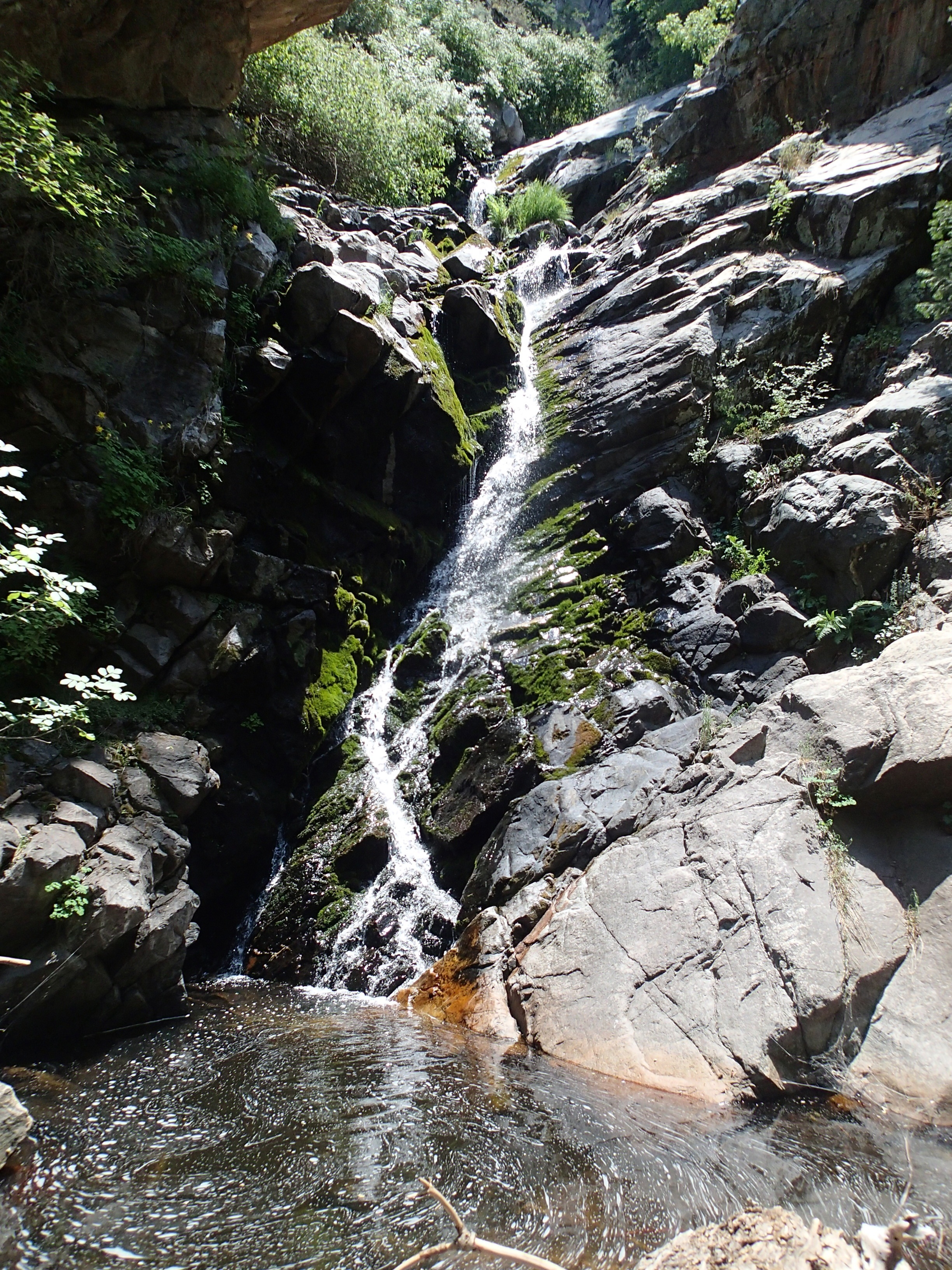
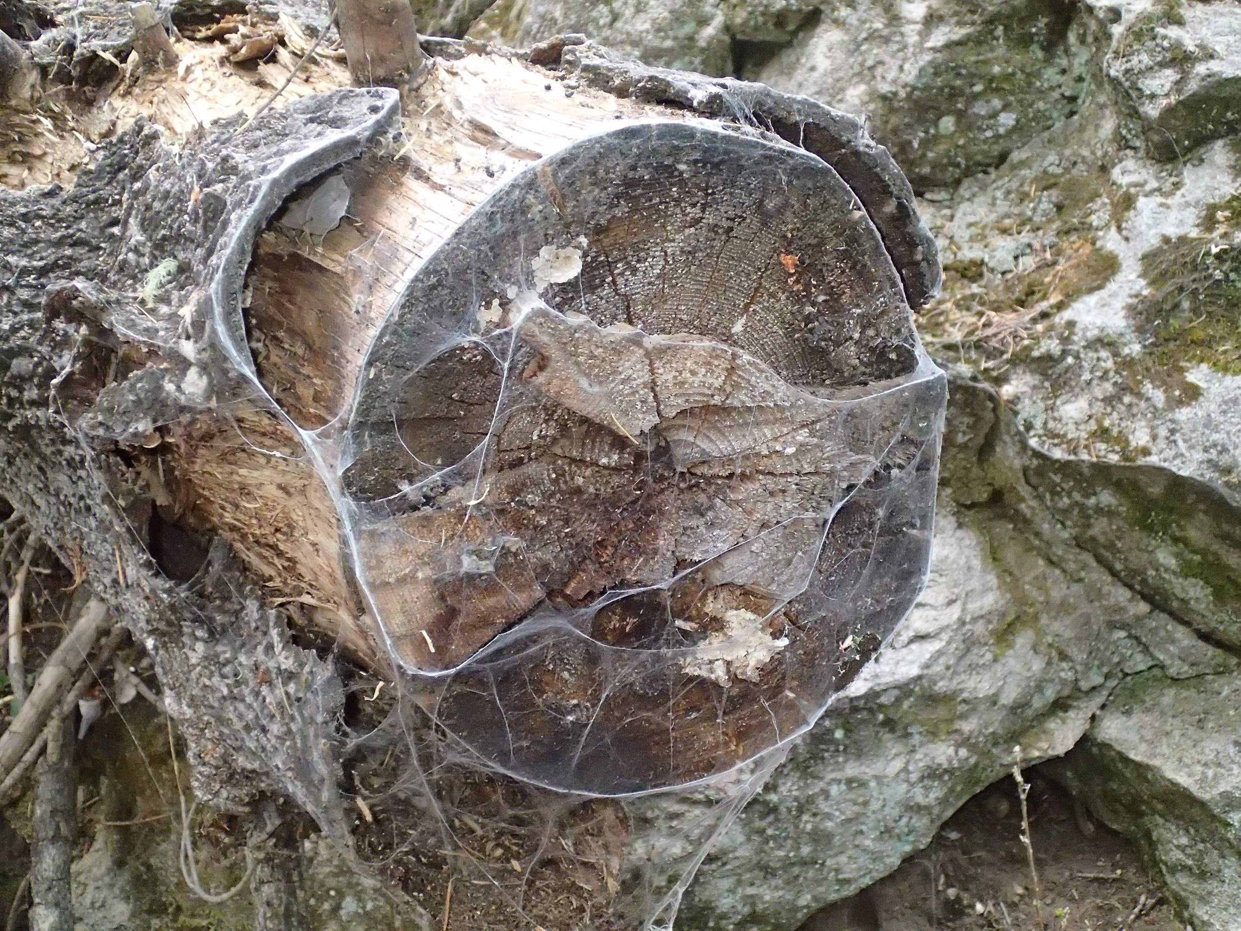
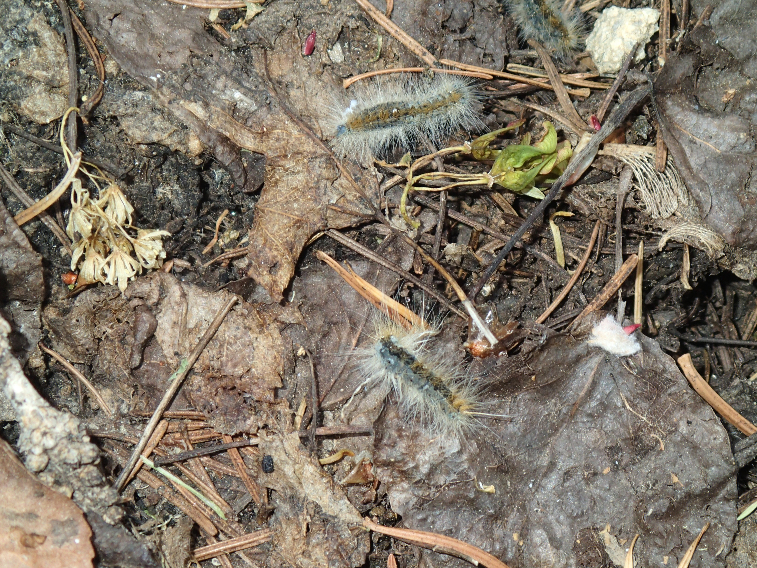
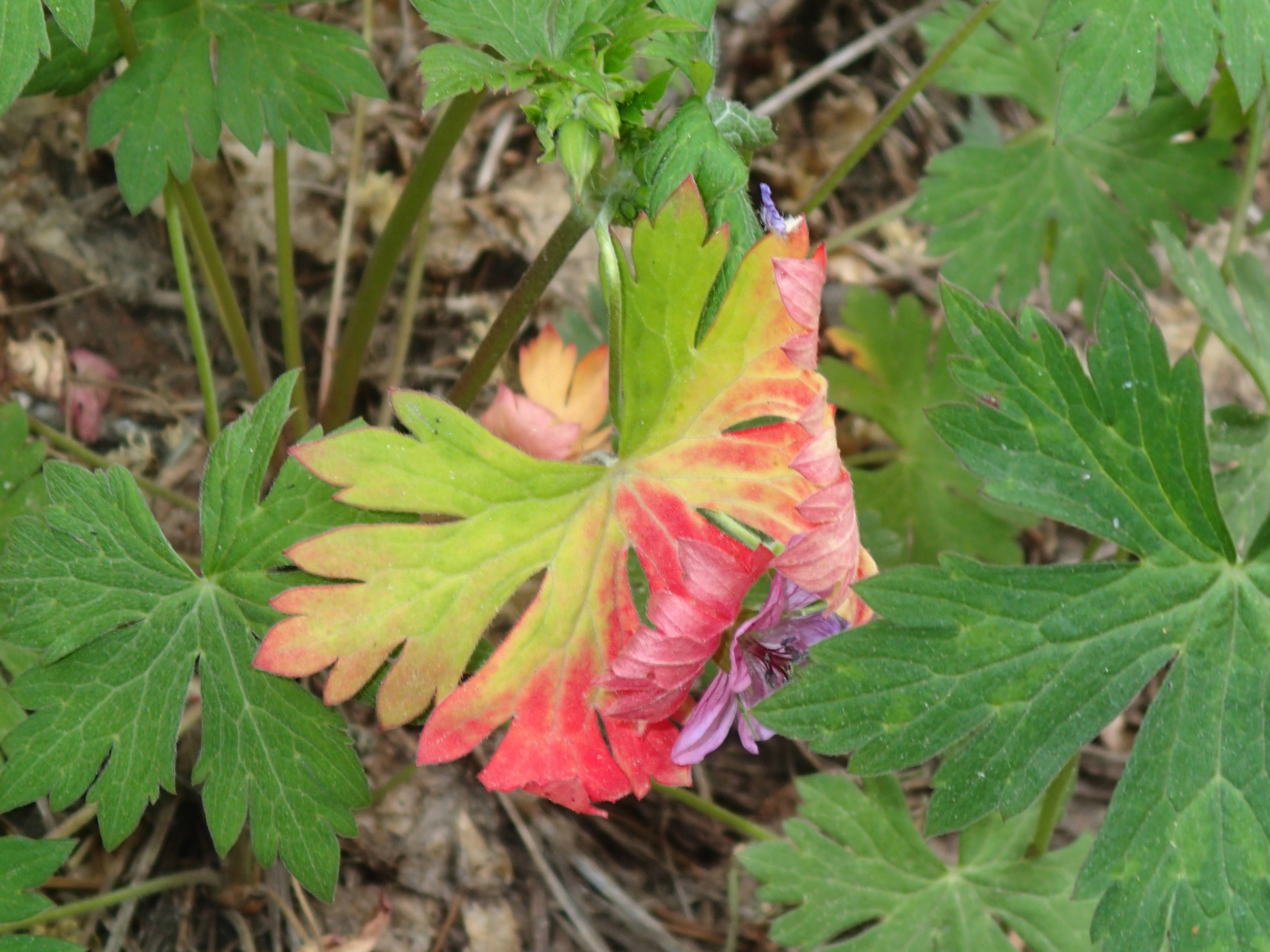
Ash Creek Canyon in Arizona's Coronado National Forest was a great trip to mount Graham just outside of Safford where you can expect a beautiful forest to beat the heat in the dead of summer. It was 115 in Phoenix the day we went and it might have got up to 80 up at camp. Starting out of camp it was a nice and easy hike down the well defined trail to the Slick Rock section where you divert into Ash Creek for a trip through the technical section. As you hike in, you will see a trail marker pointing left and heading uphill, this is NOT your trail, this is a bypass route for those on horseback who will want to go around the Slick Rock Area. Our group had (2) 200' ropes and (1) 100' rope, more than plenty, but useful in a jam. We found ourselves quickly at the first rappel and even more quickly covered in ants. The first rappel was straight forward and had a dry landing the day we went. Once we arrived at the second rap we decided to get our wetsuits on and head down the the stages of rappels that make up rap 2, 3, & 4 (depending of course on how you approach it) down the waterfall. Once through this portion of the canyon we decided to remove our suits at the top of rappel 5. Once down five, a loose and slippery down climb was encountered that chewed up one of our guys leg when he tangled with a tree stump, but nothing critical. Once we reached the final rappel of the day we were able to pack our gear and after a short hike down canyon our exit trail was spotted on canyon left. The exit hike was well defined and just as on the way in you will encounter a bypass trail pointing uphill on your right hand side, continue dead ahead and you will soon find yourself back at the Slick Rock entry point and eventually back at camp.
Trip Video
Trip Photos
Interactive Topographical Map

GPS Download

Printable Map