

Rock Creek Canyon, AZ
Location: Arizona, Mazatzal Mountains
Rating: 3B-III
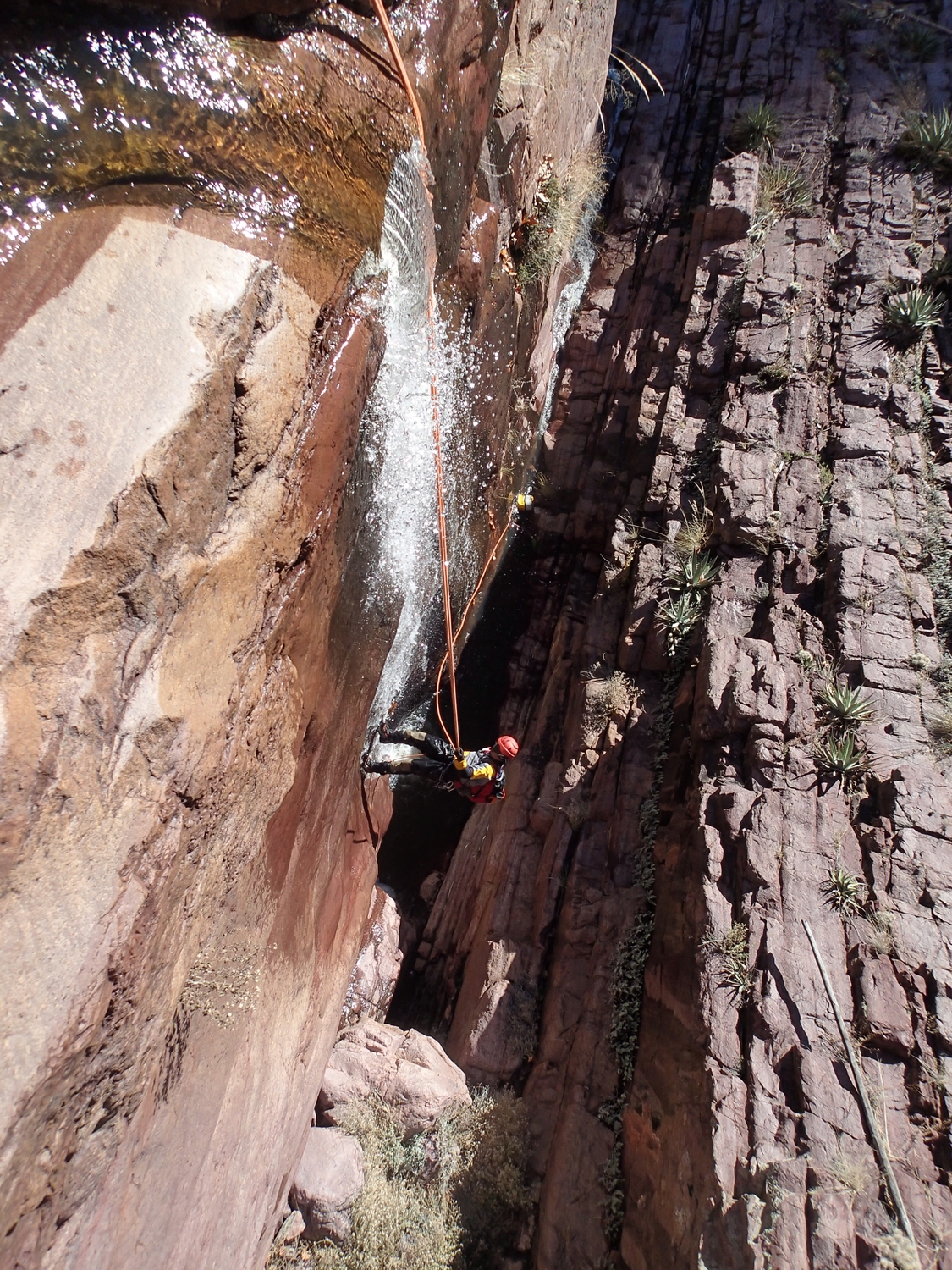
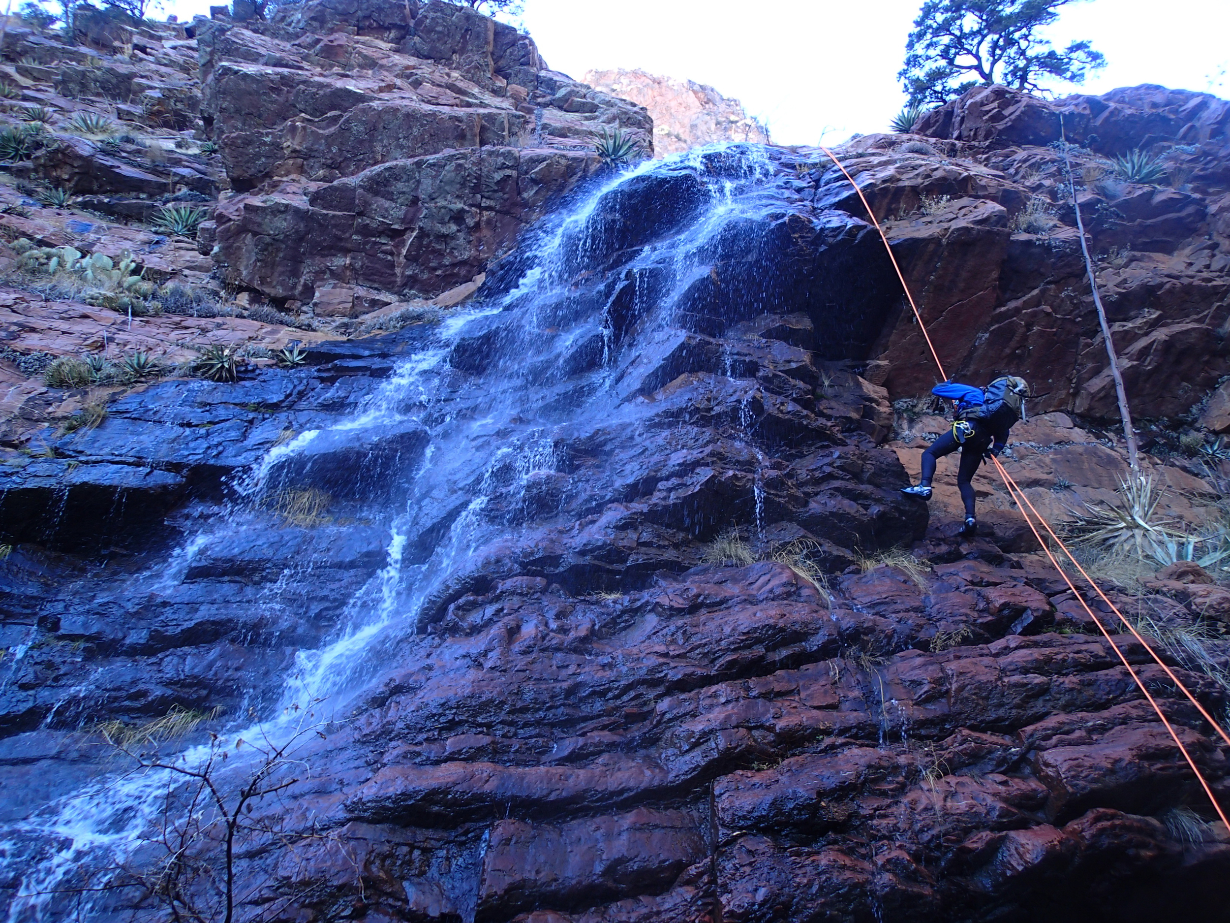
Longest Rappel: ≈ 180'
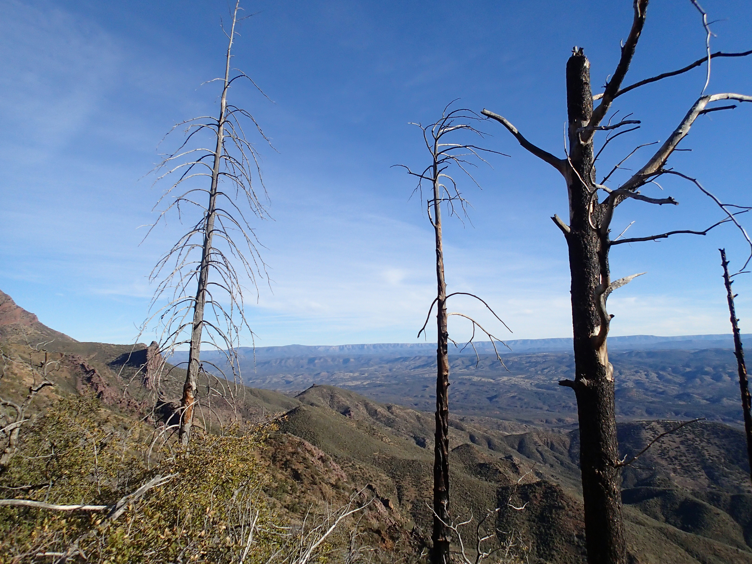
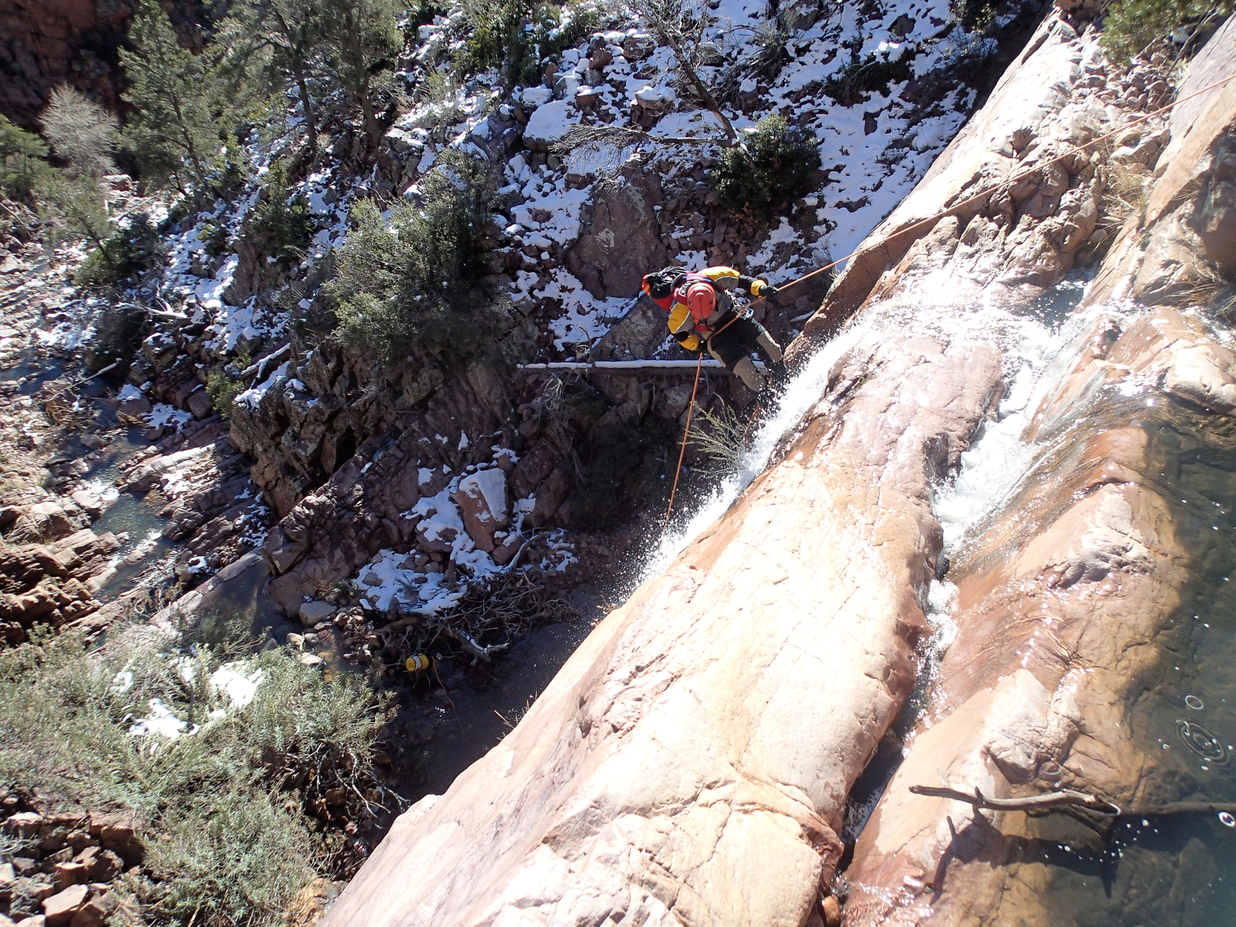
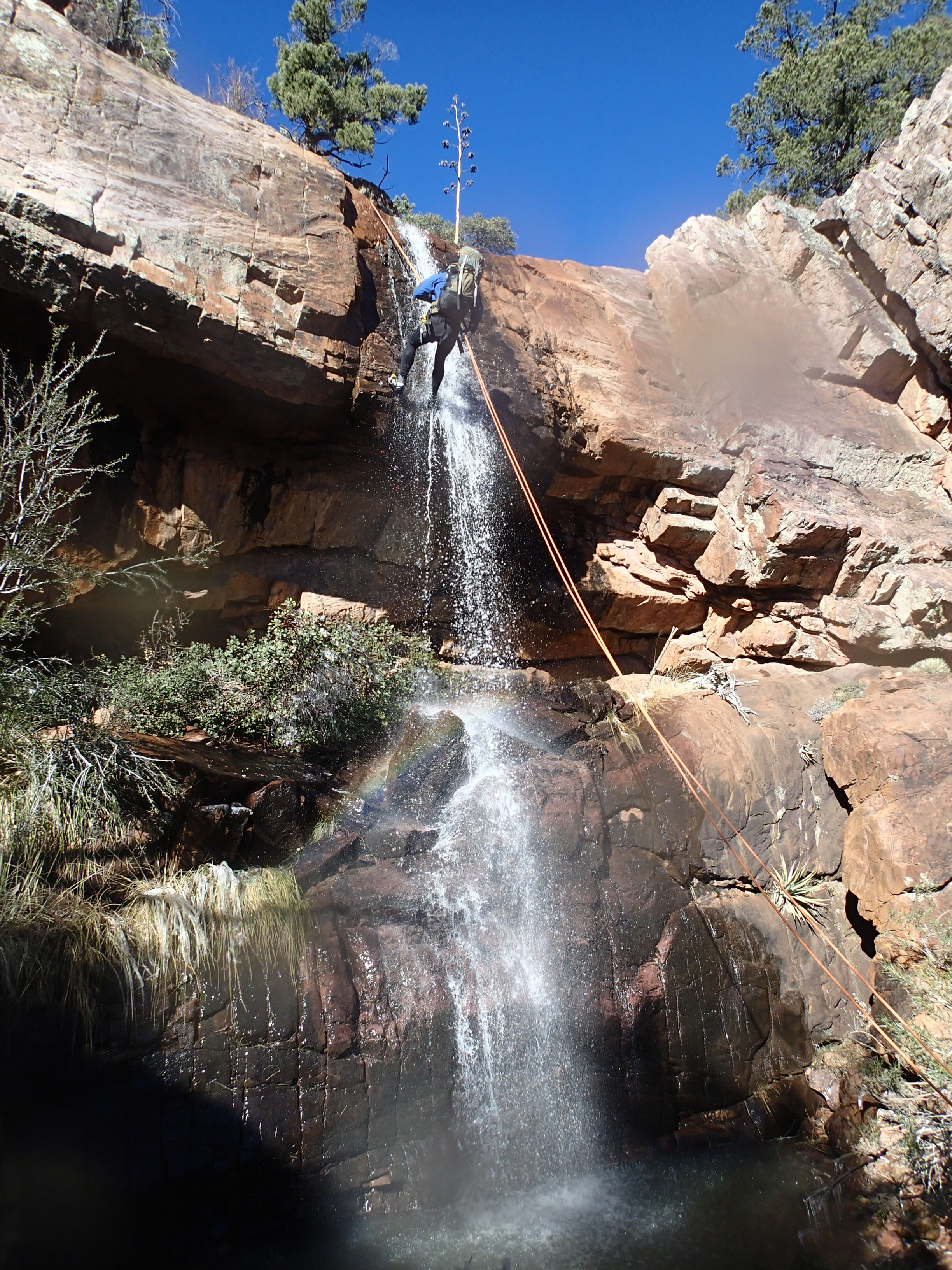
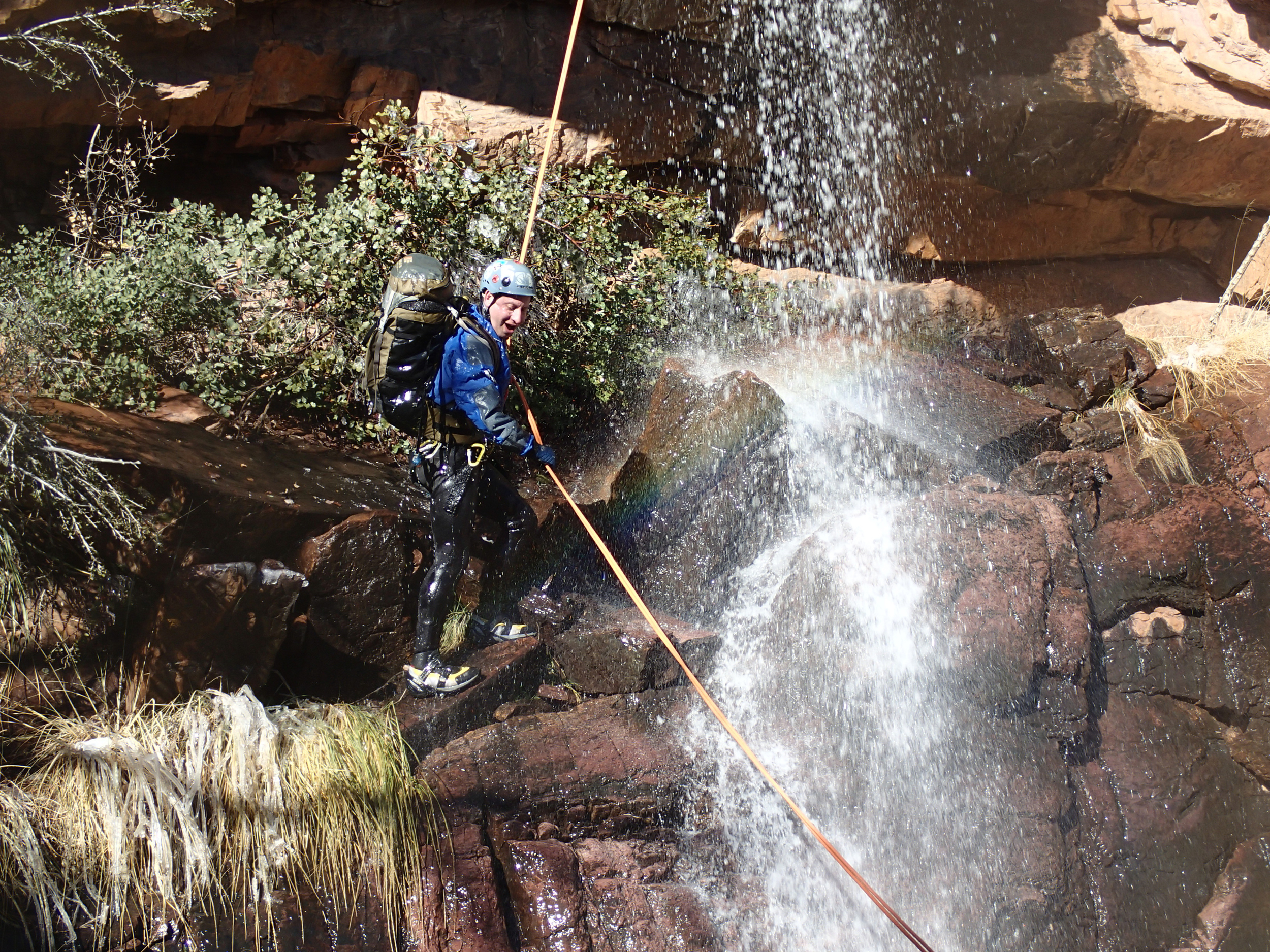
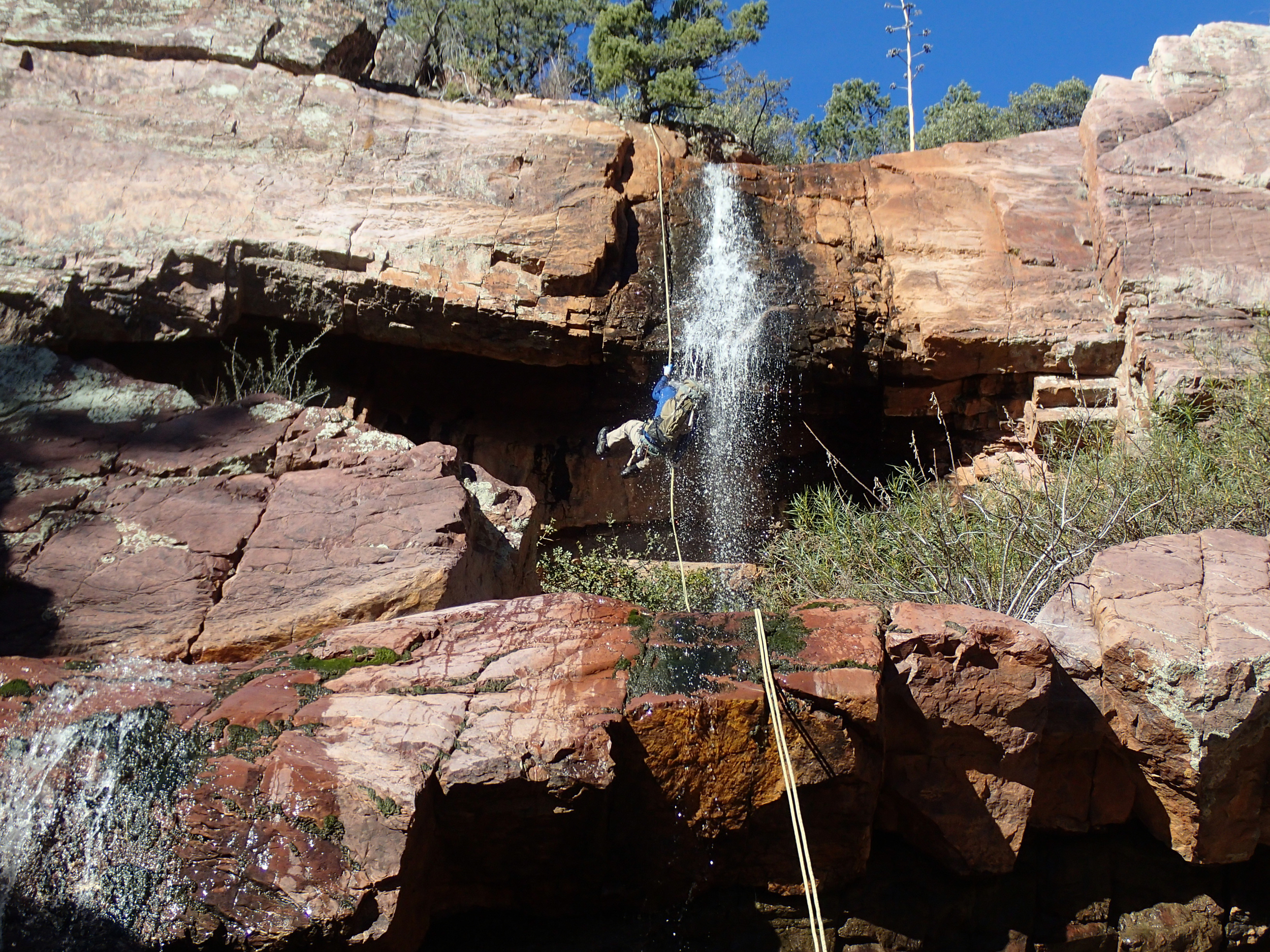
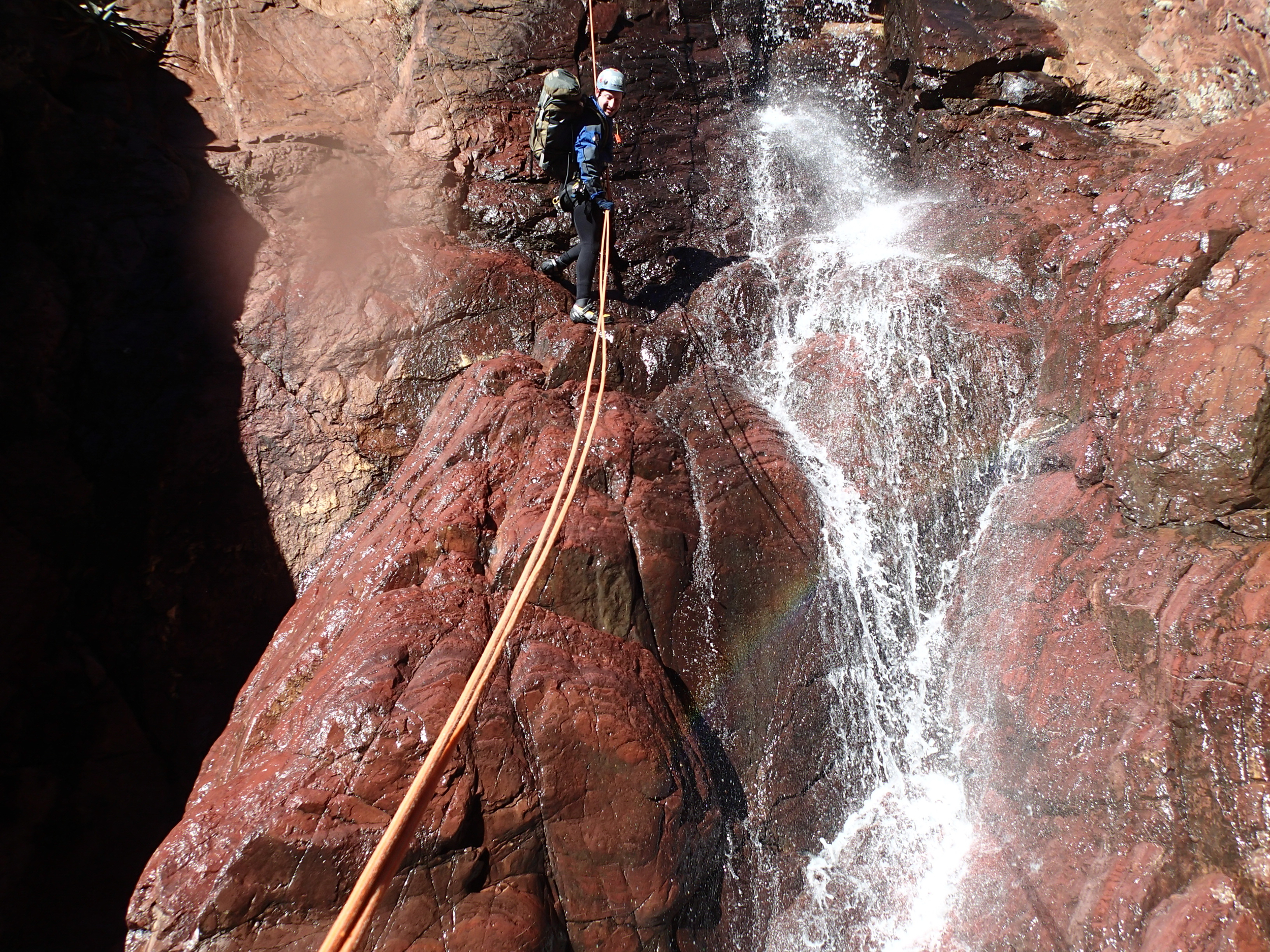
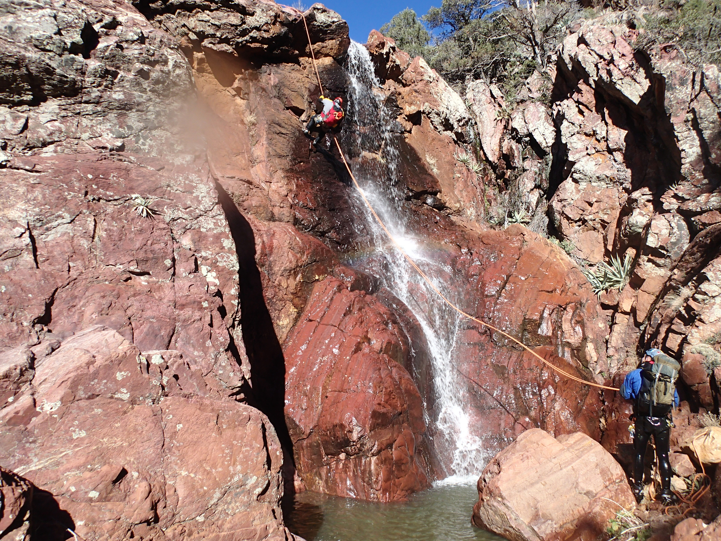
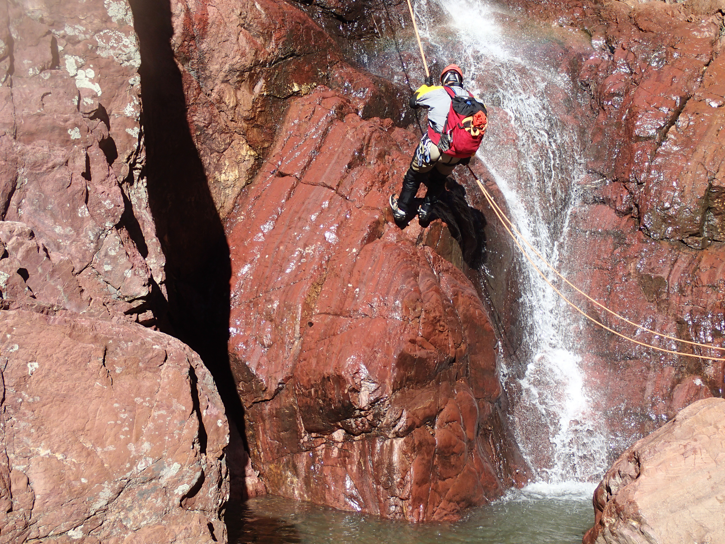
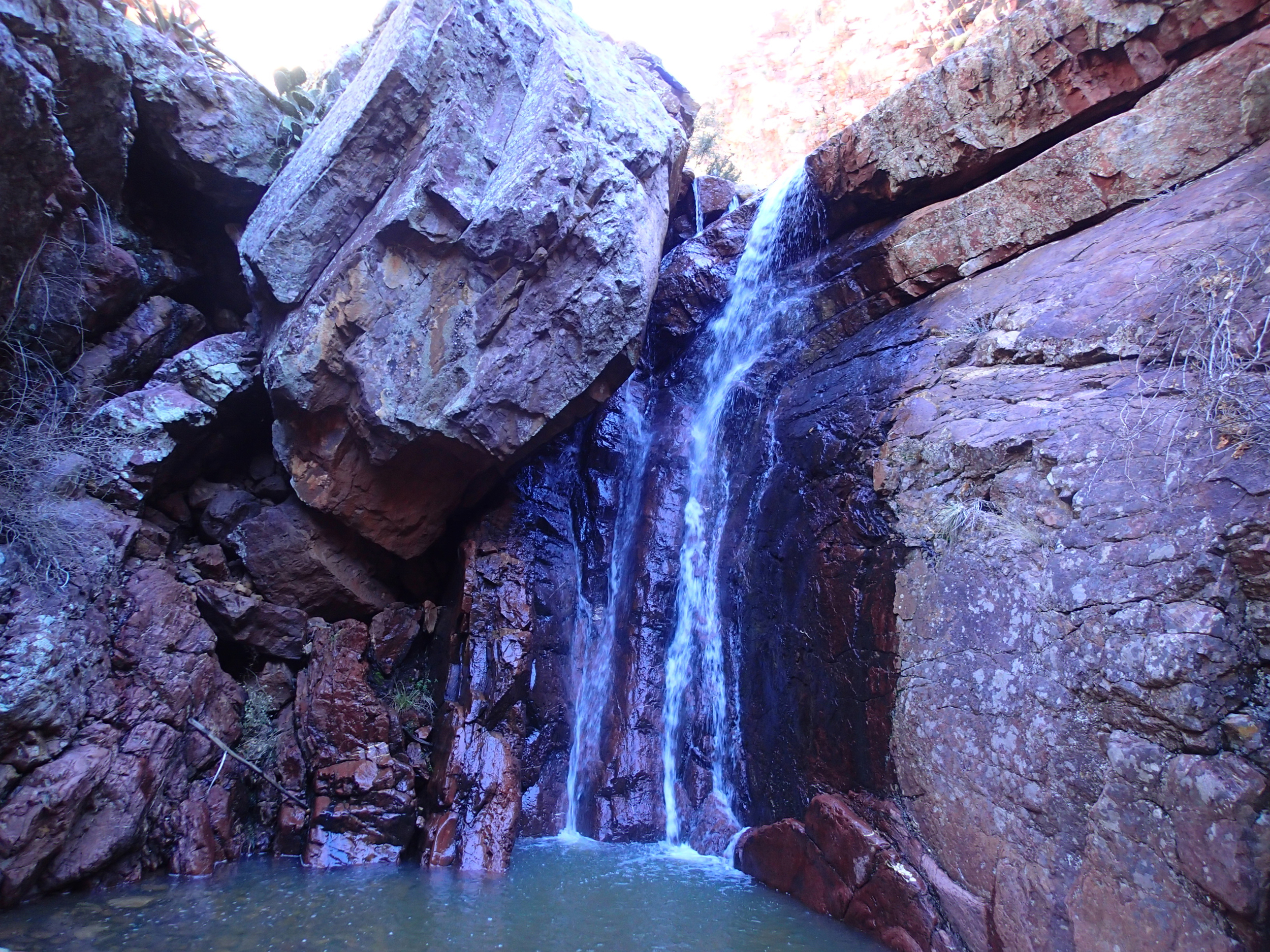
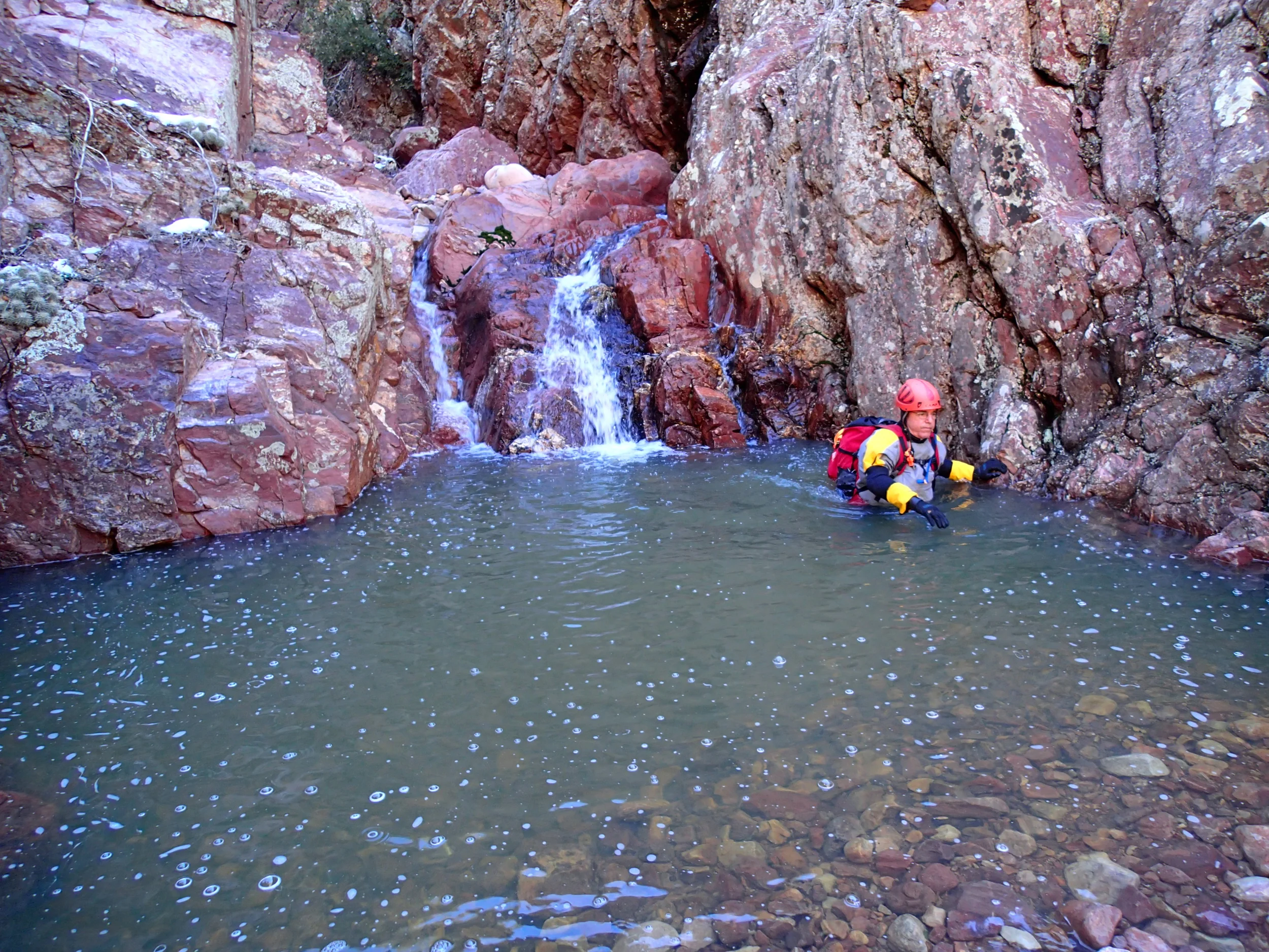
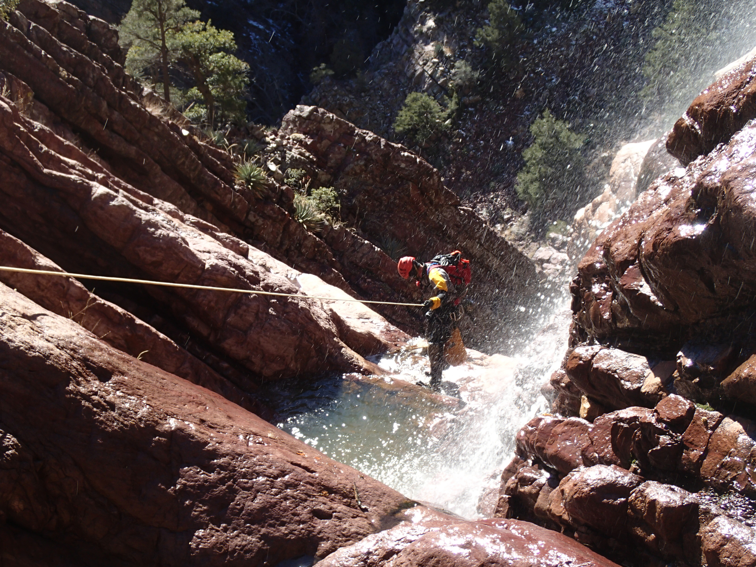
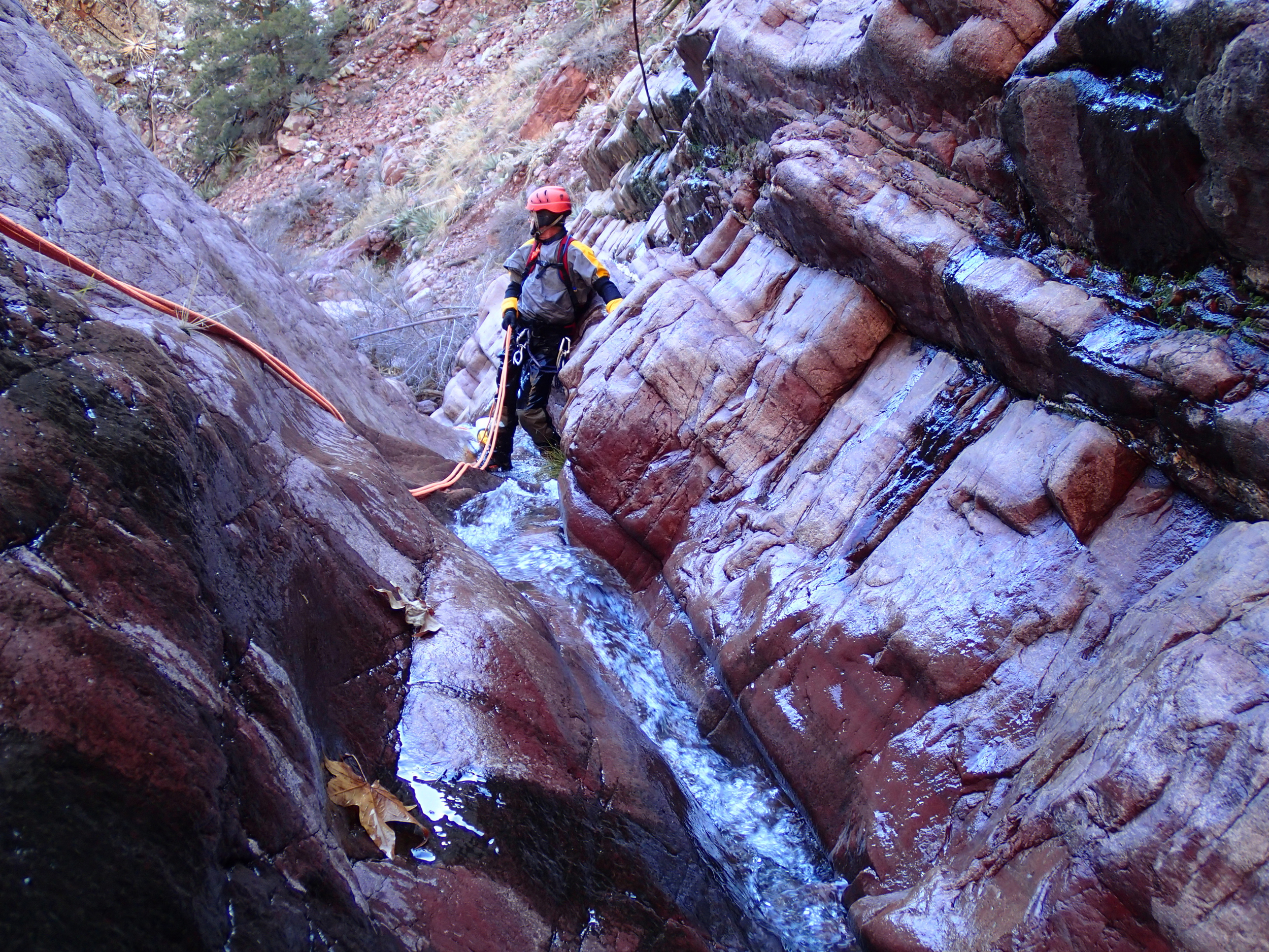
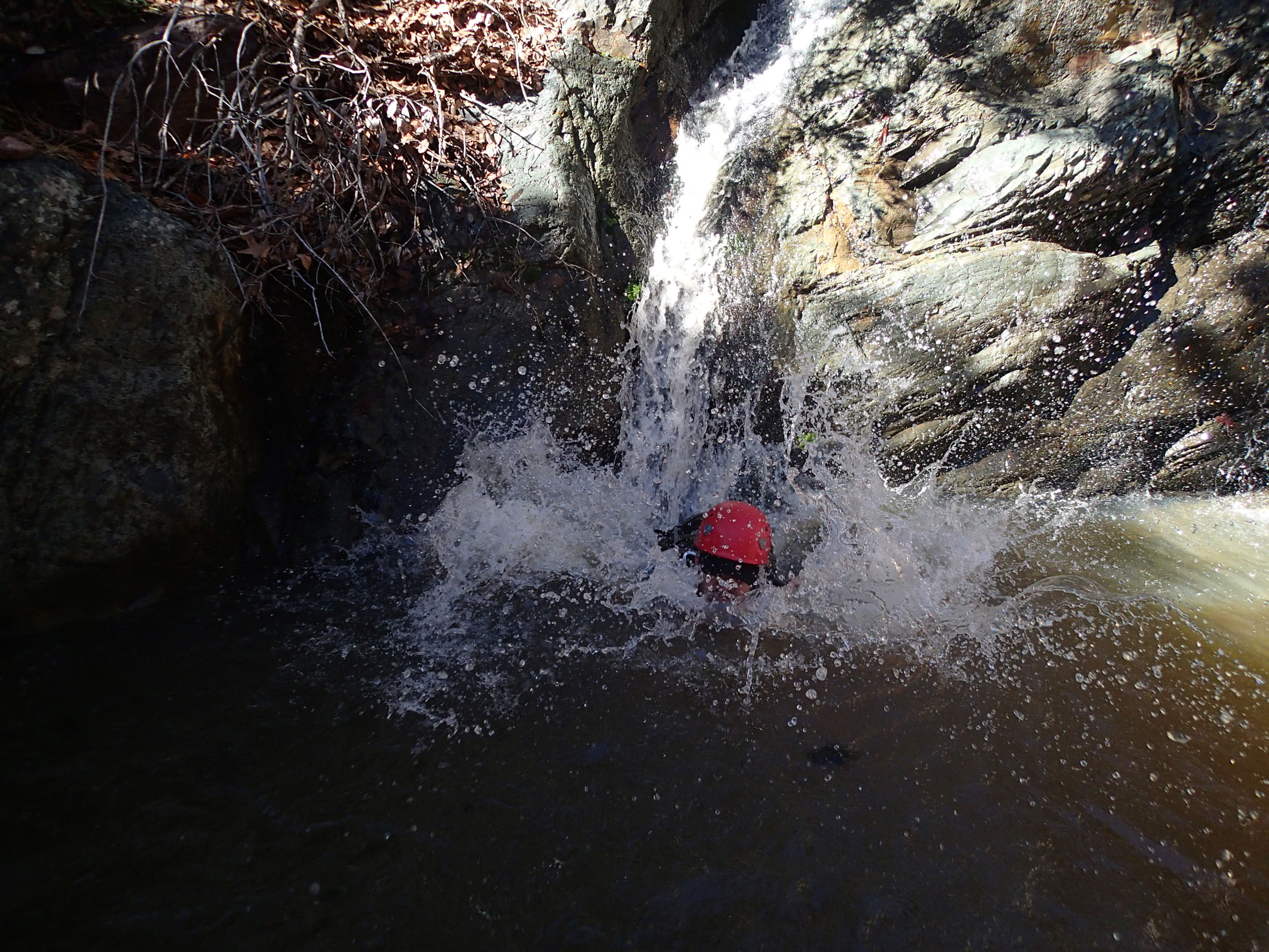
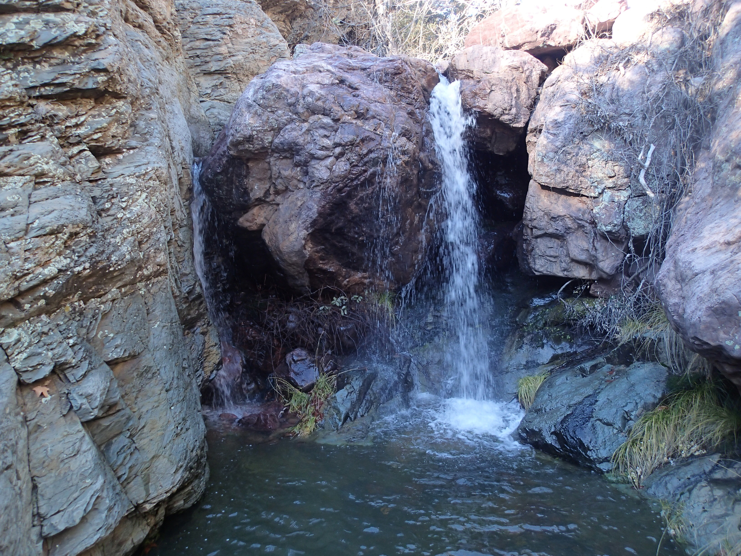
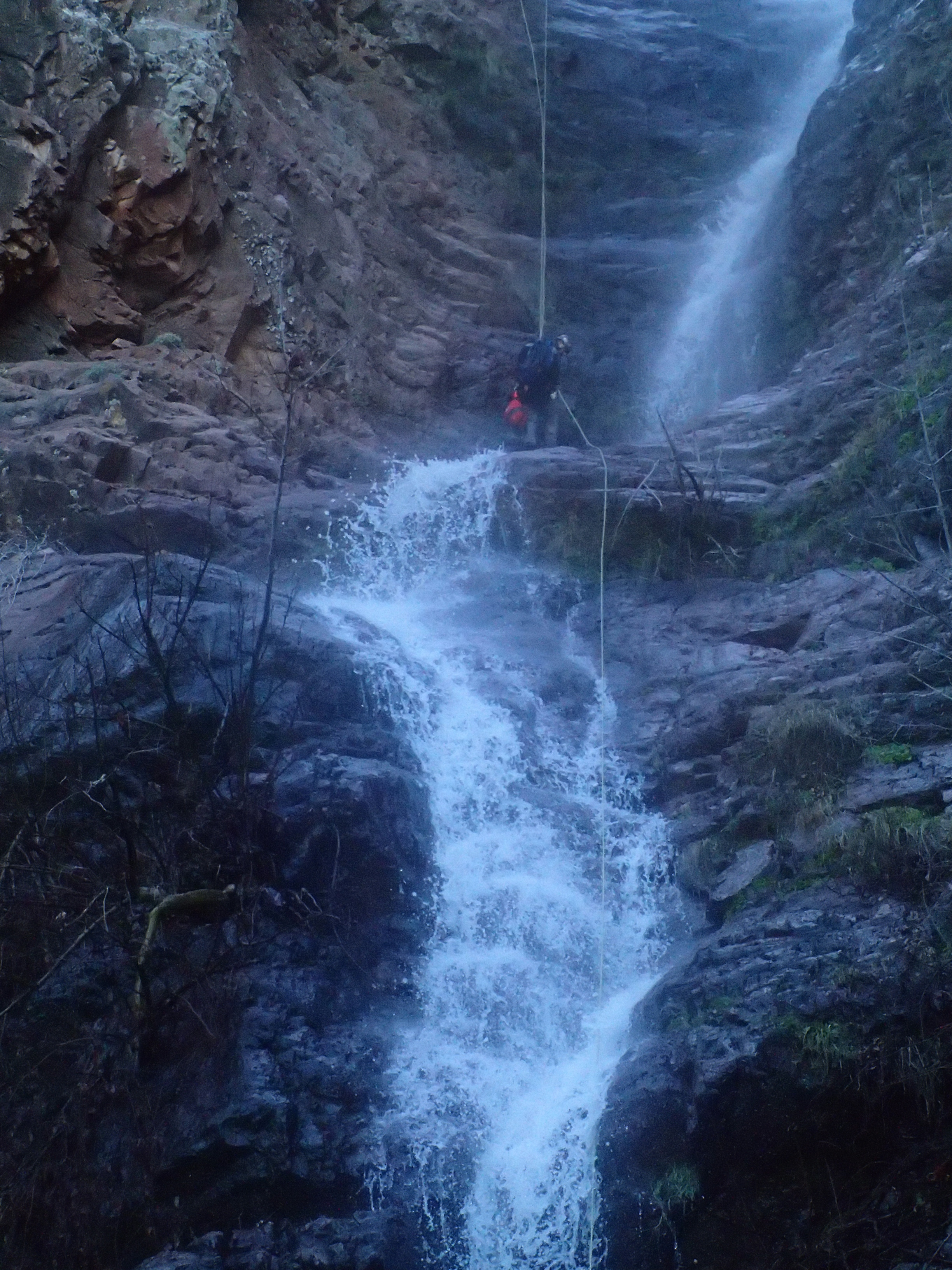
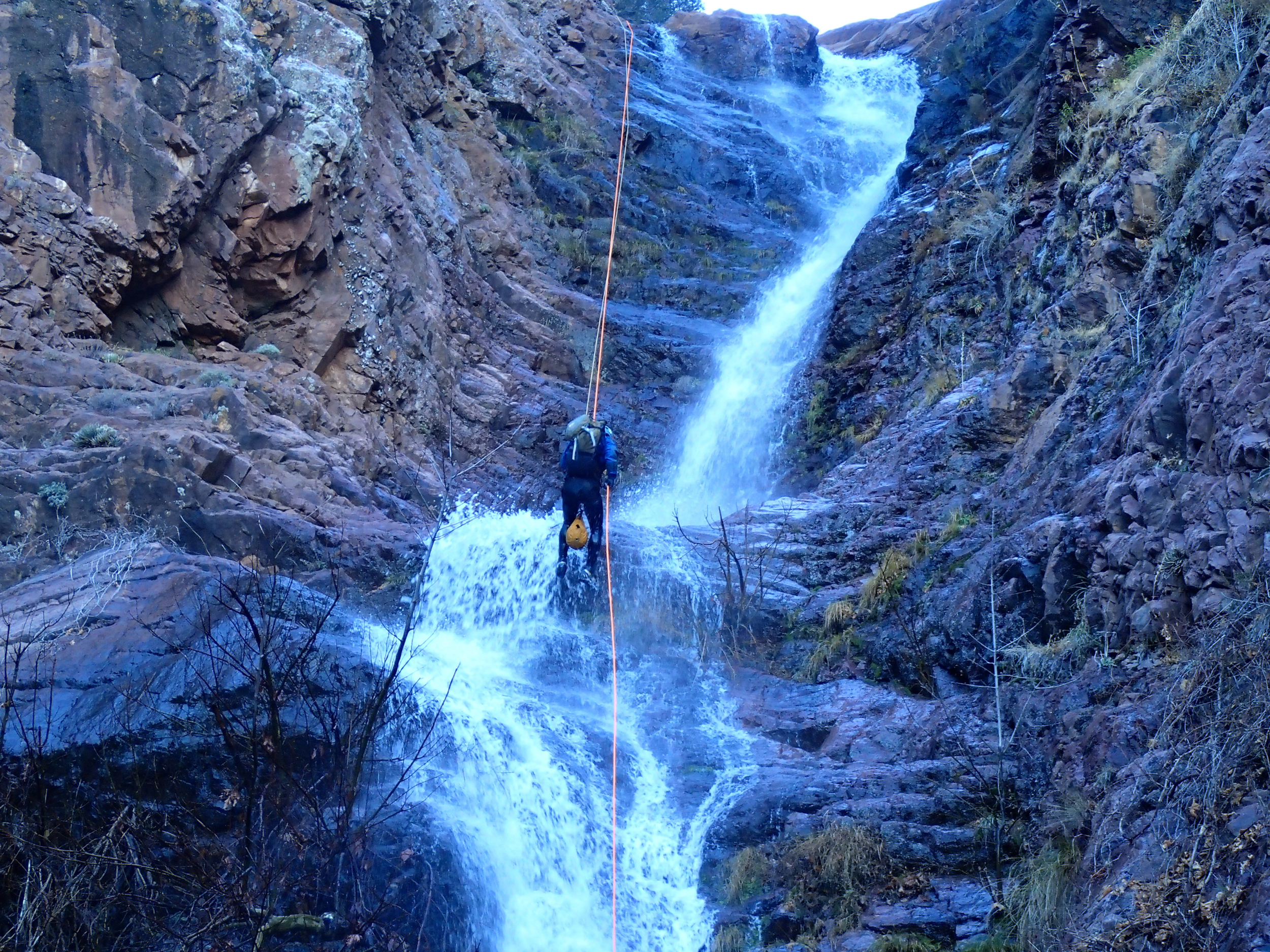
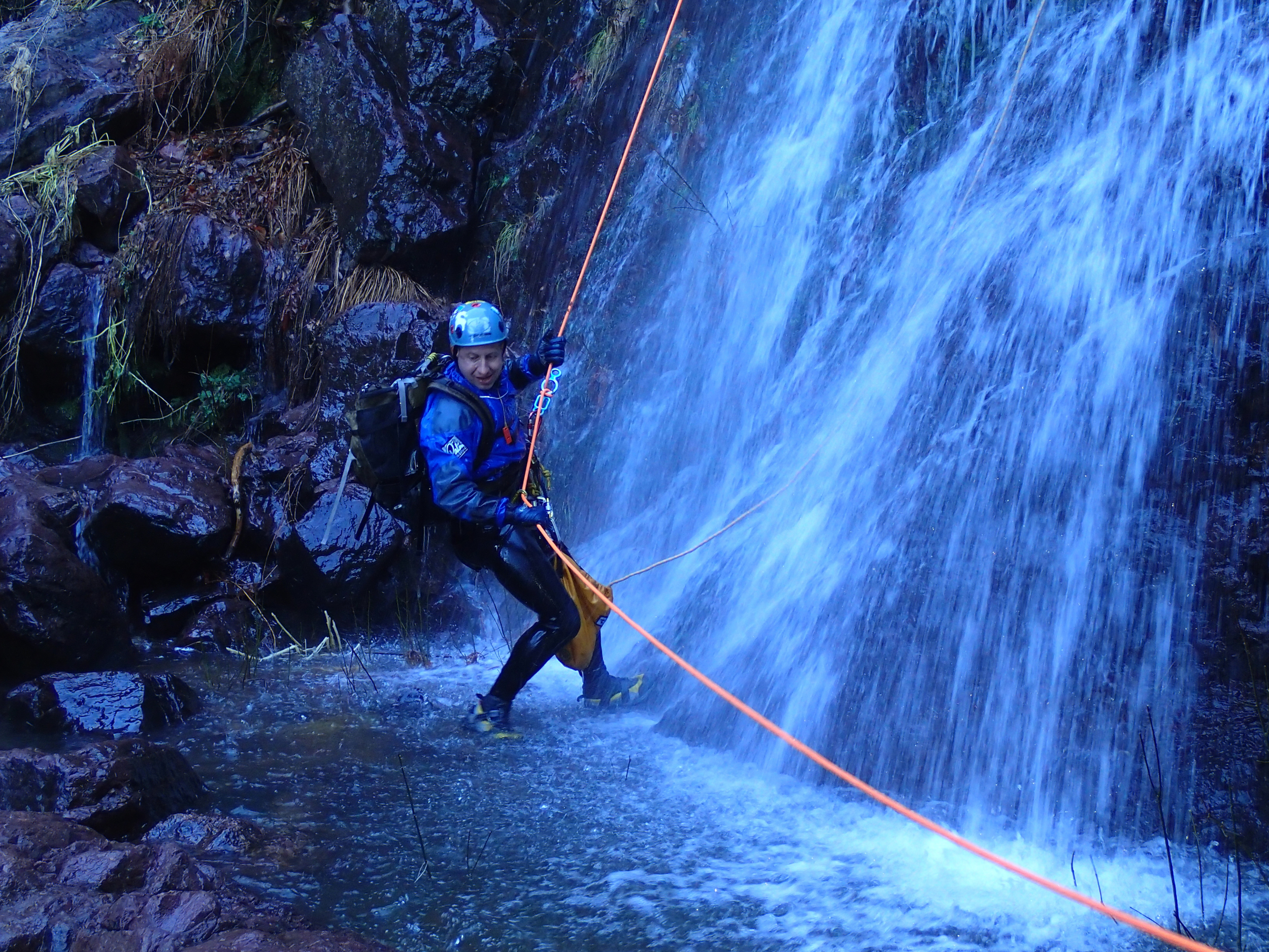
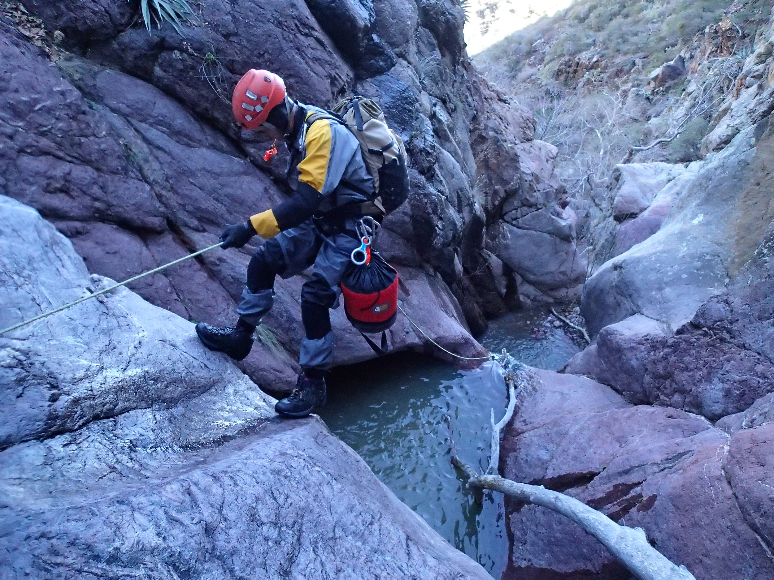
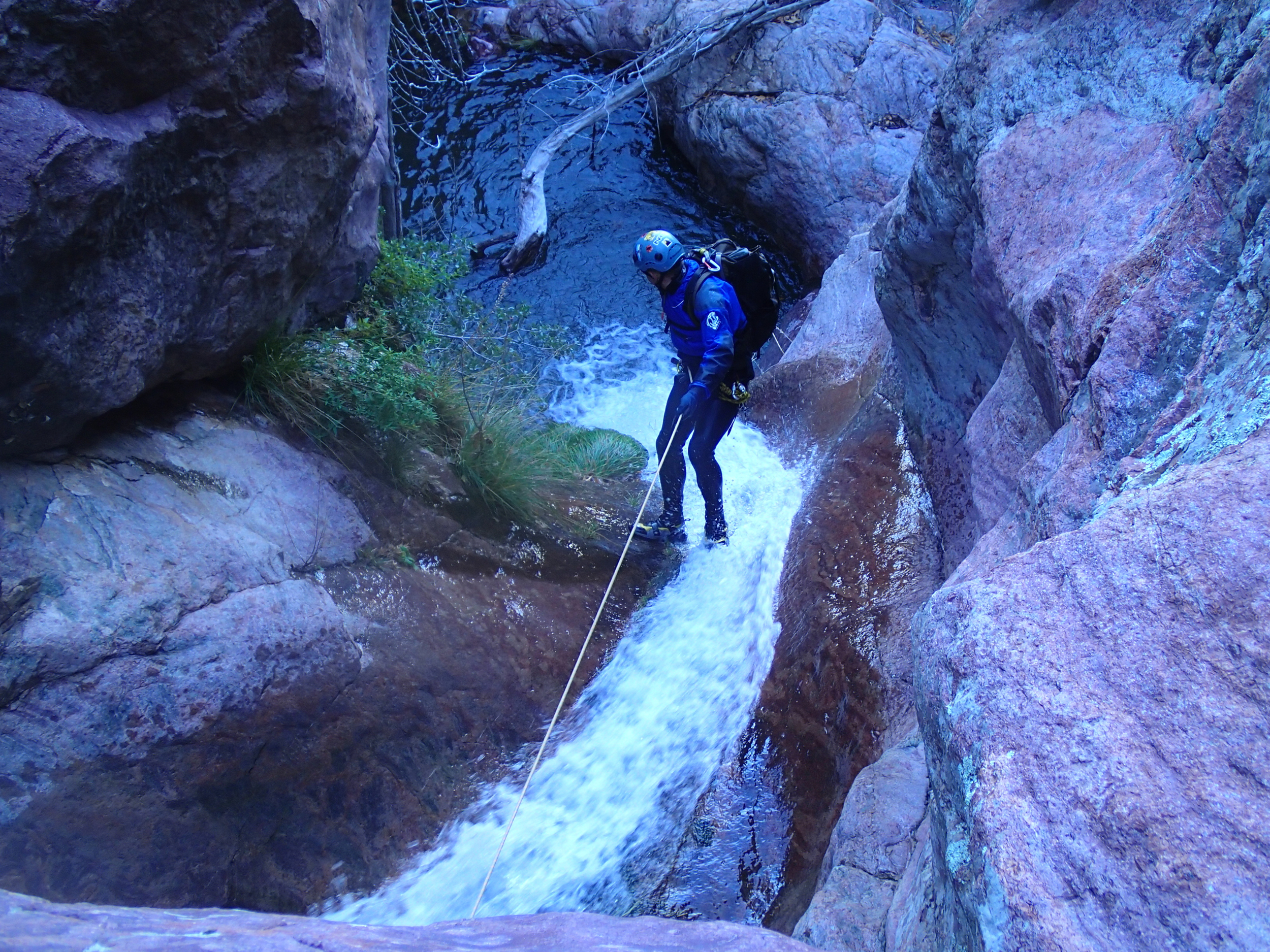
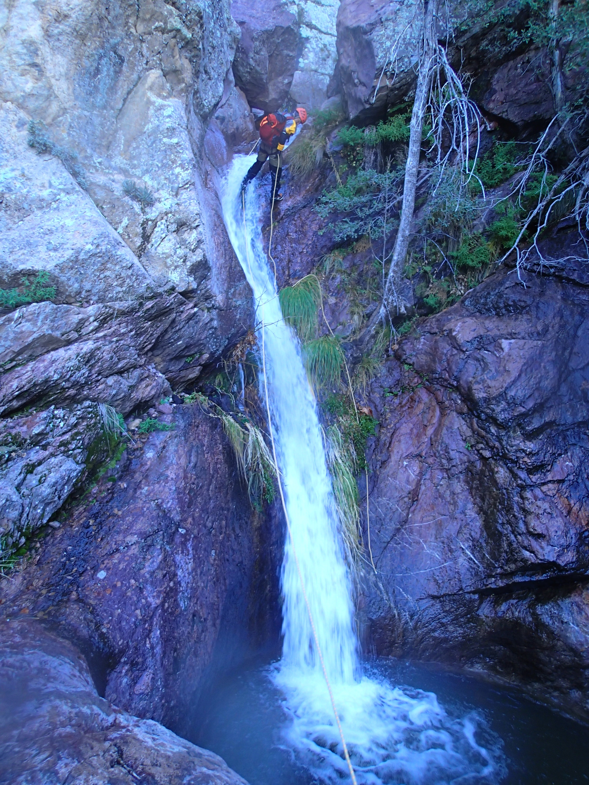
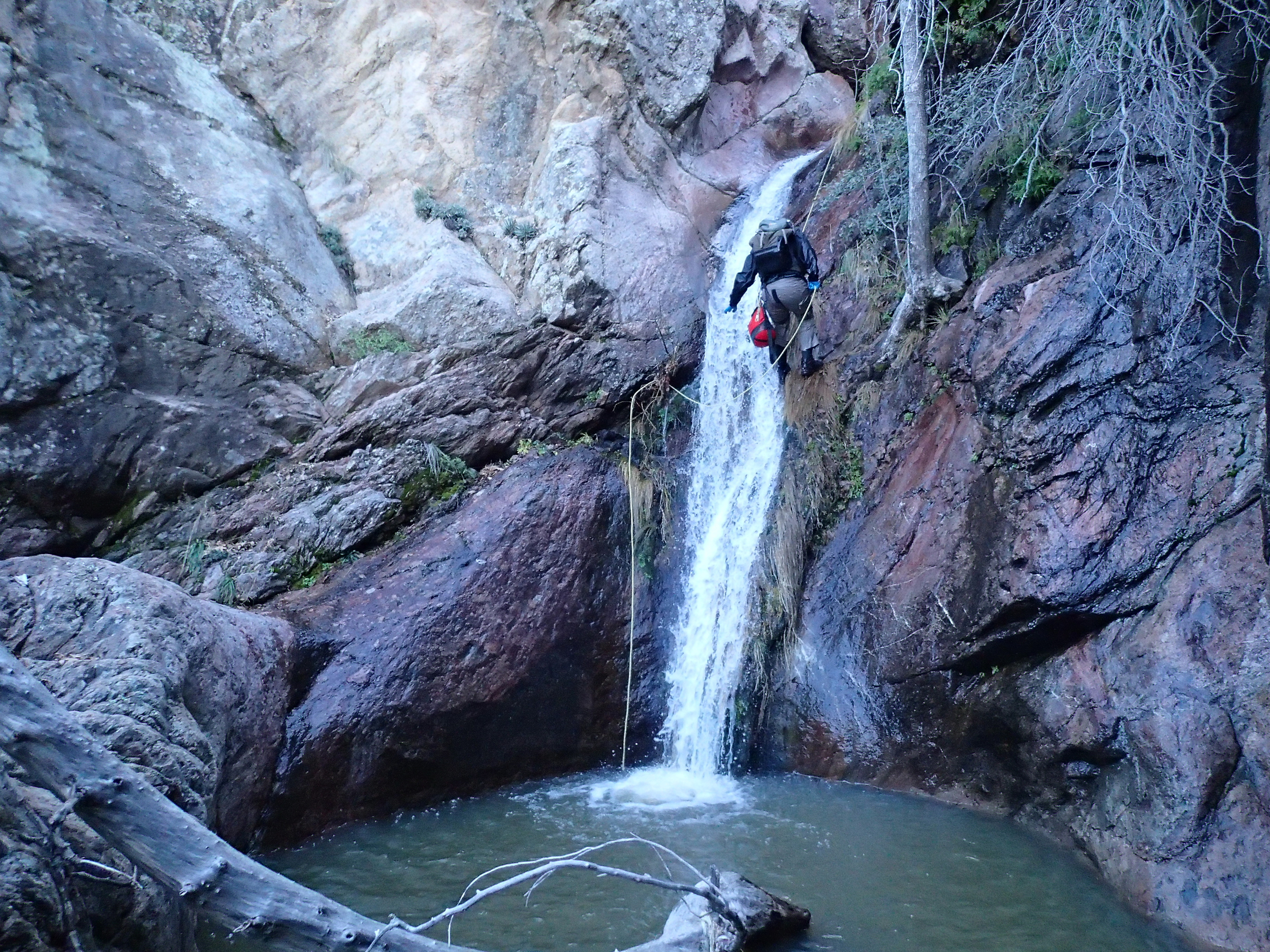
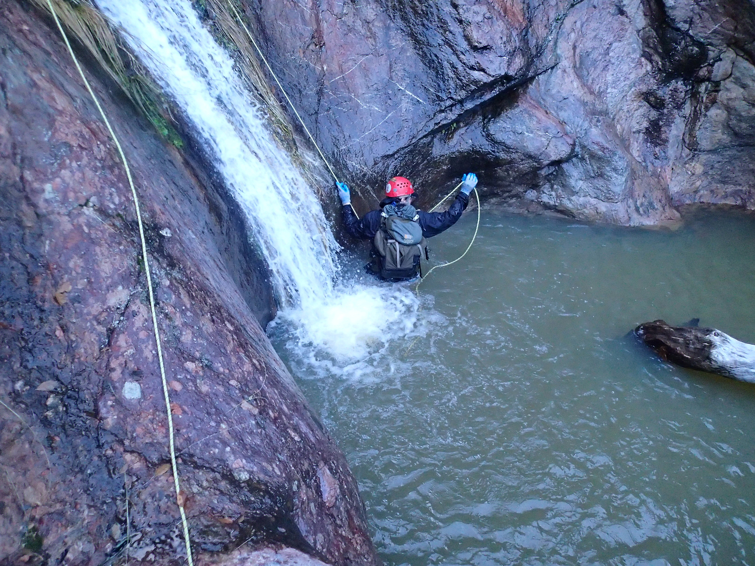
Rock Creek Canyon contains around 8 rappels (potentially a few more depending on your groups approach) and can be 7-10 hour day car to car (perhaps more with a large group) due to the approach and somewhat undefined exit route. Catching the canyon with flow makes for a great day typically handled by a pair of 200' ropes, wetsuit/dry-suit, rap rings, webbing, the typical essentials (perhaps a 100'rope or pull cord in someones pack for insurance). Parking is found just off the main road in near a circle of trees where camp can be set up if one wanted to head up the night before. Occasionally hunters set up here, but we have always been able to park just off the road without interfering with their campsite. The approach begins directly from this camp where you will find a trail that has you crossing the creek almost immediately and takes you upstream and eventually to a well defined trail to follow up to the top. The goal is in the form of two rock bands that can be seen in the distance, the canyon begins immediately once you have clawed your way up and over the second band. Once over the first rock band, you take a sharp left and soon find yourself paralleling the canyon. At this point that the trial goes from well defined to extremely faint. Overgrown bushes, rocky sections, and the less traveled path can leave you searching a bit for the route, but it is there. I have noticed flagging tied to trees occasionally as a guide in, but simply paying attention to details and common sense will get you there. Once you reach the top of the second rock band you will immediately arrive at the first rappel where there is room for everyone to get geared up. Throughout the canyon, you will find yourself in and out of water (typically cold snow melt), but not necessarily swimming for extended periods. The canyon begins to come to an end shortly after you drop down the big waterfall rap of approximately 180', typically anchored off some of the large rocks/boulders up top. Shortly after this 180' drop you will find yourself going over a two stage rap through a pool followed by the final rappel down a short section starting in a small chute to the pool below. Once you are able to gear down, the exit is the next challenge as it is not very well defined. Exiting is fairly straight forward, but can be a bit of a choose your own adventure back to the vehicle. The route shown on the GPS track is simply one of the easier ways our groups have taken in the past. In my opinion, the trail you came in on is outstanding in comparison to the uneven terrain off the beaten path and working back to it is beneficial. The exit on the map below takes you out on canyon left where you work your way up the ridge line weaving through bushes and following animal trails until you eventually reach the top. At this point, a descent view of the surrounding terrain and the trail can be seen. From here we dropped into a drainage for a short while and then made a B-Line for the trail we headed in on earlier that morning because it was only 0.20miles away. Back on the main trail it was easy work to make our way back to the vehicle and call it a day.
Trip Photos
Interactive Topographical Map

GPS Download

Printable Map

Weather Report